


7 Best Wonders of Cusco
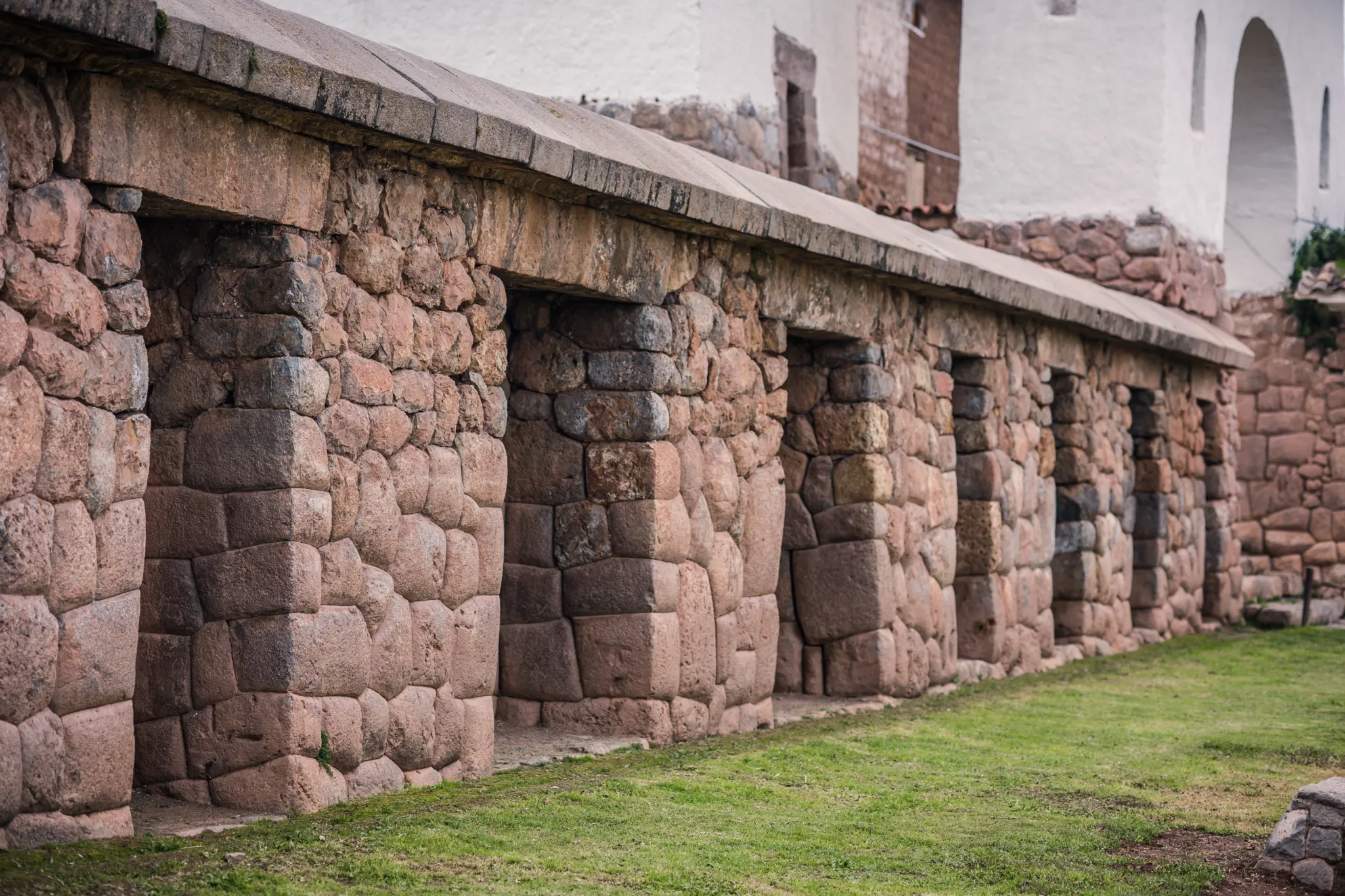
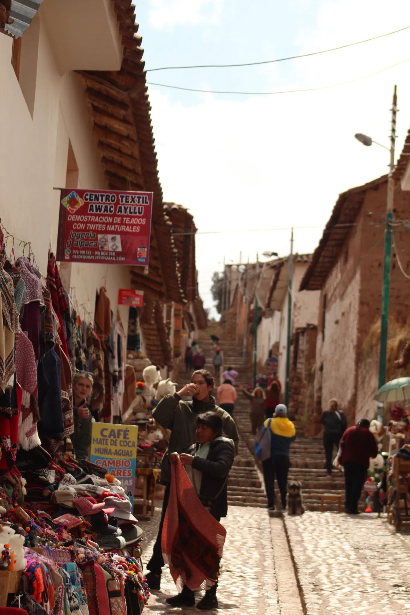
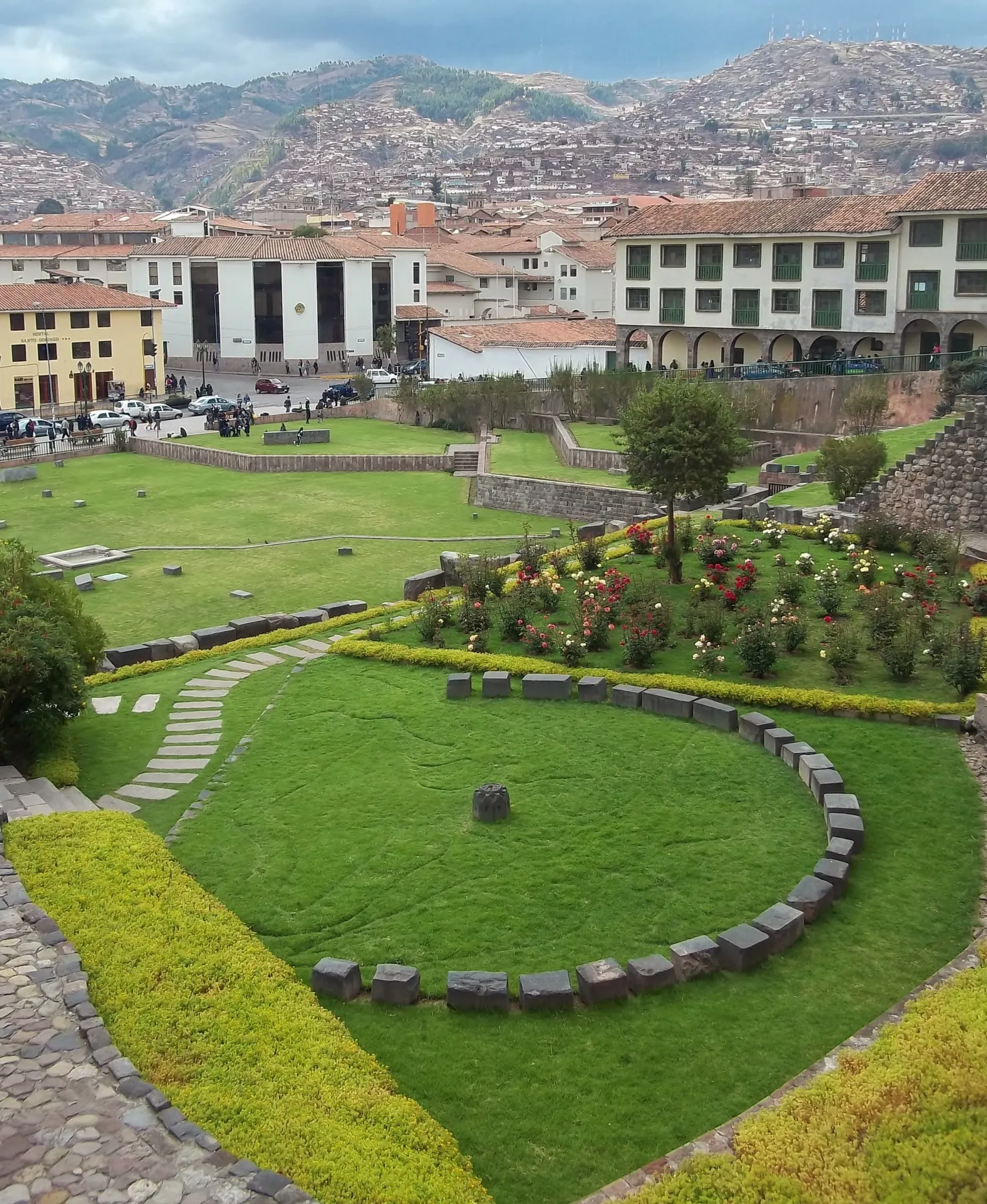
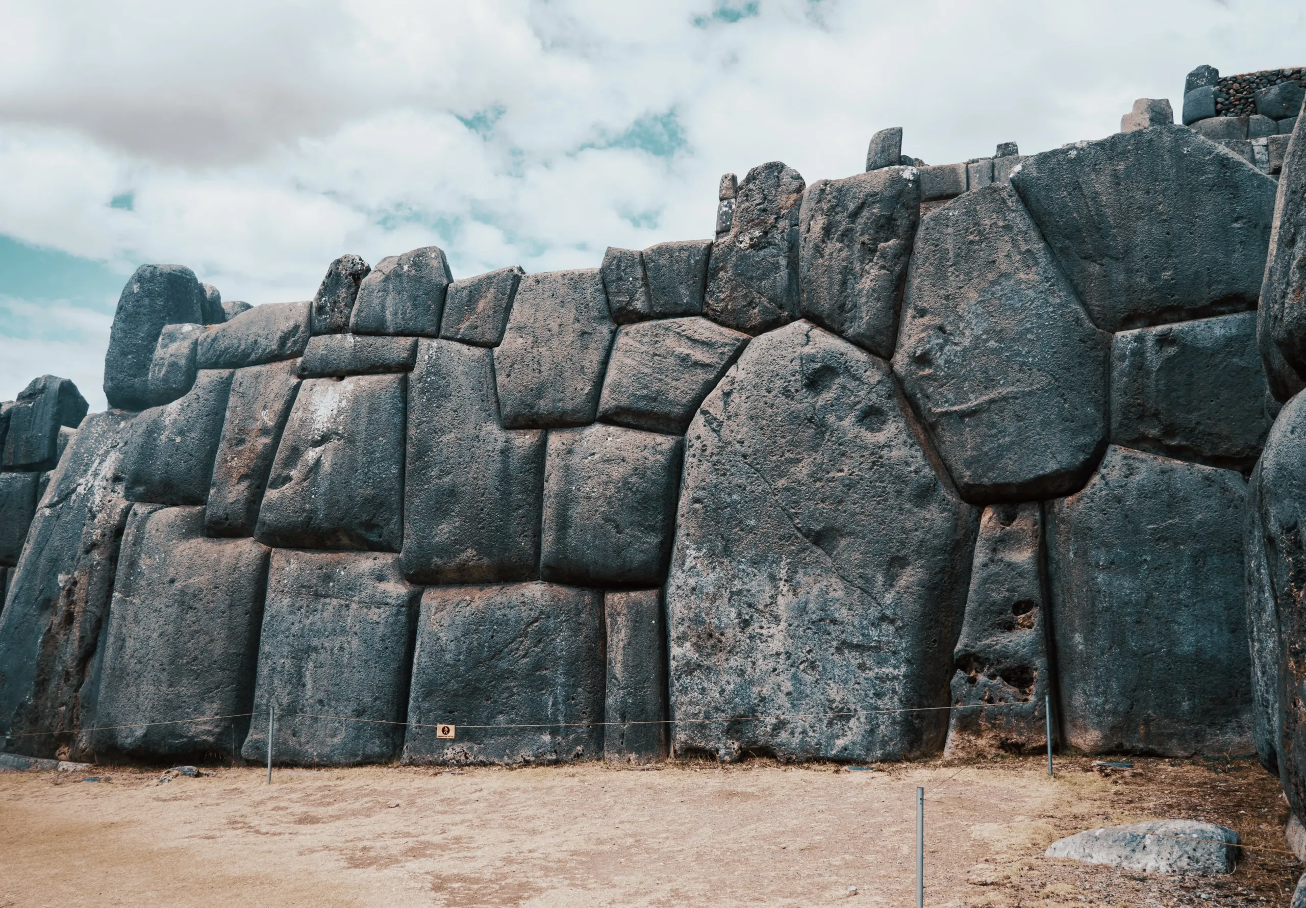
# Cusco city
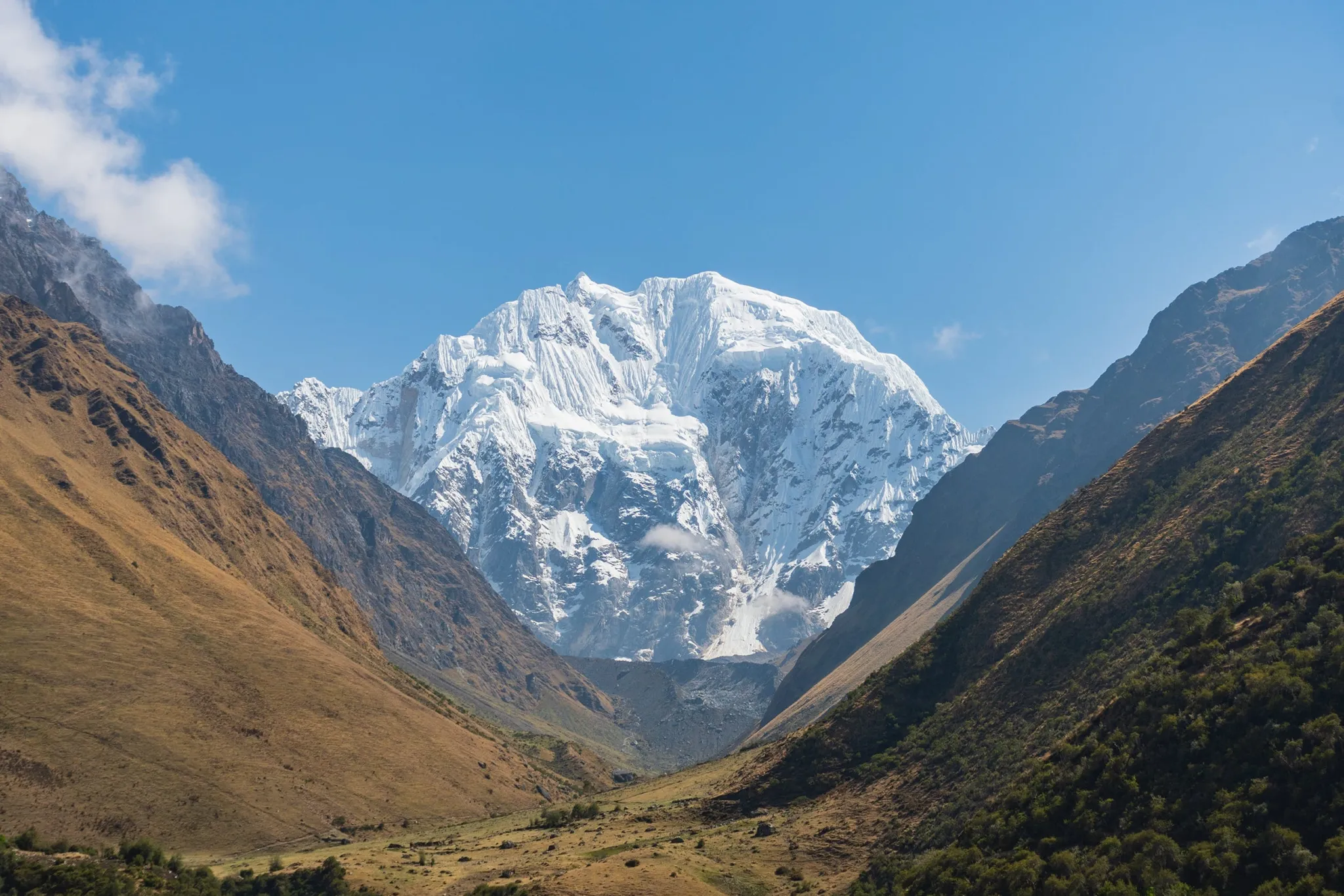
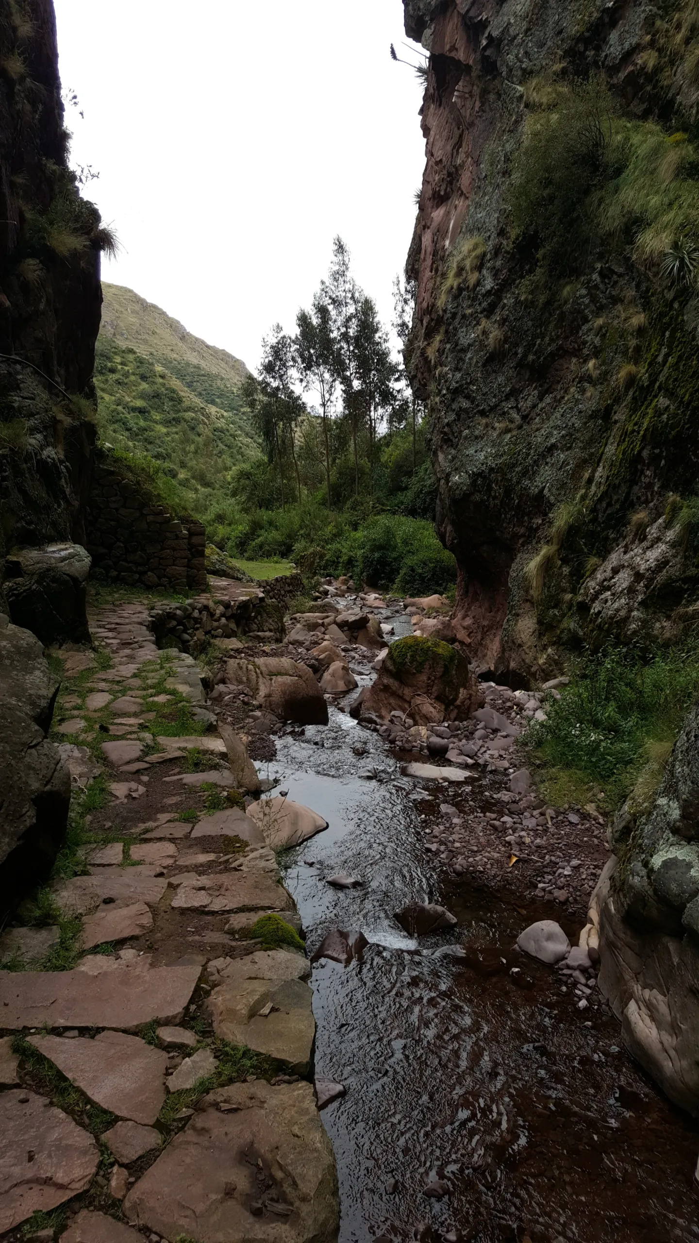
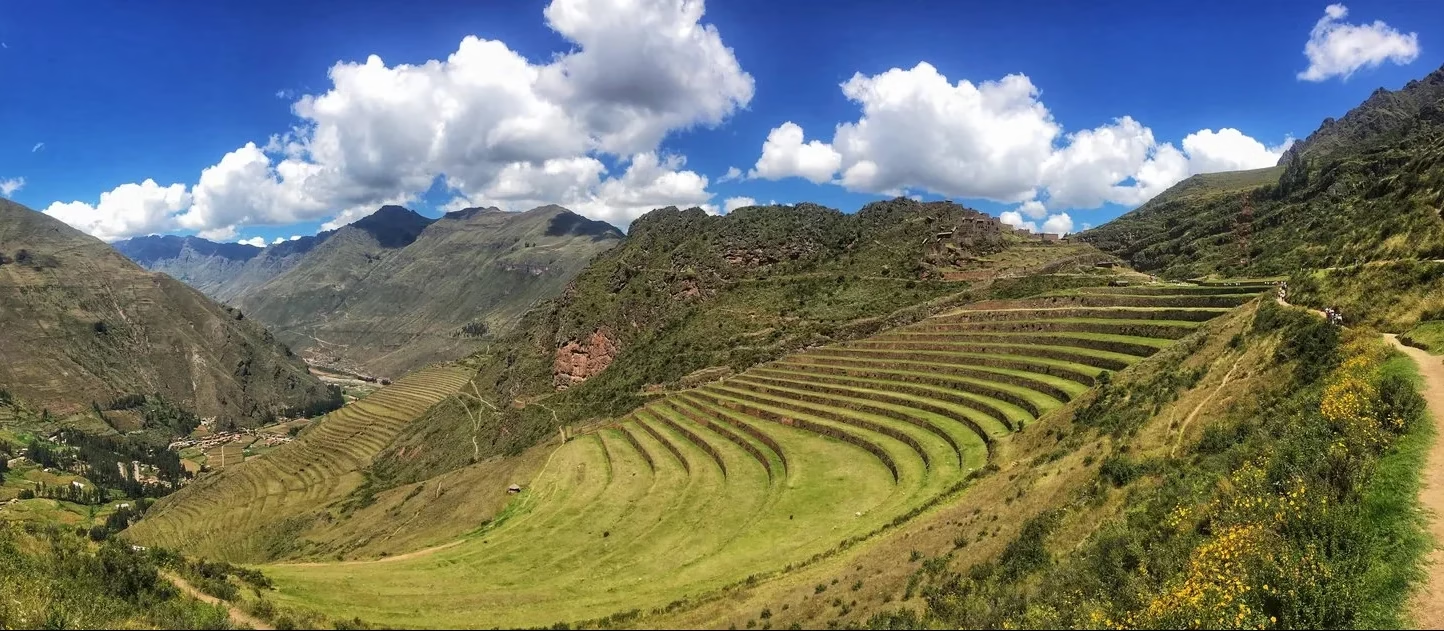
# Sacred valley
# Ollantaytambo
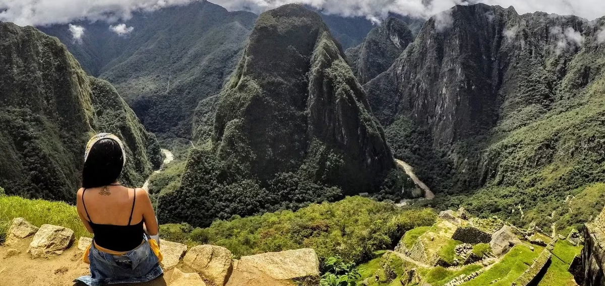
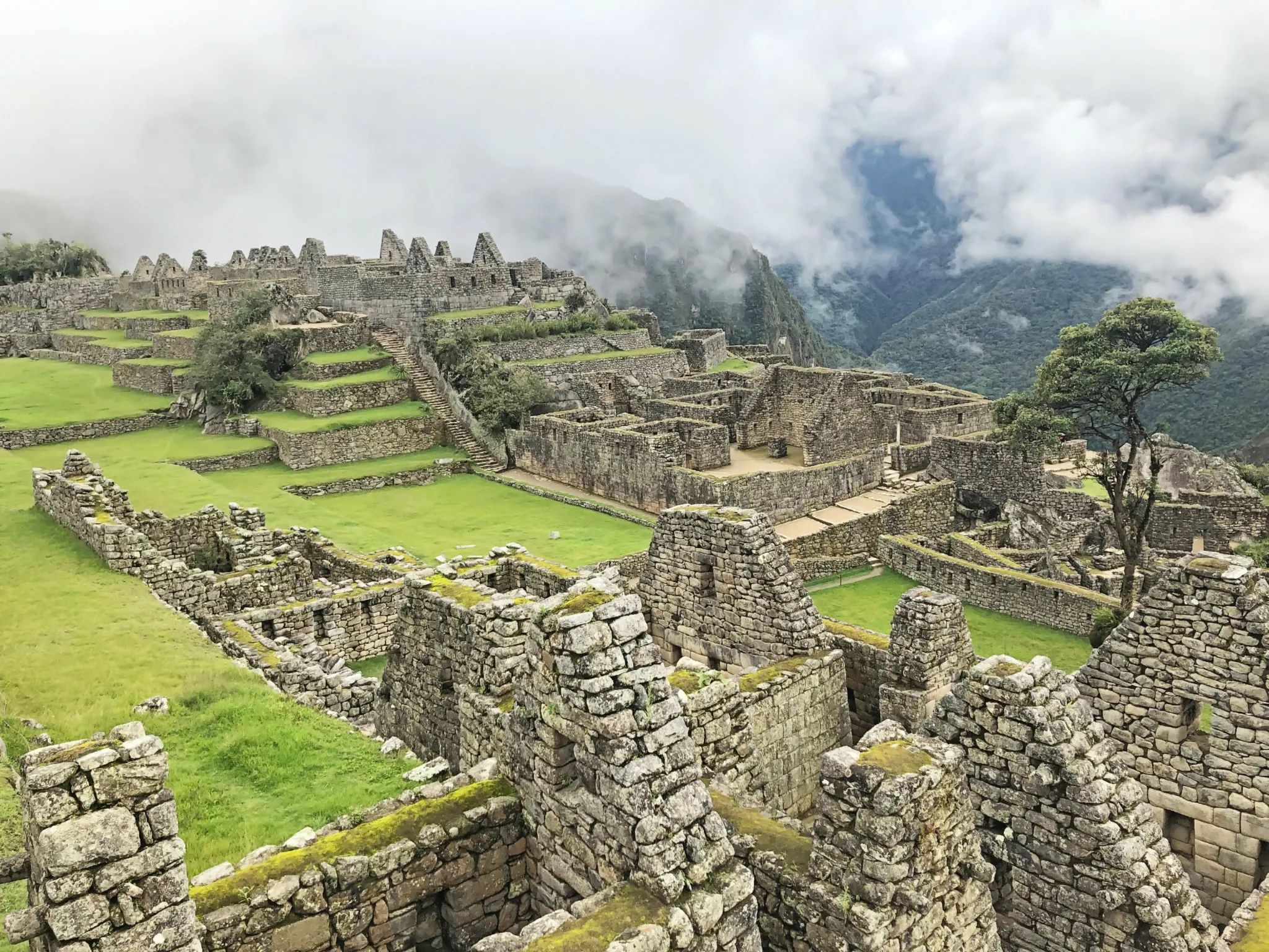
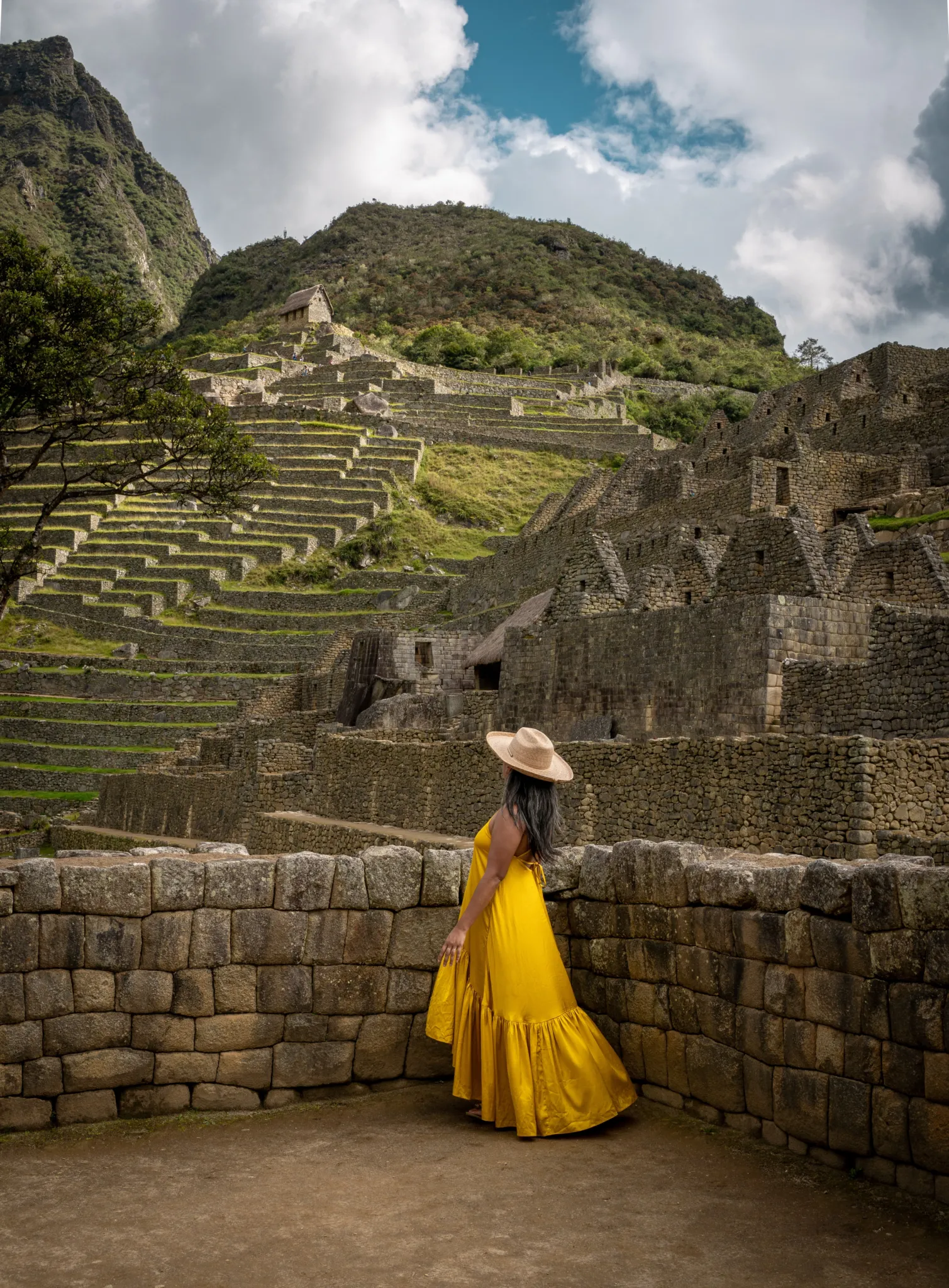
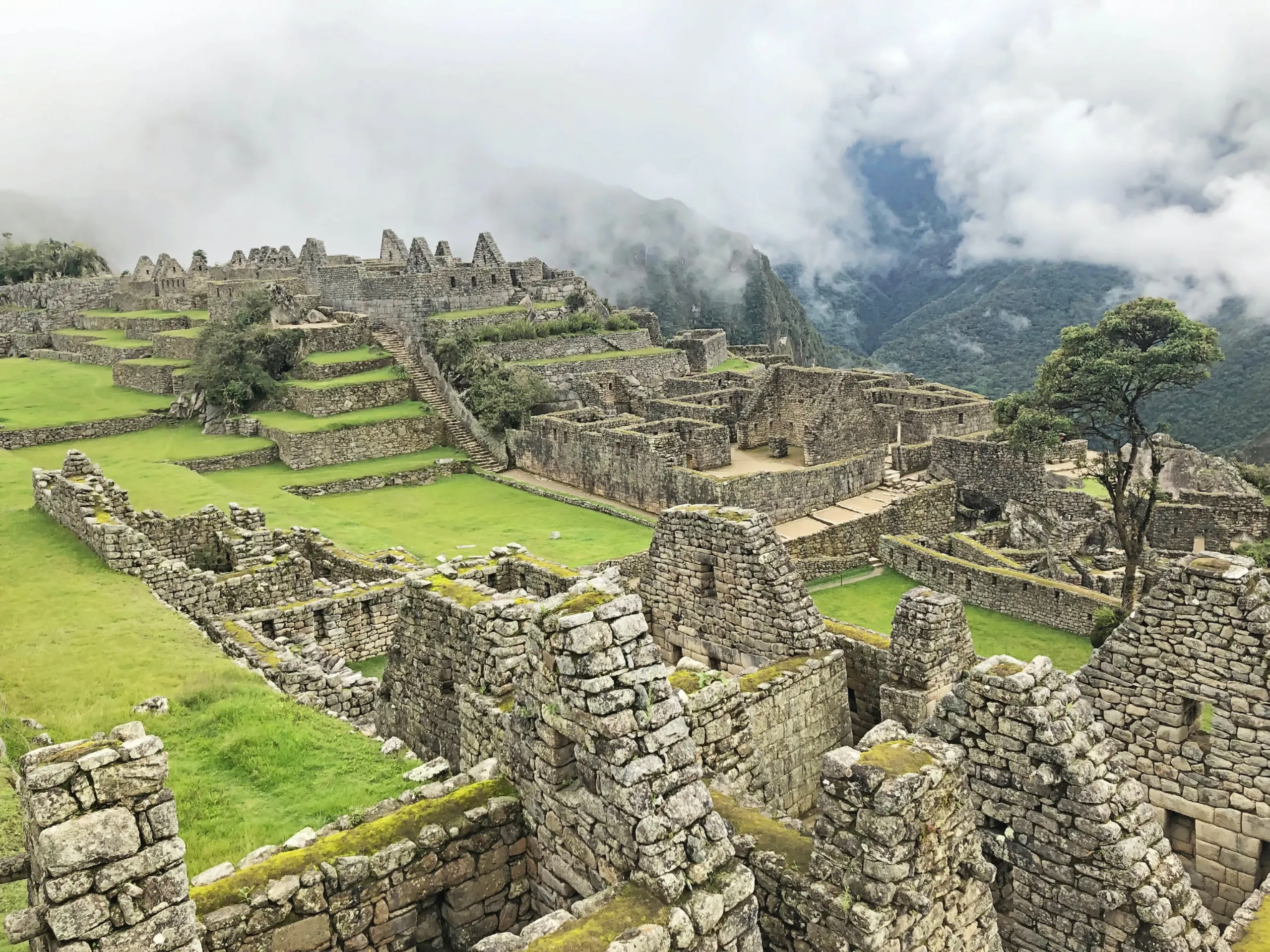
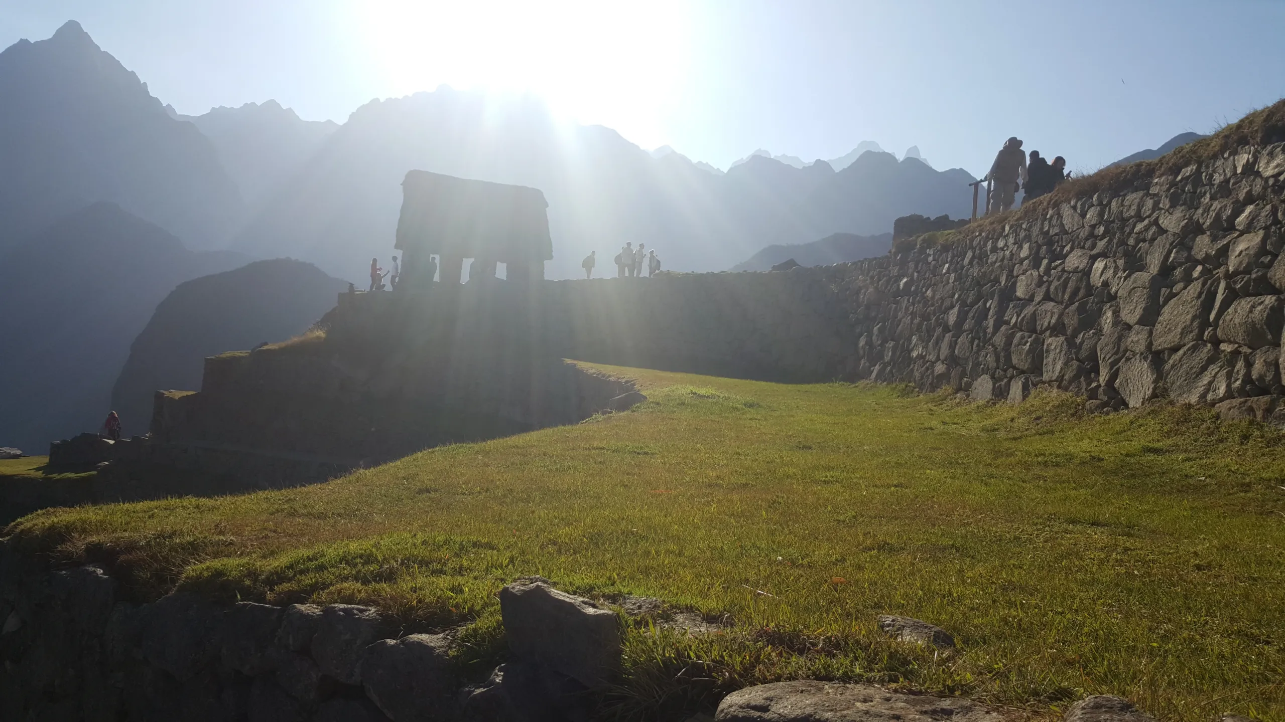
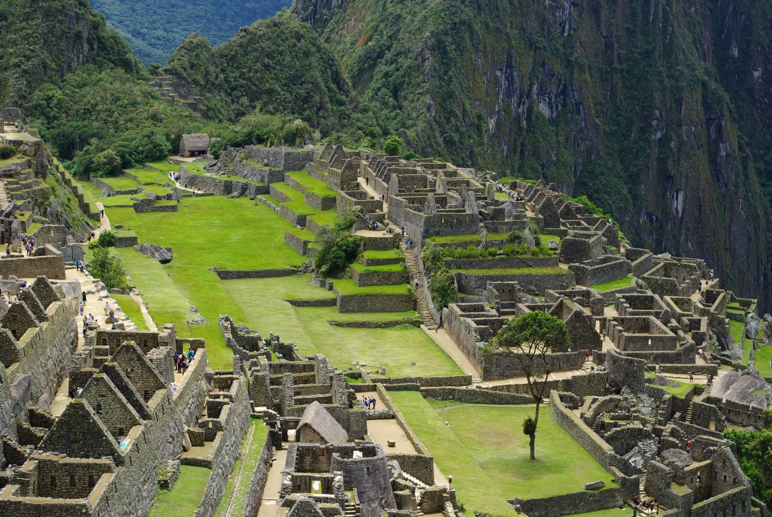
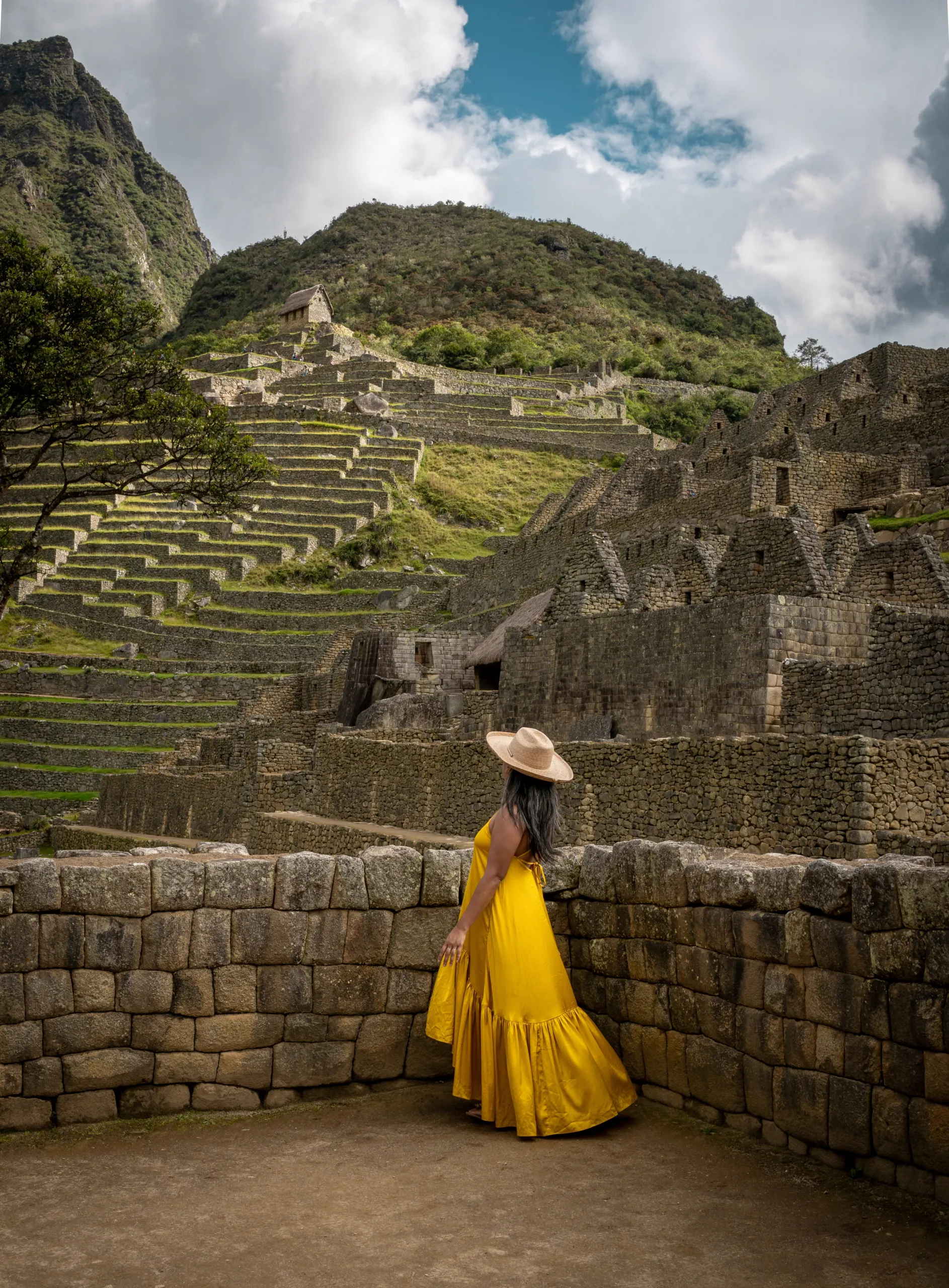
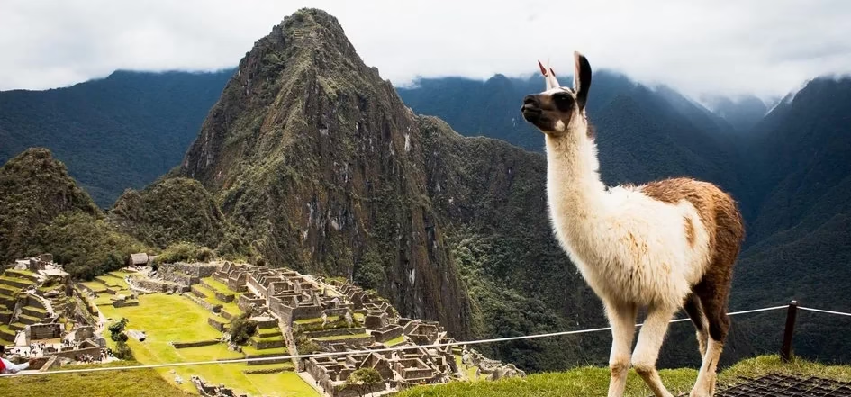
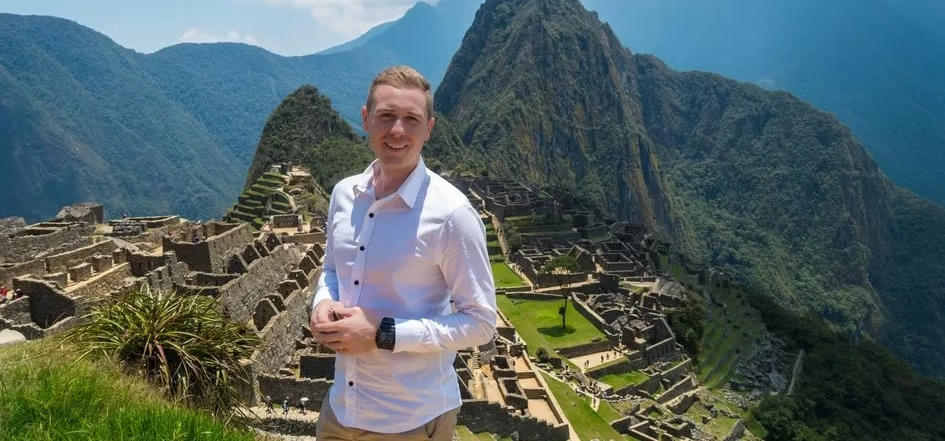
# Machupicchu
# Maras & Moray
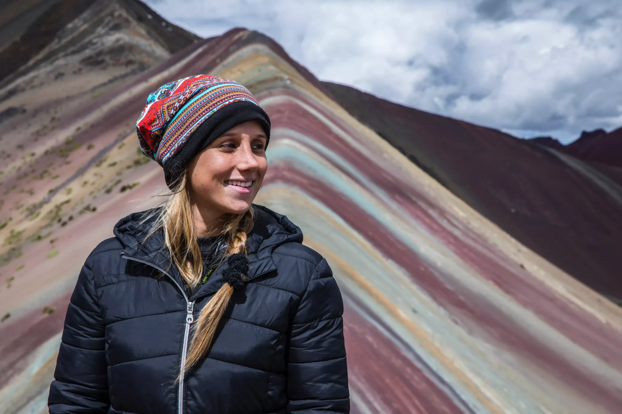
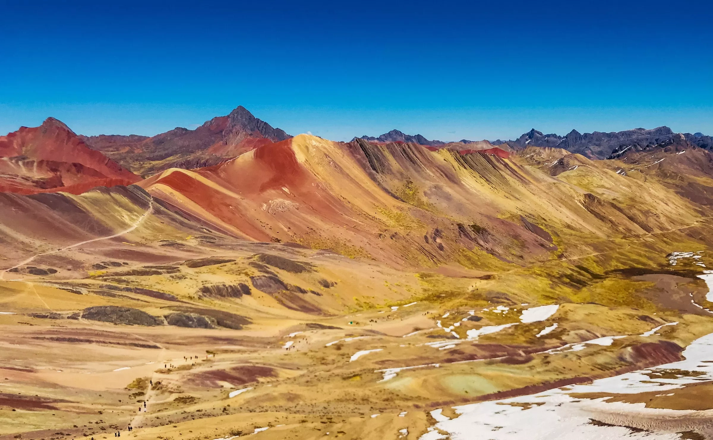
# Rainbow mountain
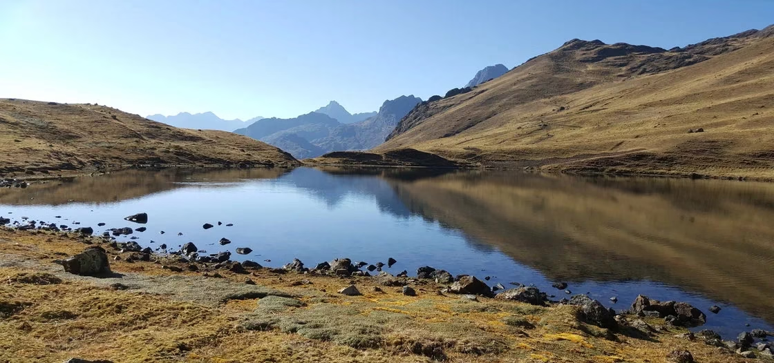
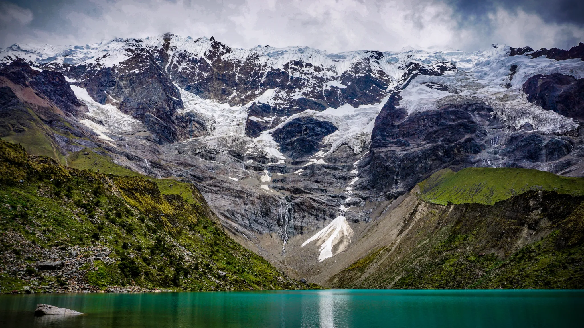
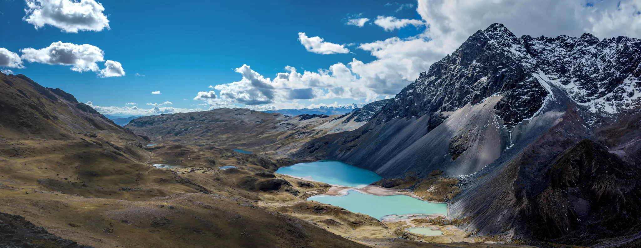
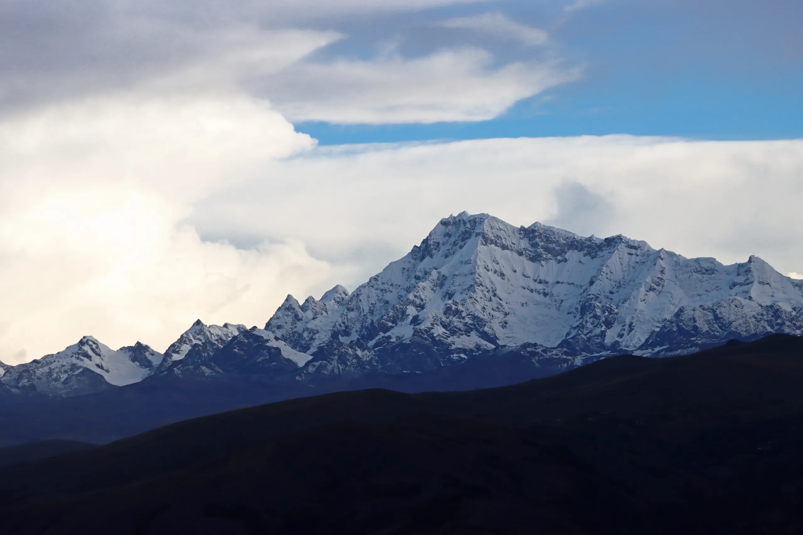
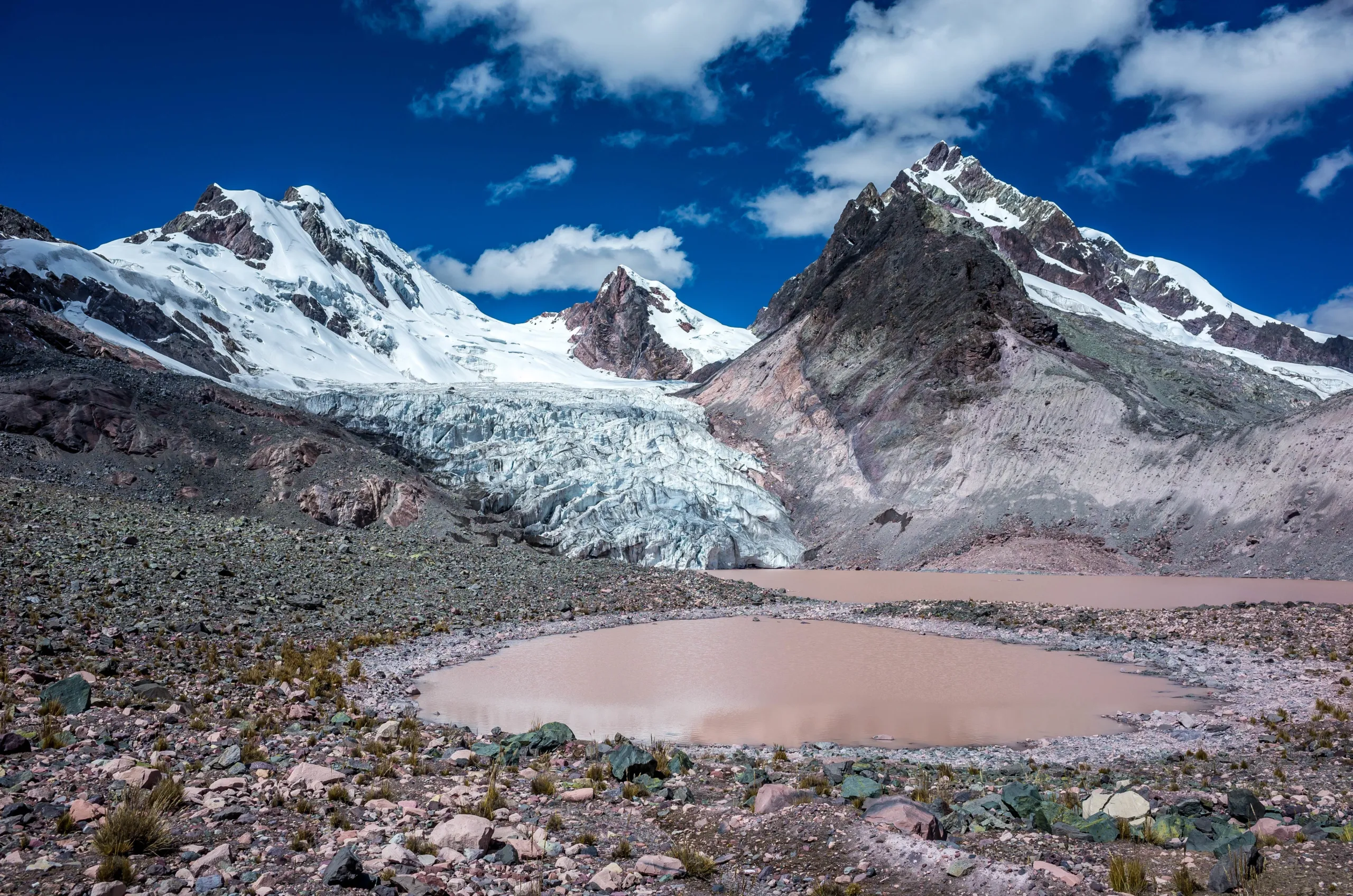
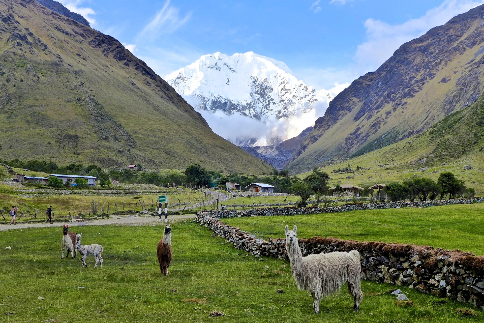
# Lake Humantay

Inka Journey
The Inka understood something about the human nervous system that modern wellness culture is still trying to reconstruct: that genuine recalibration requires sustained exposure to natural environments, physical challenge, ancestral knowledge, and digital absence over a period of time long enough for the ordinary mind to exhaust its usual strategies and arrive at something quieter and more essential underneath.
Twenty-five days is that period of time. Not because the itinerary requires it, but because the transformation does.
This program is not for those who want to be entertained by fleeting happiness. It is for those who are ready to discover what remains when the entertainment stops — and to find that what remains is considerably more interesting than what preceded it.
Highlights
# Salkantay
# Rainbow Mountain
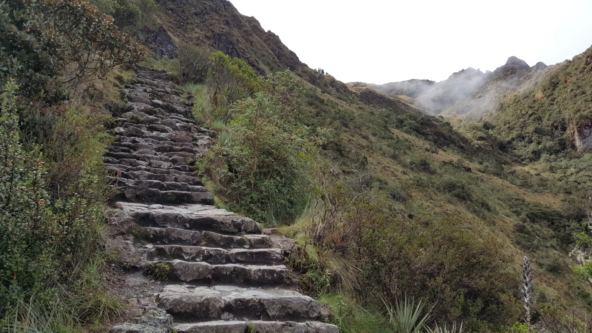
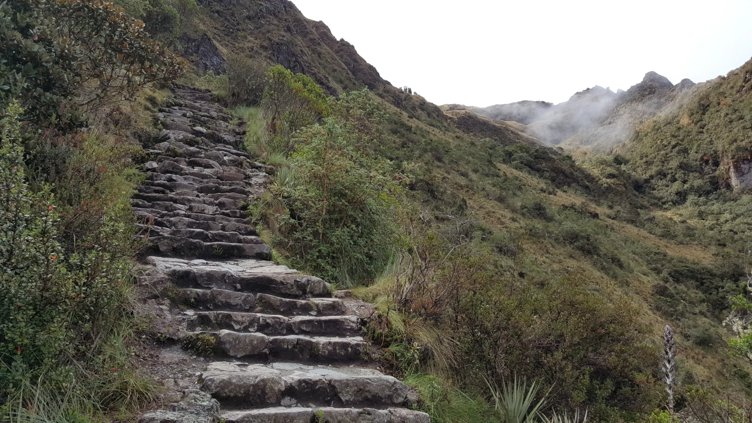
# Inca trail
# Ausangate
# Humantay Lake
# Self Moments


Reviews
There are no reviews yet.