


The City Has Never Stopped Speaking. Most People Just Walk Past.
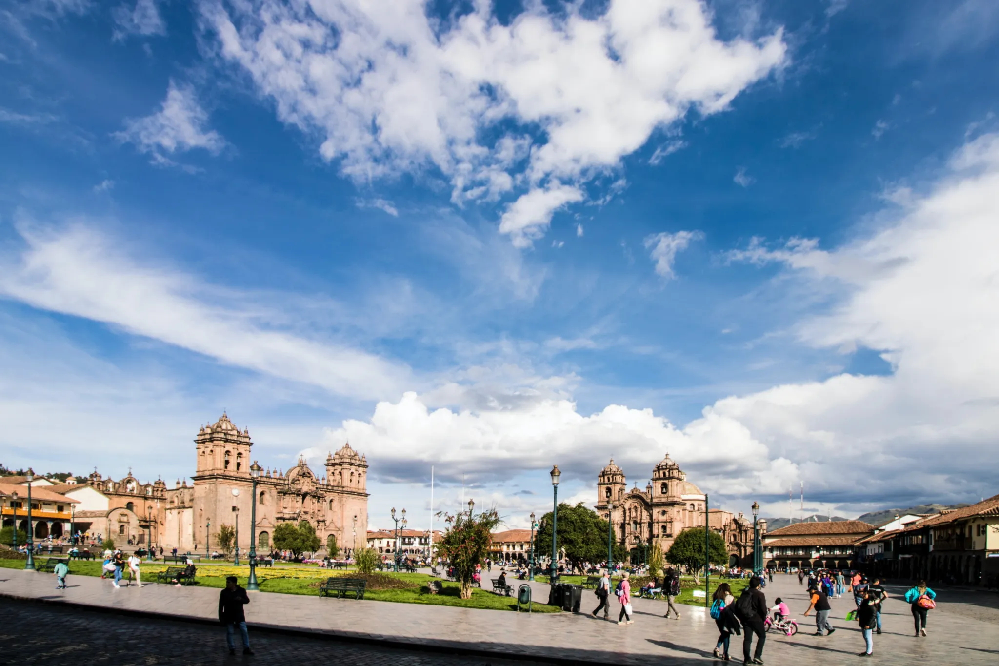
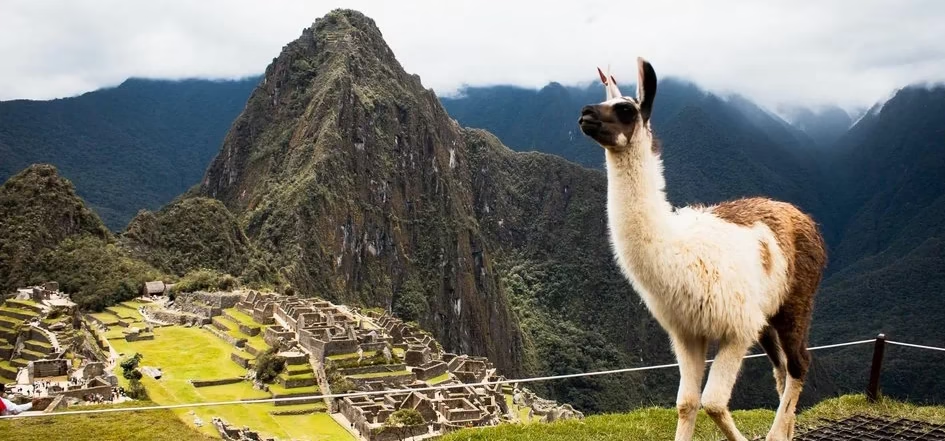
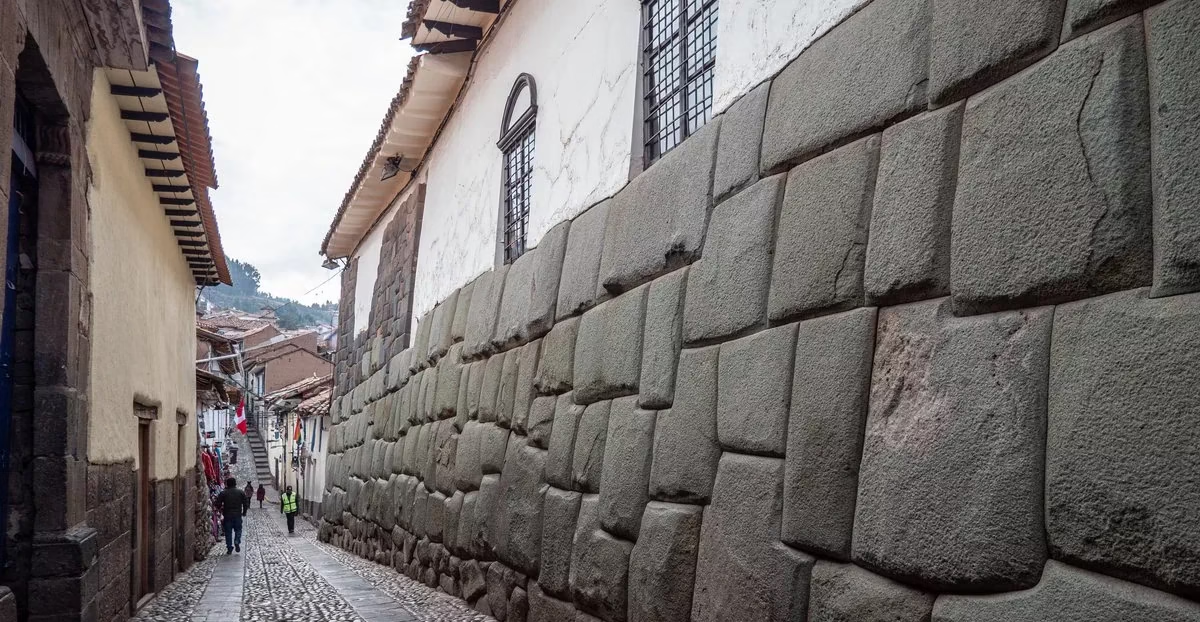
Cusco is not a city with archaeological sites. It is an archaeological site that happens to have a city built on top of it — and underneath every colonial façade, every cobblestone street, every church foundation, the original intelligence is still there, waiting for visitors who arrive with the right question.
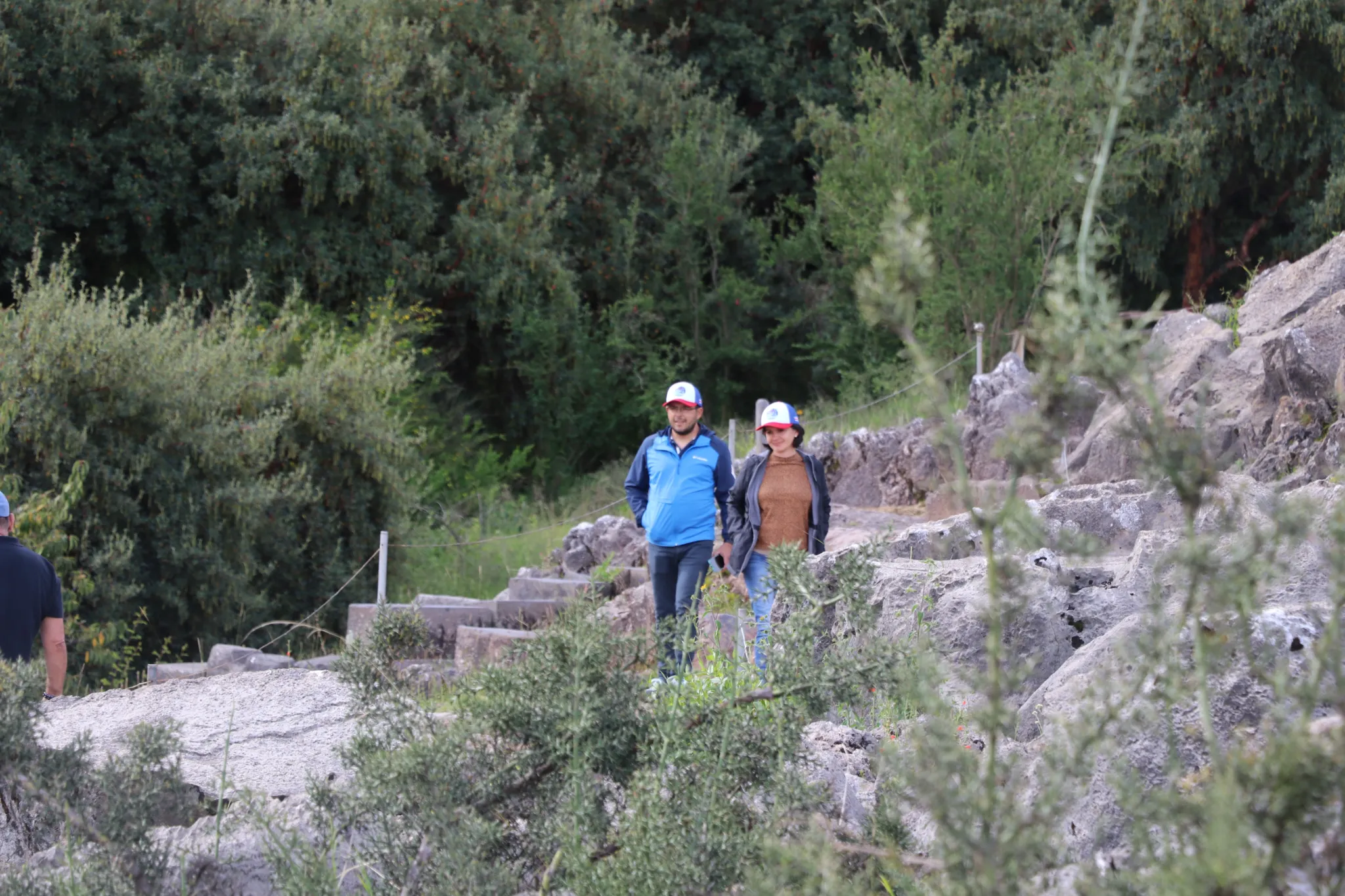
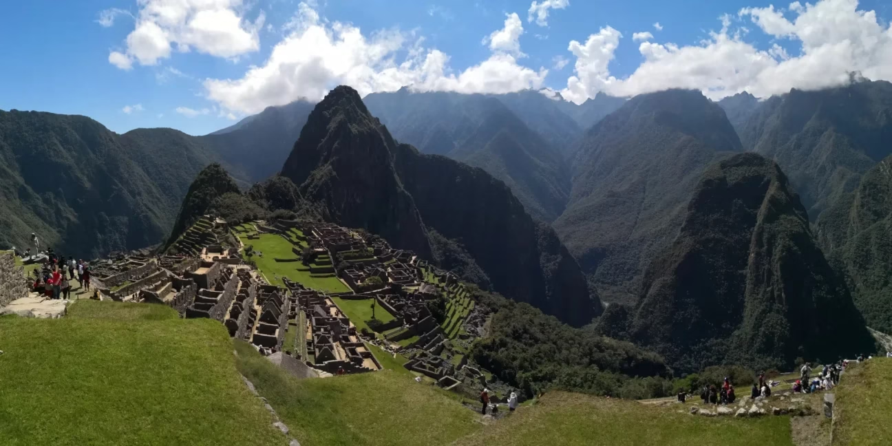
This full-day program moves through the essential layers of that intelligence — from the Inka walled streets of the historic center to Qoricancha’s celestial geometry, out through the city’s outer archaeological ring to Sacsayhuaman, Q’enqo, Pucapucara, and Tambomachay, and then onto a preserved section of original Inka trail for the descent back — a complete circuit of the capital’s cosmological architecture, walked in the sequence that makes it fully legible.
7 best Cusco sites
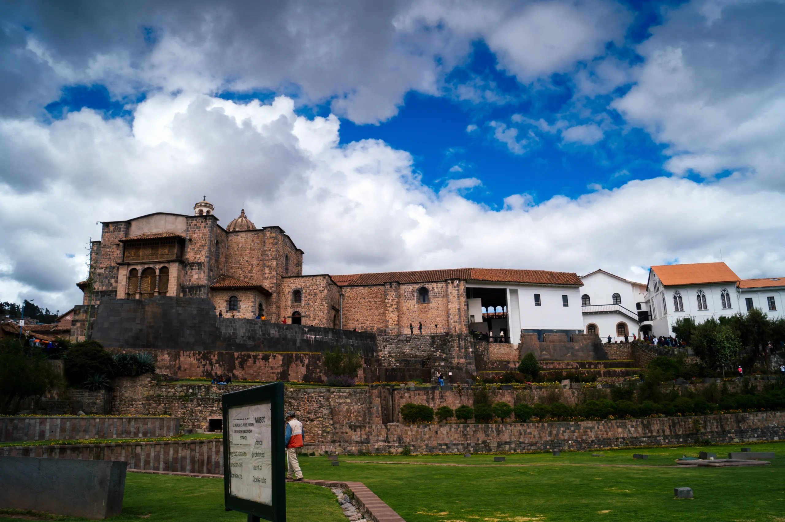
- Q’oricancha’s golden ratios that still baffle architects.
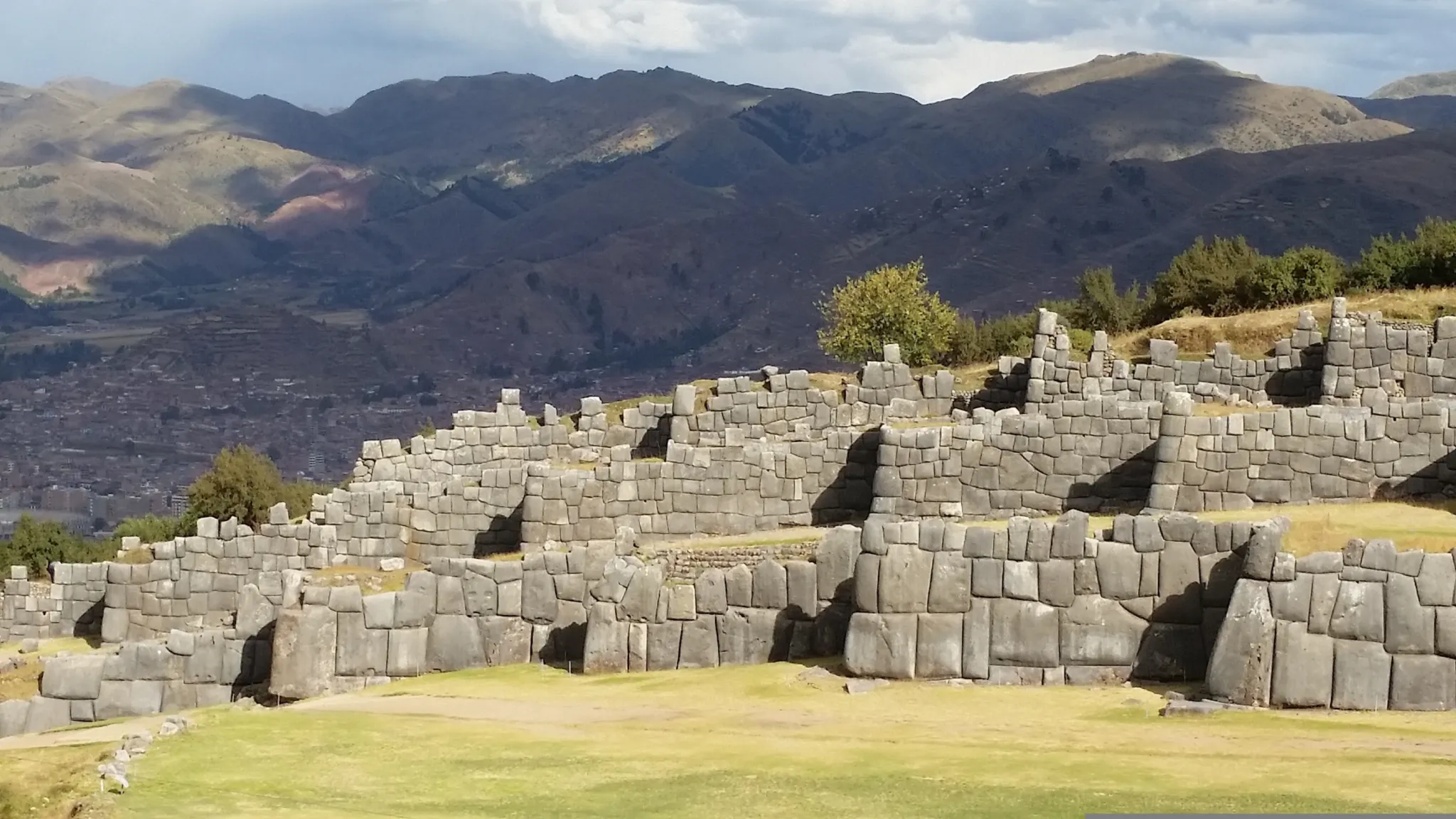
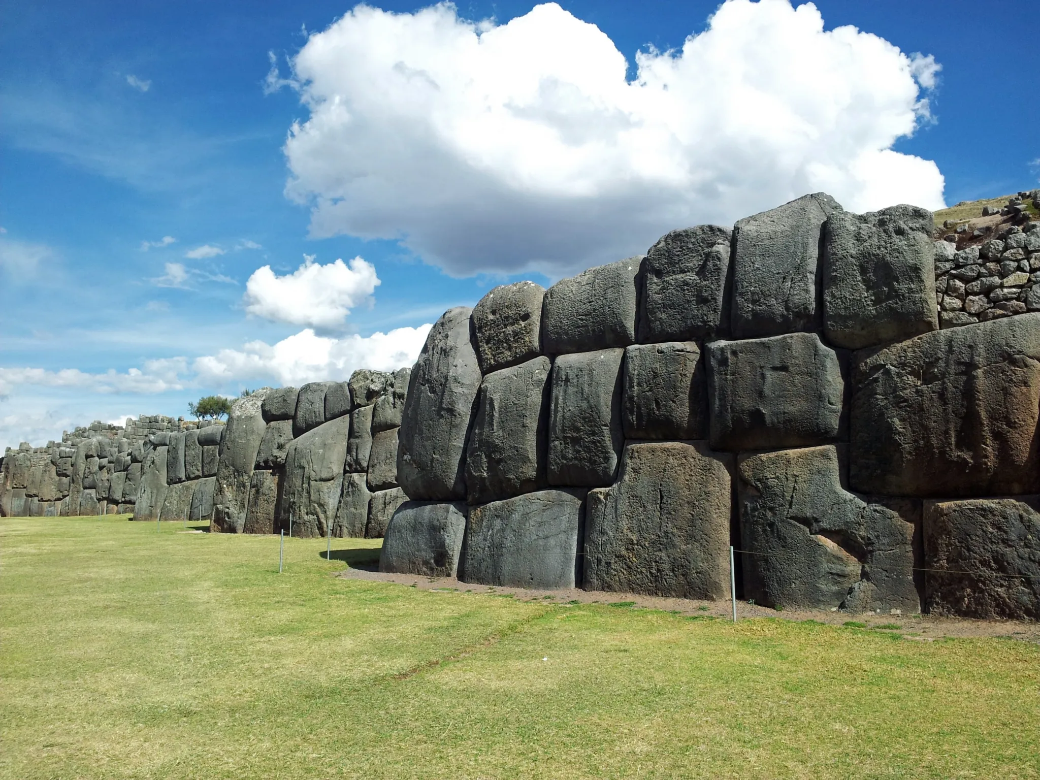
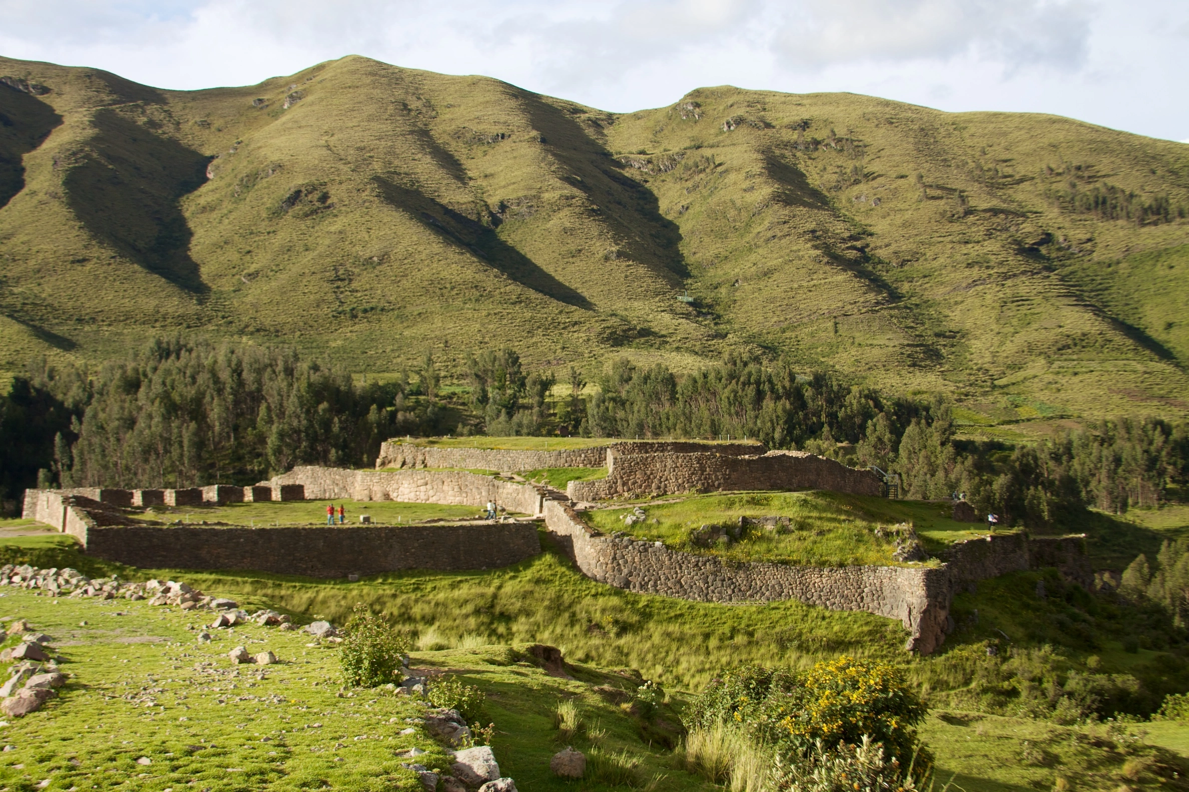
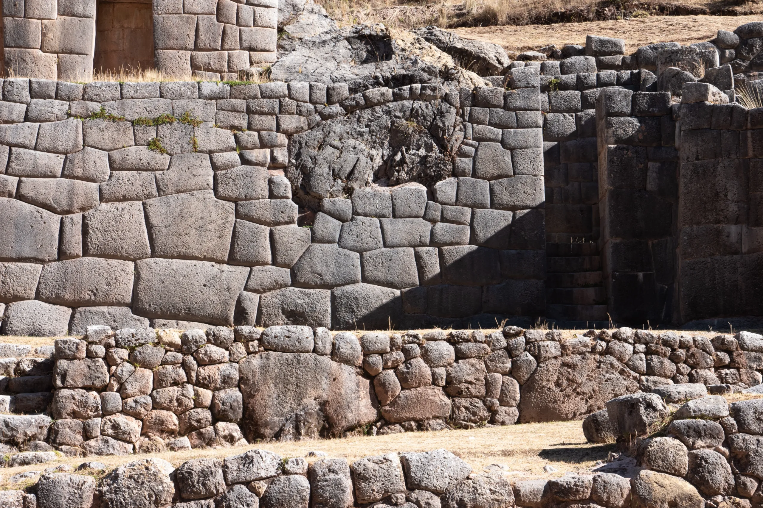
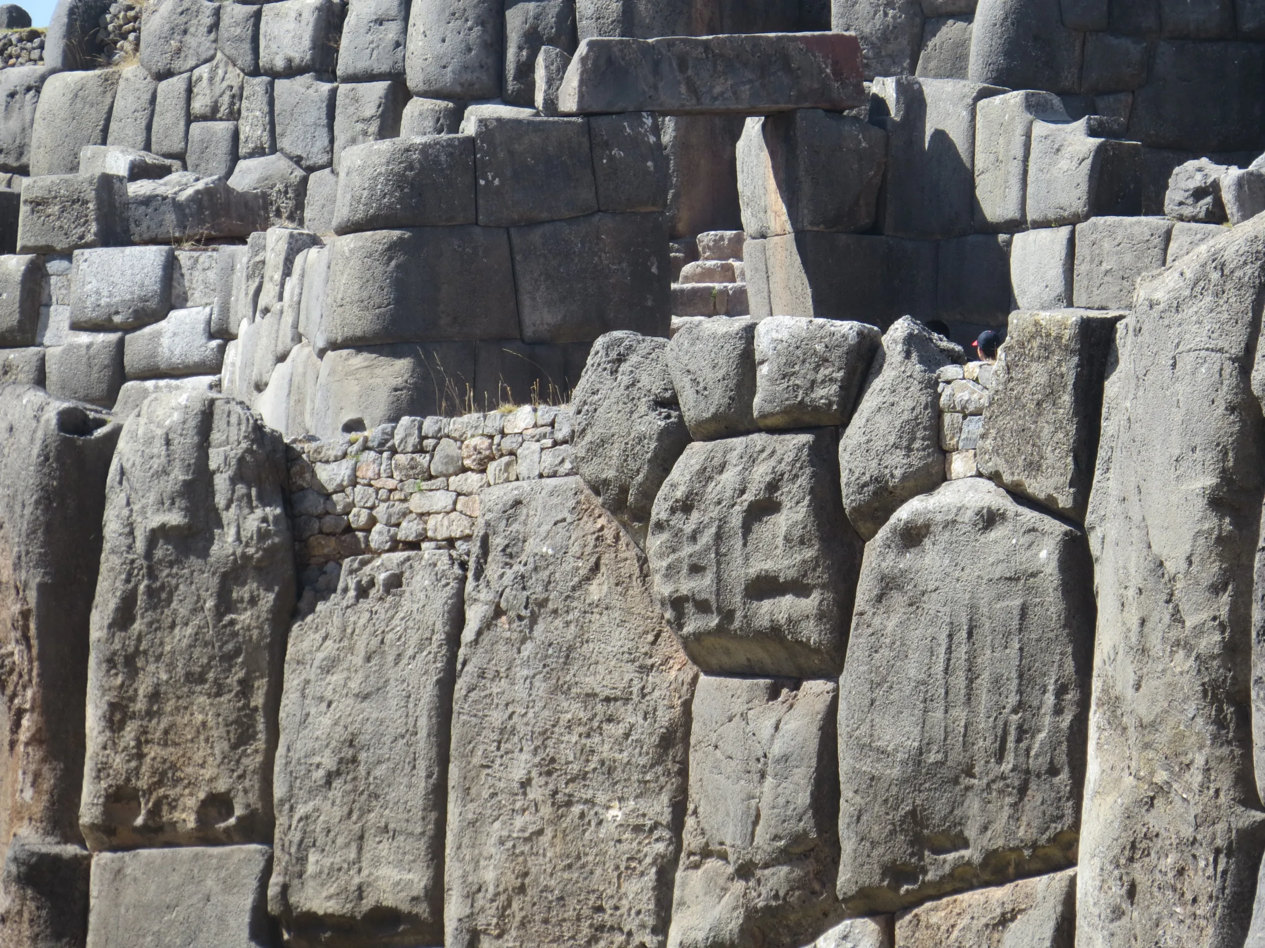
- Sacsayhuaman’s megalithic puzzle walls whispering engineering secrets.
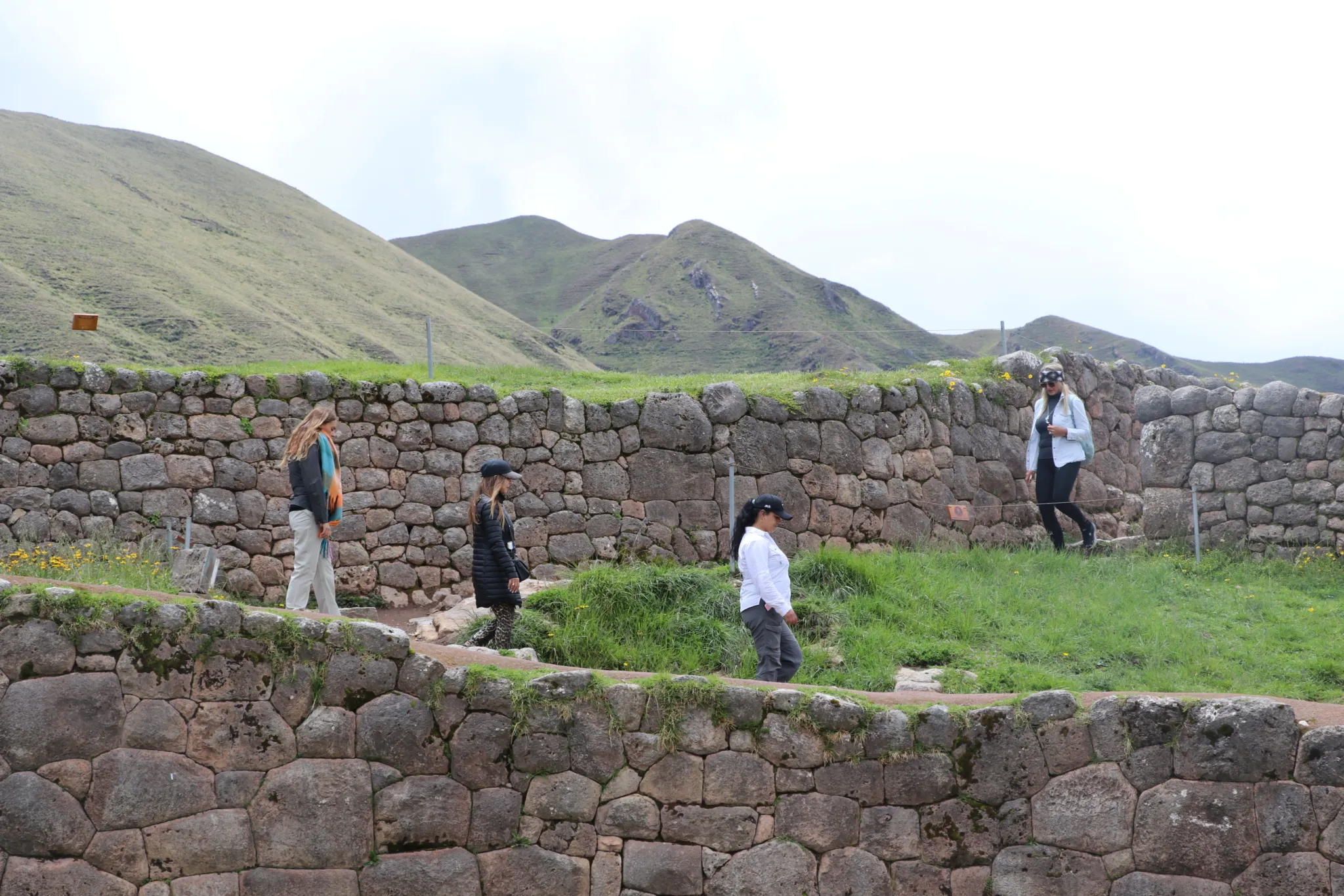
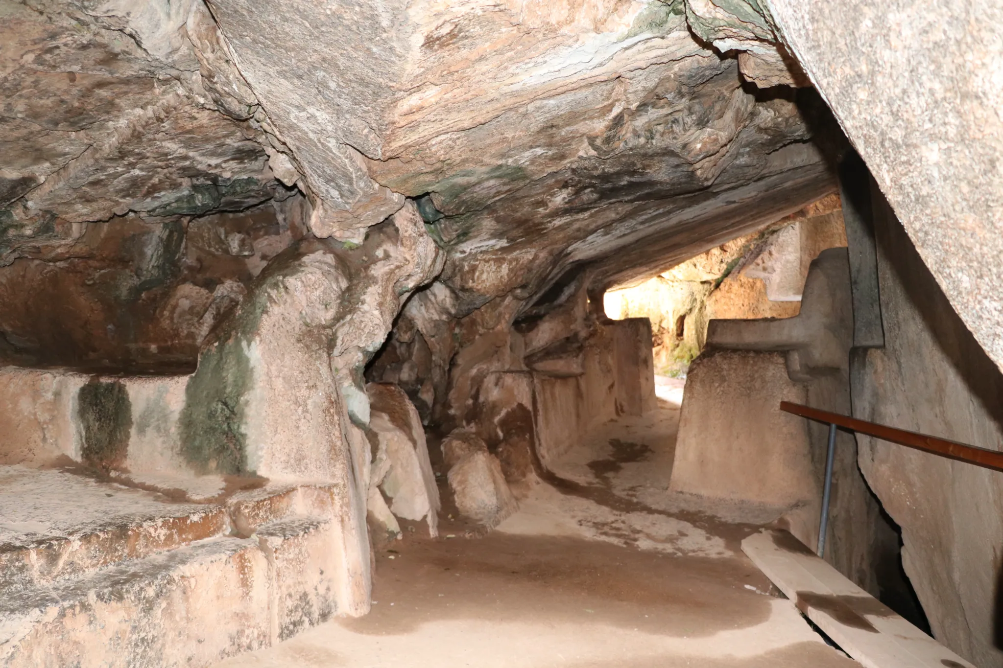
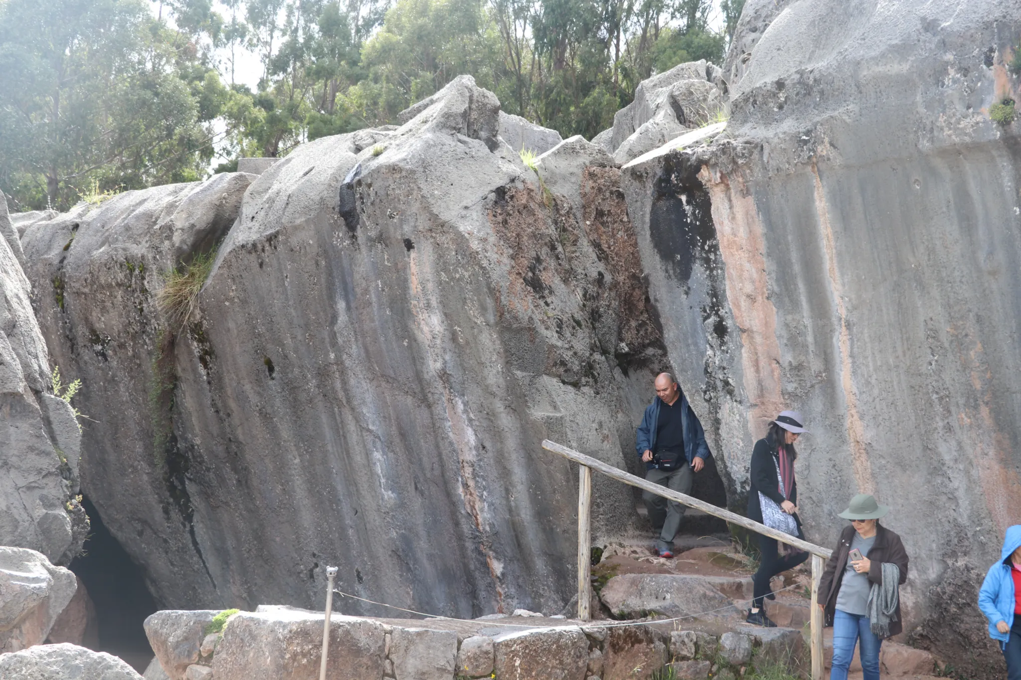
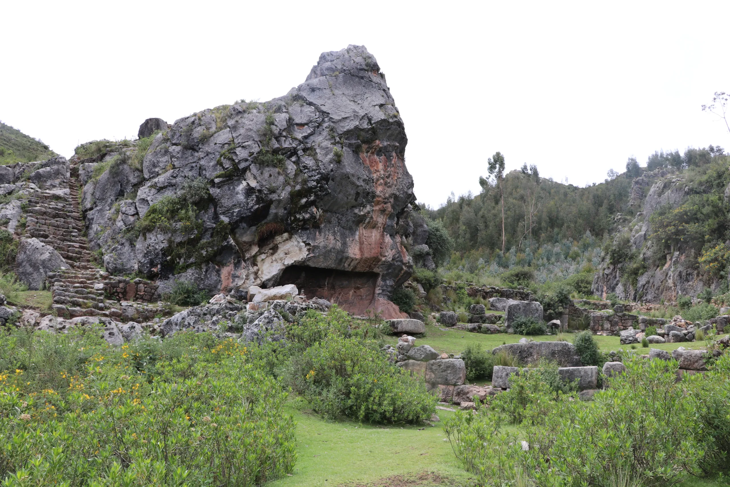
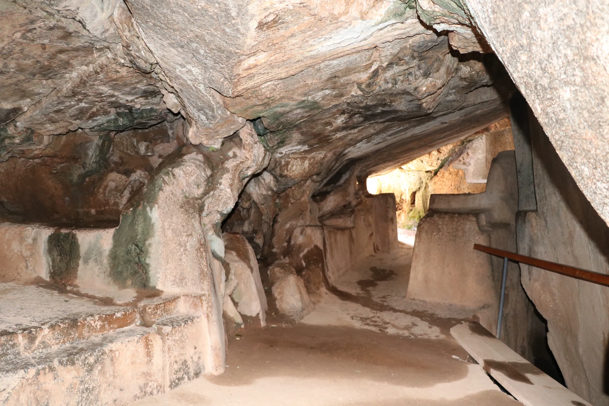
- Q’enqo’s ceremonial channels demonstrating hydraulic genius.
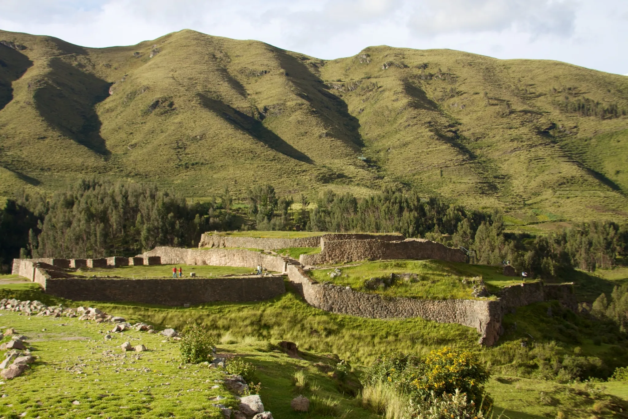
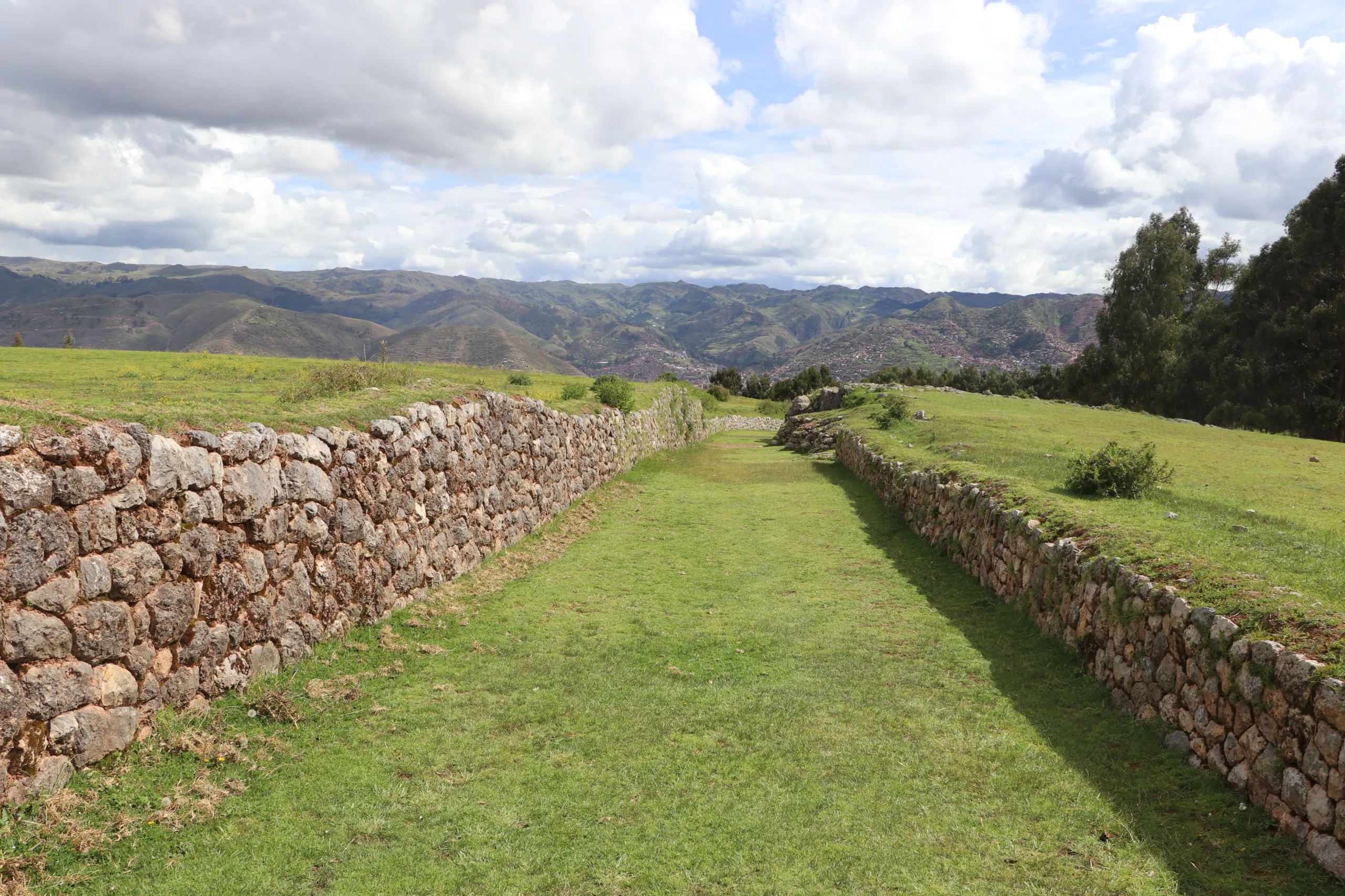
- Pucapucara’s strategic sightlines revealing military intelligence.
- The living Inca Trail’s enduring infrastructure lessons.
- Hidden oracles where earth energies concentrate.
- Panoramic viewpoints that served as ancient observatories.

Cusco sites
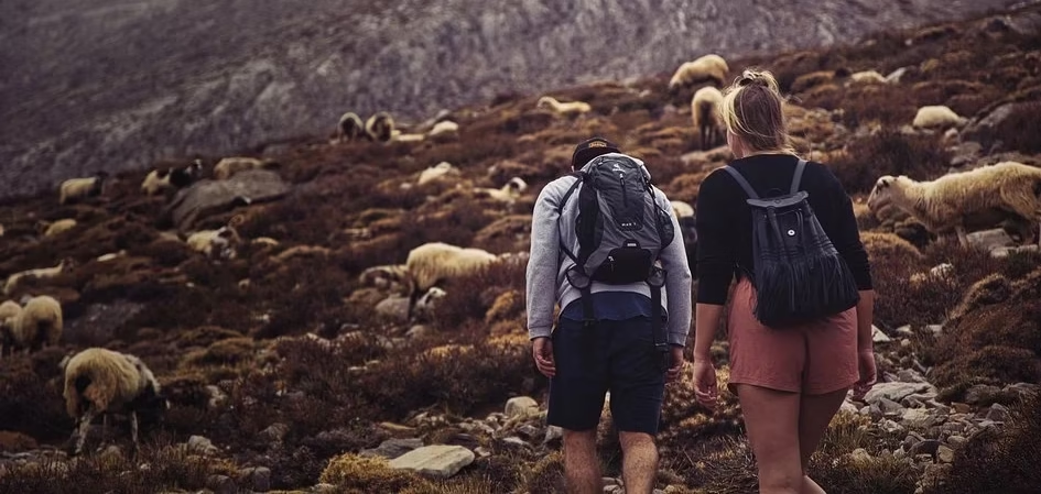
What distinguishes this program from the half-day City Tour is depth and movement. Eight hours instead of five. Twelve kilometers on foot instead of a primarily vehicle-based visit. A section of original Inka trail that transforms the archaeological circuit into a physical encounter with the civilization’s most enduring infrastructure. Lunch in nature at a lesser-visited site that most Cusco visitors never find.
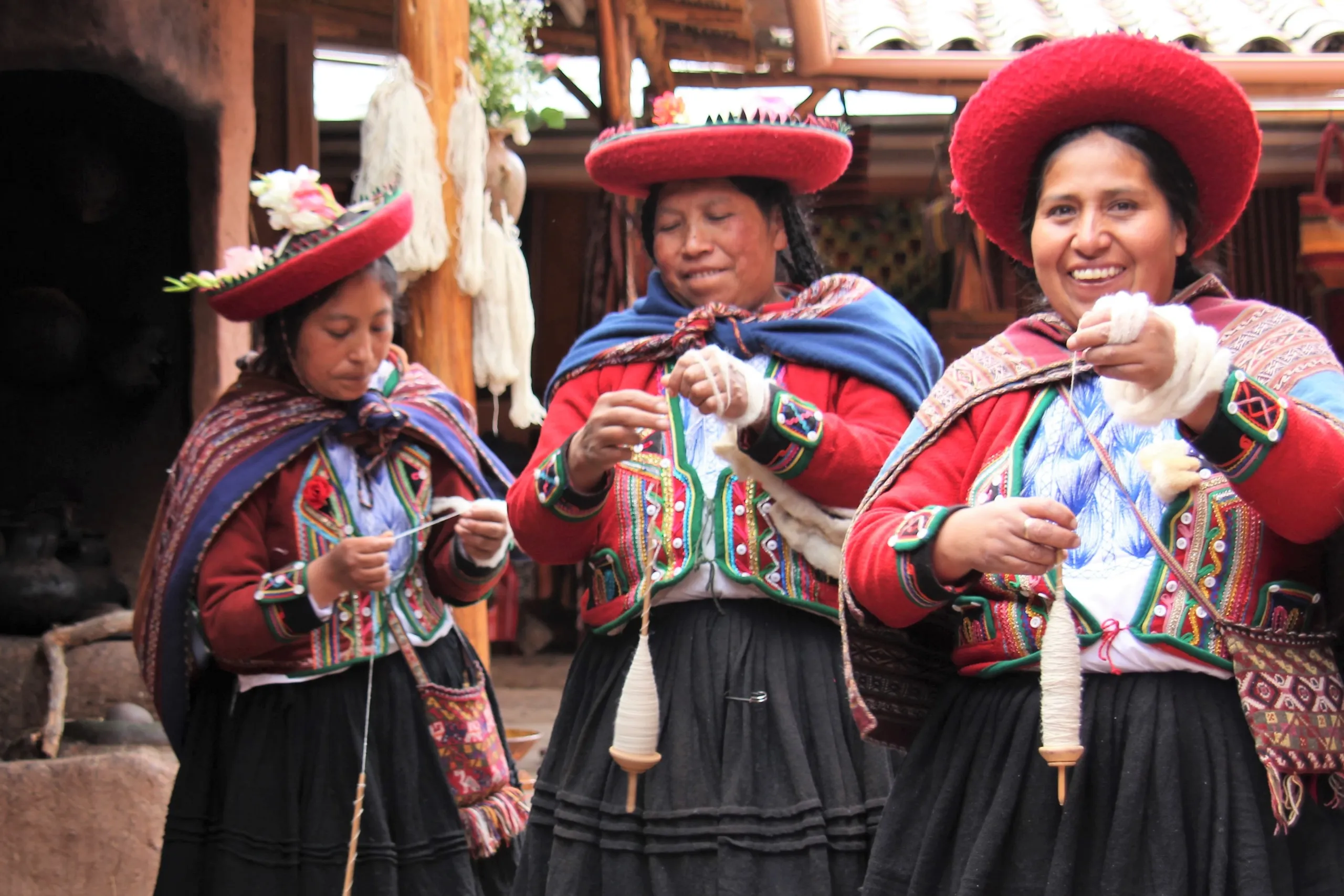
The Inka method guide does not narrate facts. They decode a city whose stones encode astronomical knowledge, seismic engineering, hydraulic intelligence, and cosmological understanding in a unified system that contemporary science has not fully replicated — and whose solutions to the challenges of sustainable living, community organization, and human relationship with the natural world remain, quietly and stubbornly, more relevant than anything built since.
Dare to be part of a new version of your holiday, therapeutic tourism to awaken the light of consciousness.


Reviews
There are no reviews yet.