


The Mountain That Decides
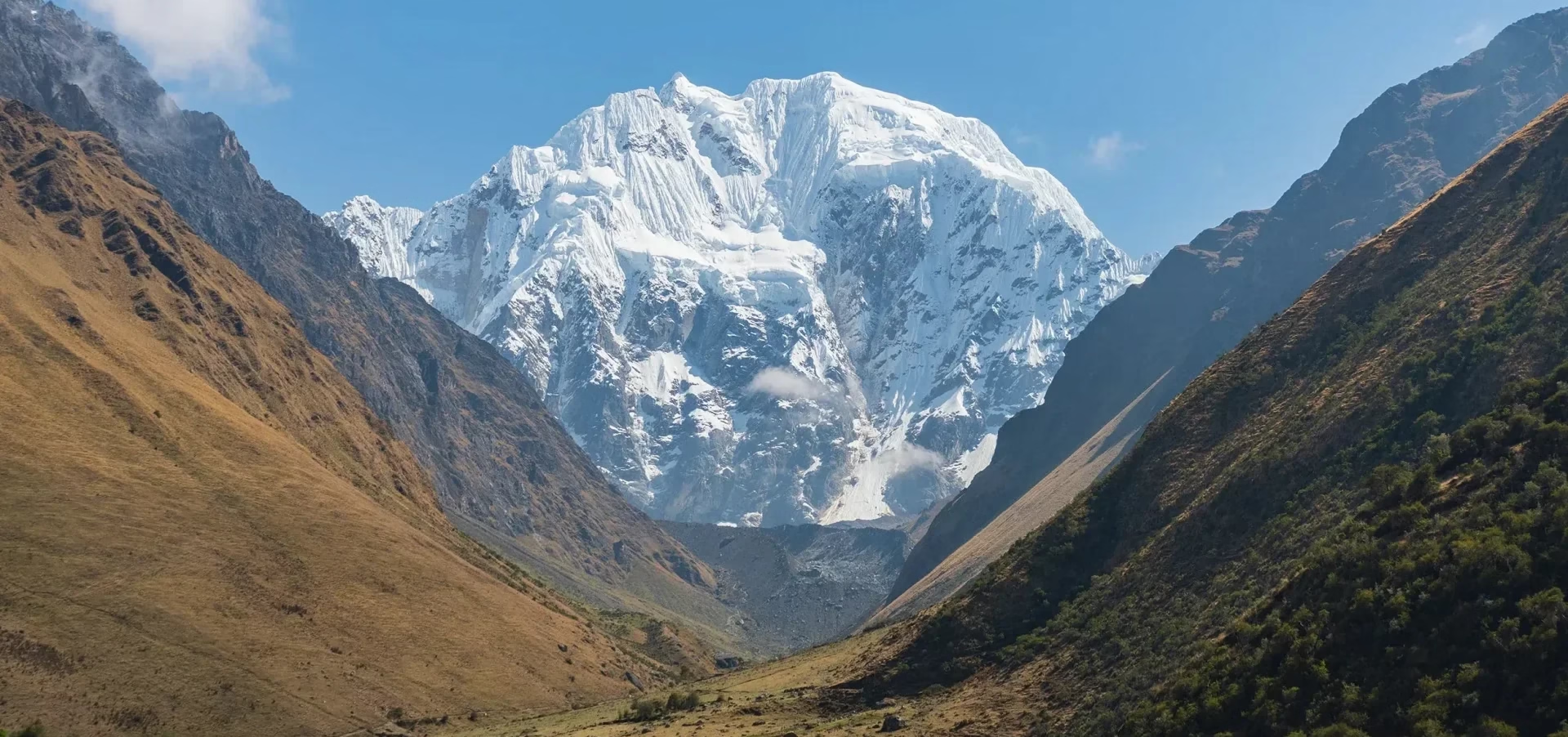
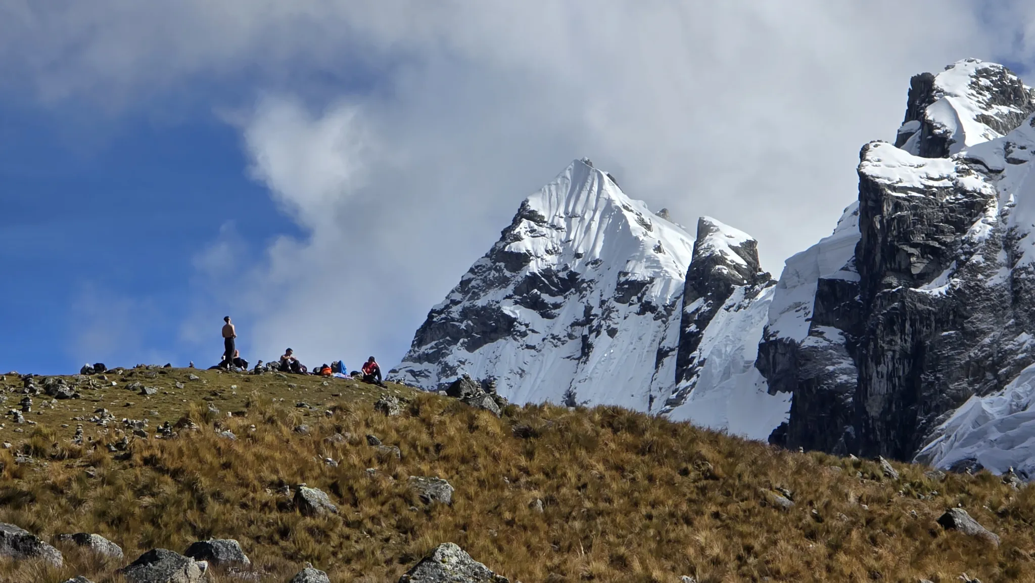
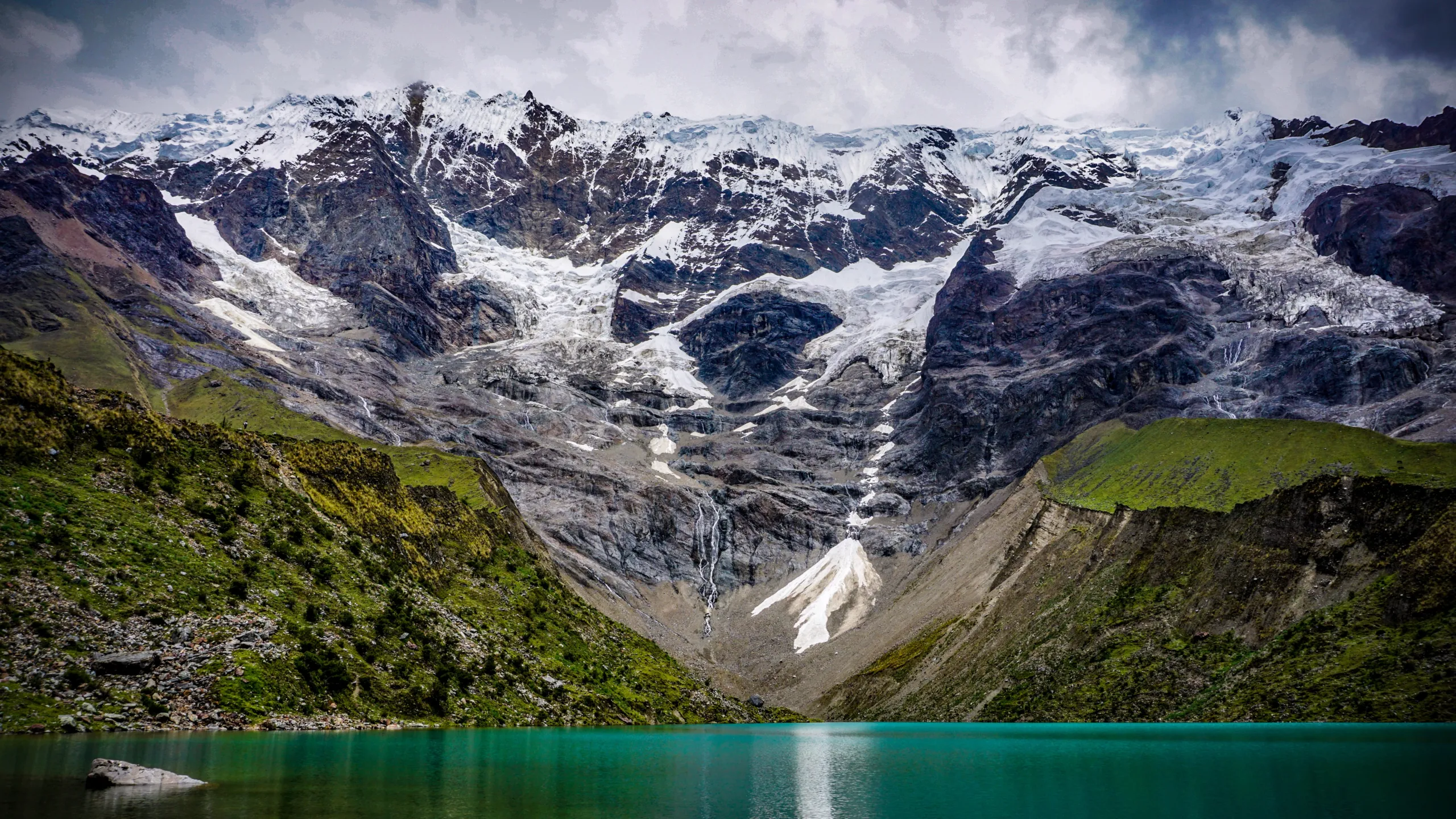
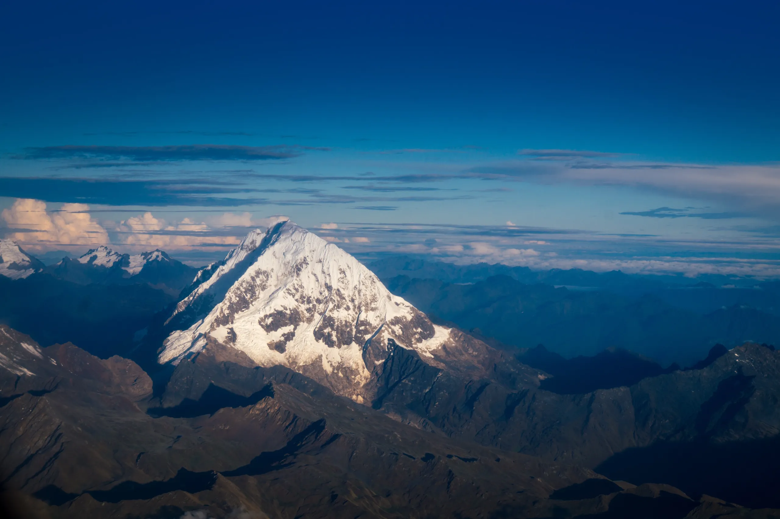
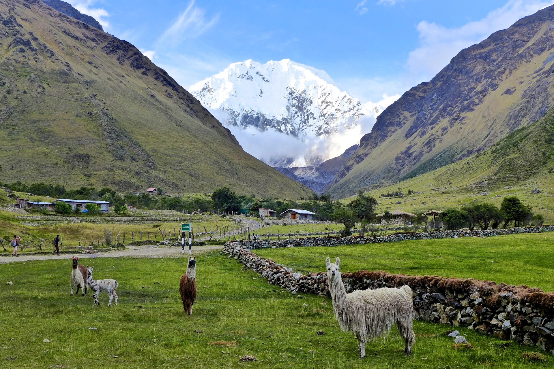
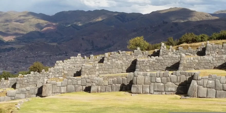
In Andean cosmology, Salkantay is not a mountain. It is an Apu — a living deity, one of the most powerful in the Inka pantheon, whose name translates directly as the savage or the untamed. The communities of the Cusco highlands have made offerings to Salkantay for centuries, not as ritual performance but as genuine acknowledgment that this peak at 6,271m / 20,574ft governs the weather, the water, and the agricultural fate of everything in its shadow.
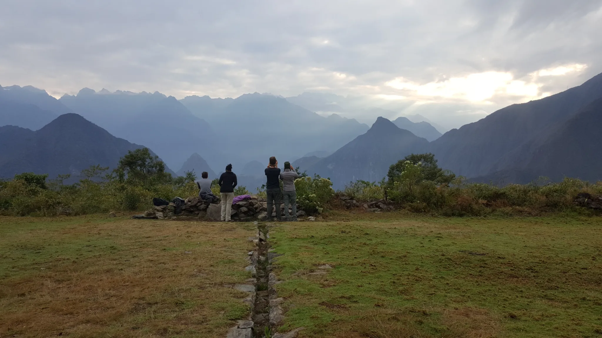
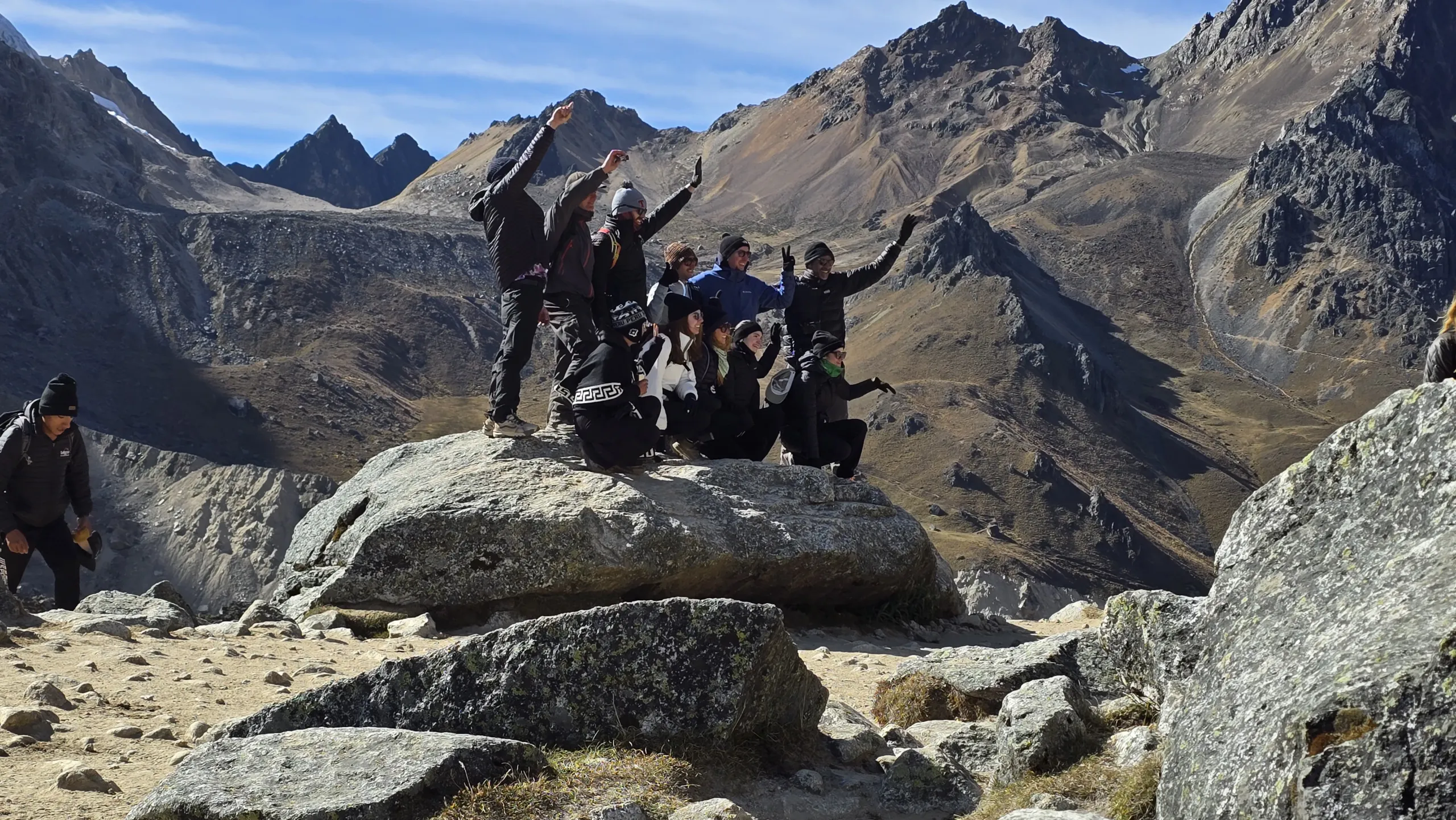
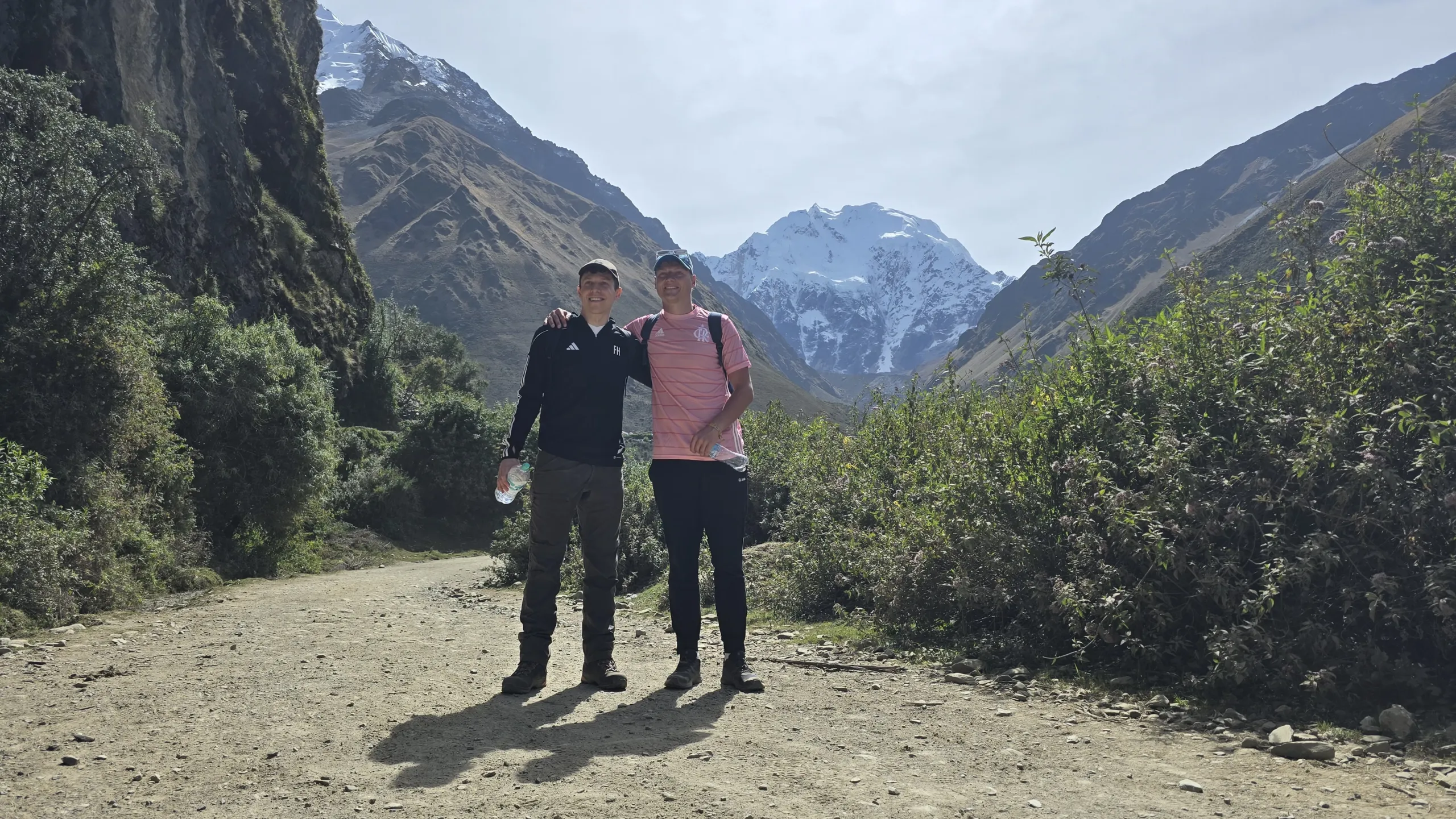
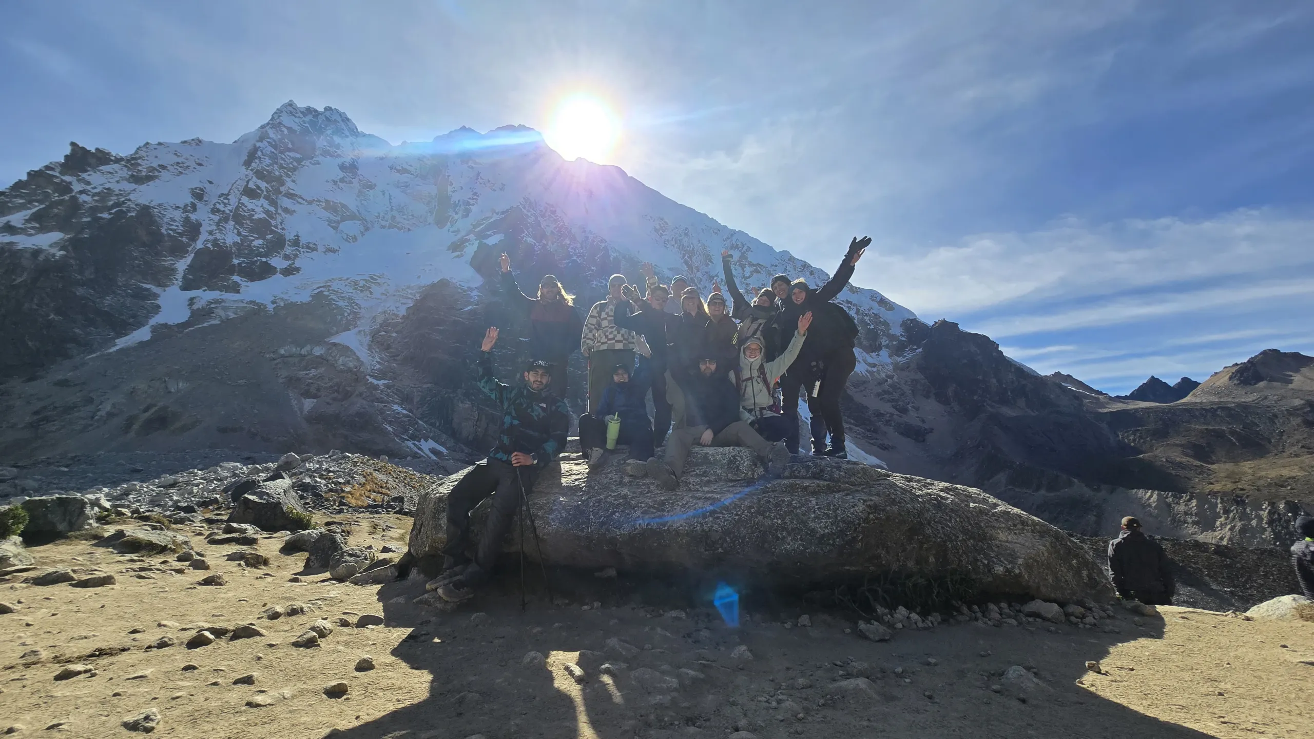
Walking through that shadow for six days does something that is difficult to explain before the experience and impossible to forget afterward.
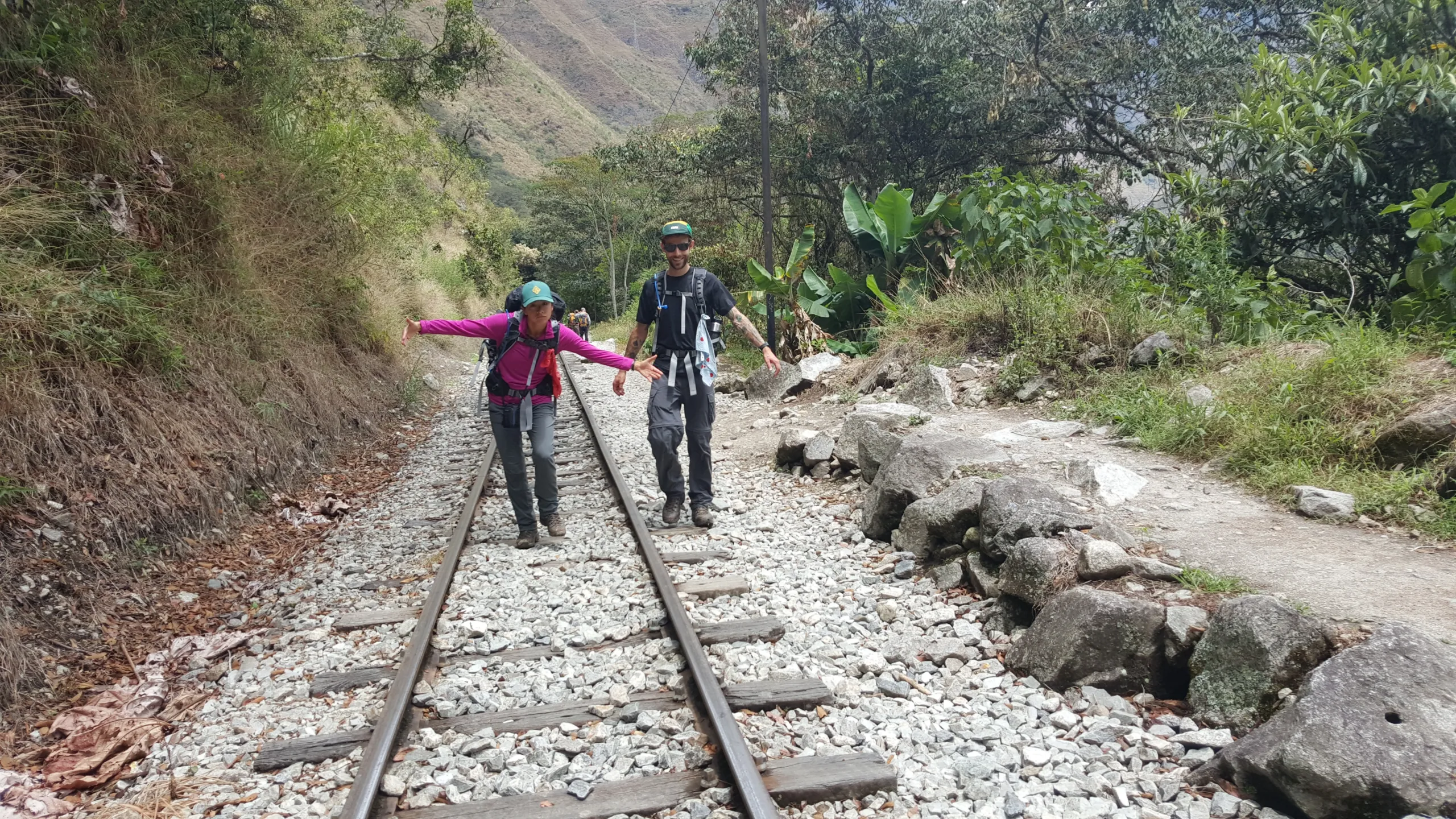
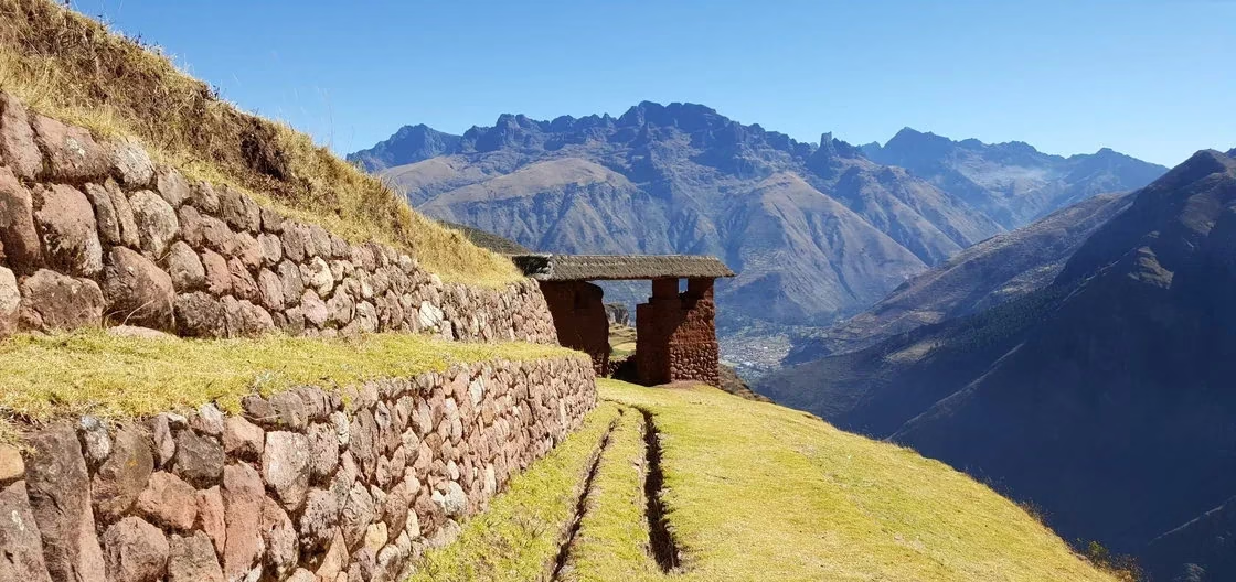
The Salkantay Trek is the most complete Andean journey that exists within reach of Cusco — a continuous traverse from high alpine glacier country through cloud forest, subtropical valley, coffee plantation, and original Inka trail to a viewpoint above Machu Picchu, covering more ecological zones, more altitude variation, and more sheer landscape diversity than any other route in the region. It does not require a permit. It does not follow a corridor. It moves through the full range of what the Andes actually contains.
6 Awesome attractions of Salkantay
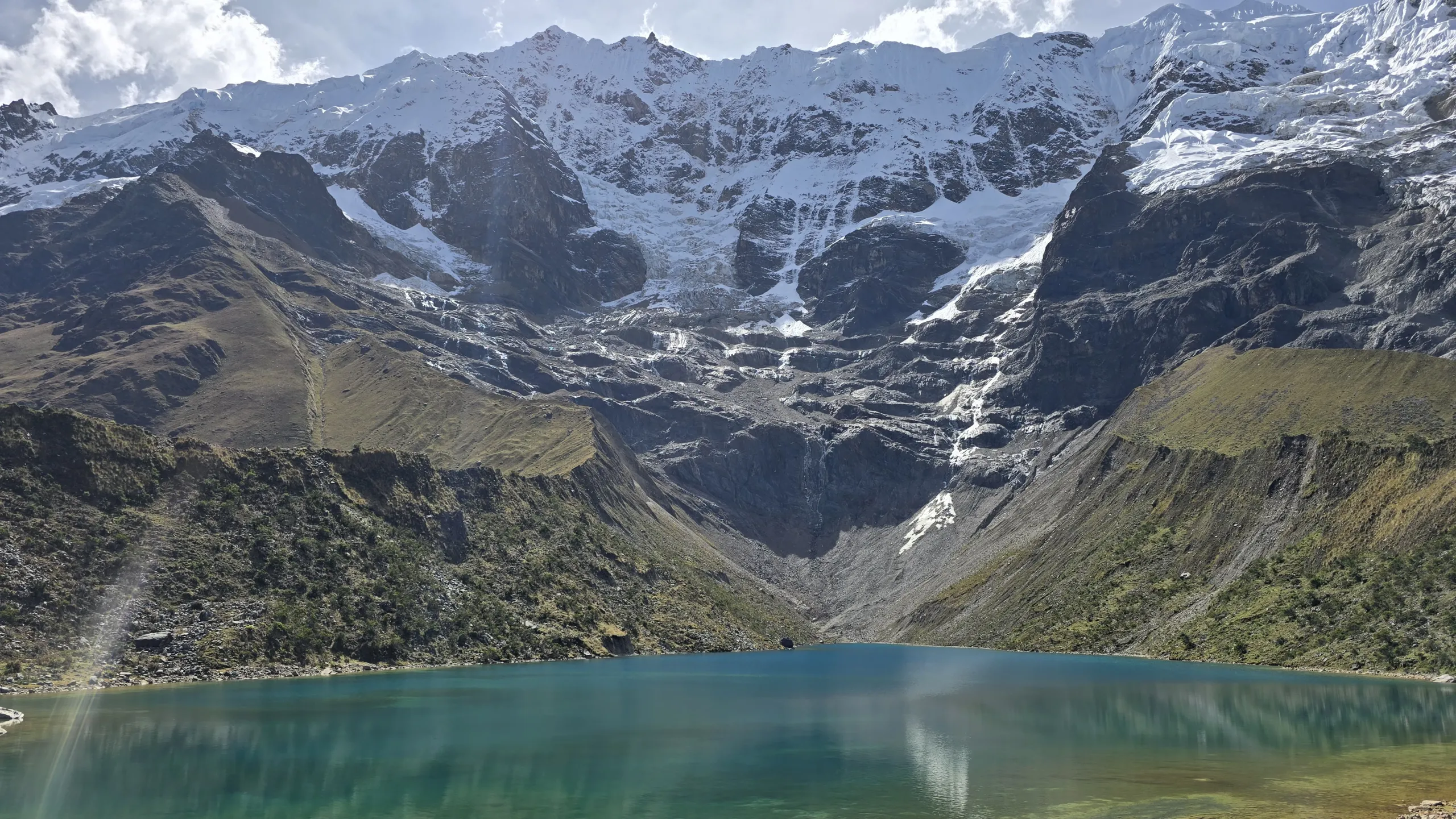
# Salkantay mountain & other glaciers
# Humantay lake
# View point of Condors
# Cocalmayo hot springs
# Llactapata
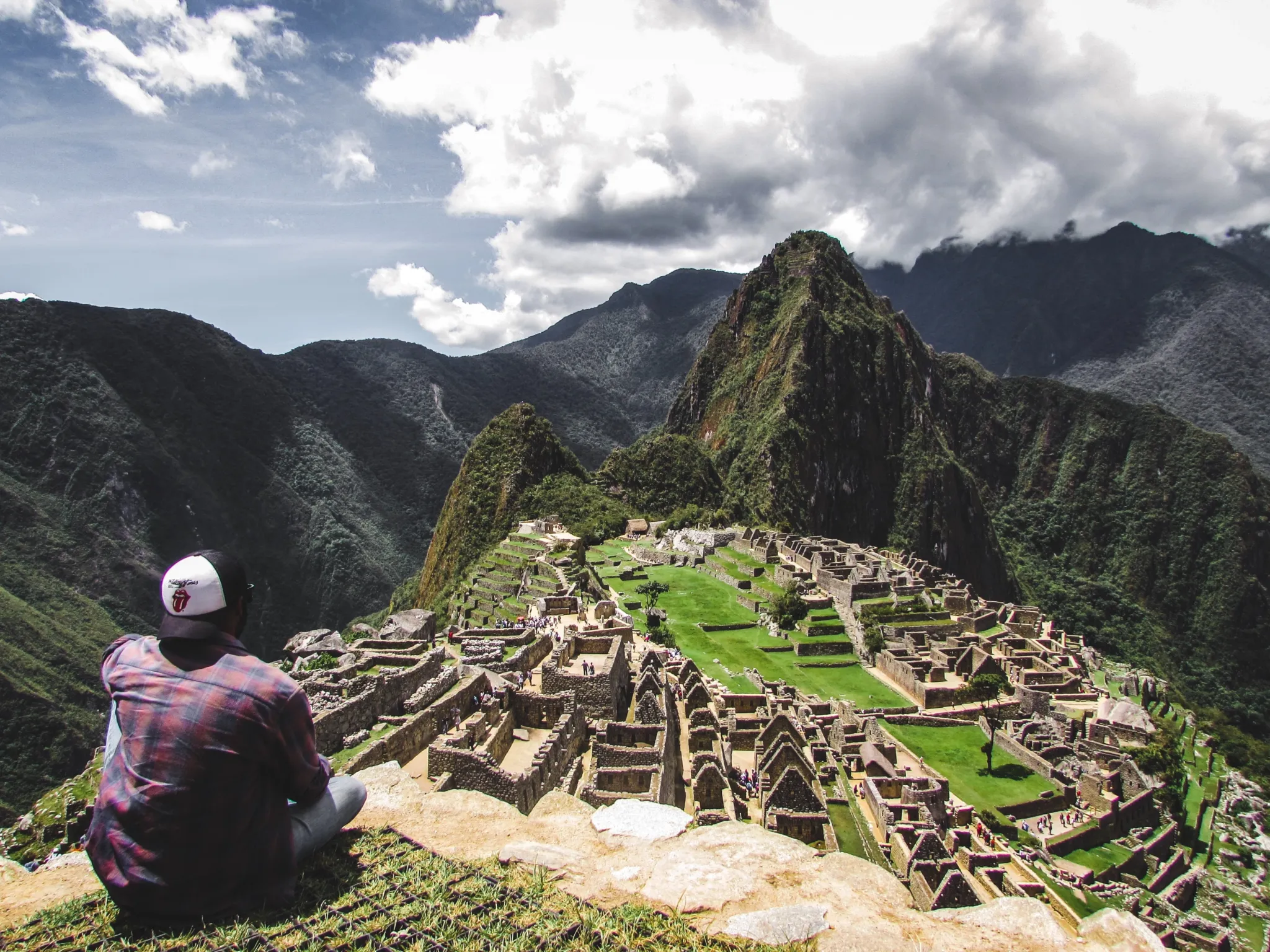
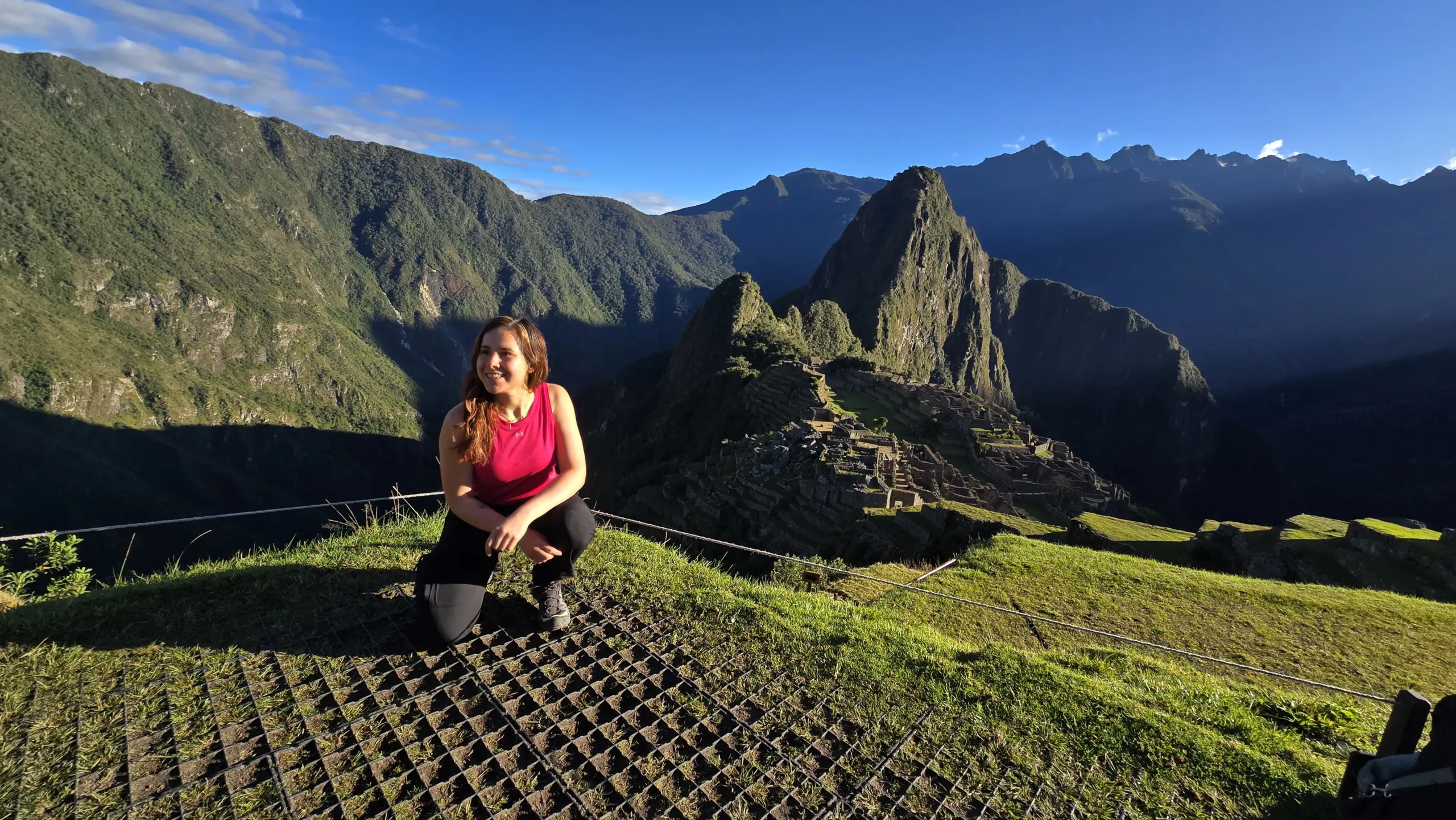
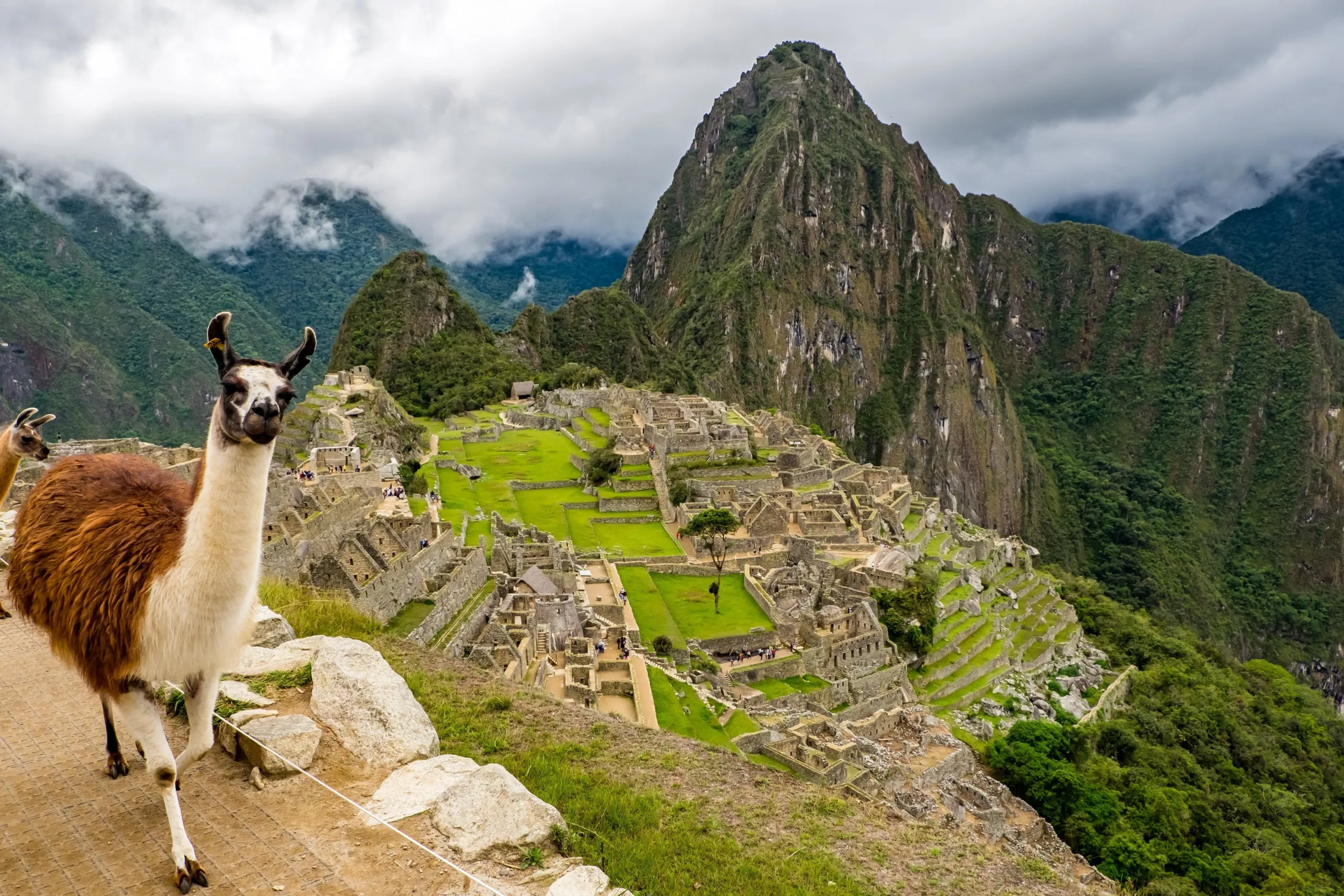
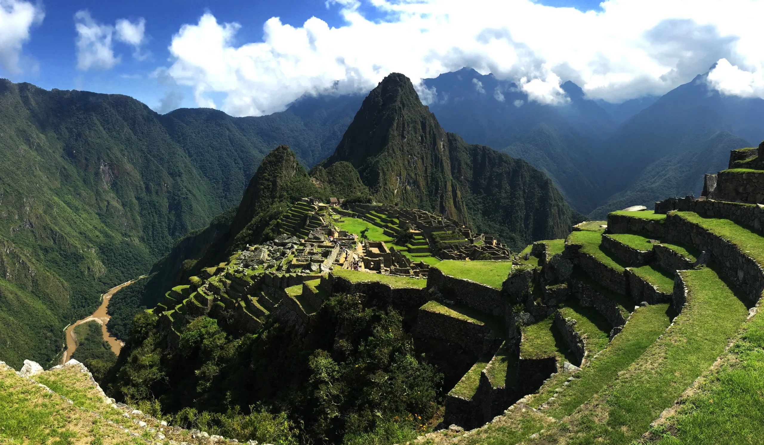
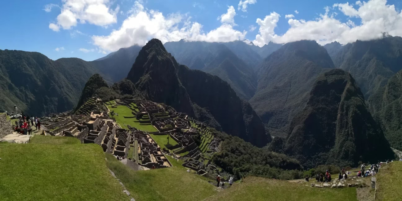
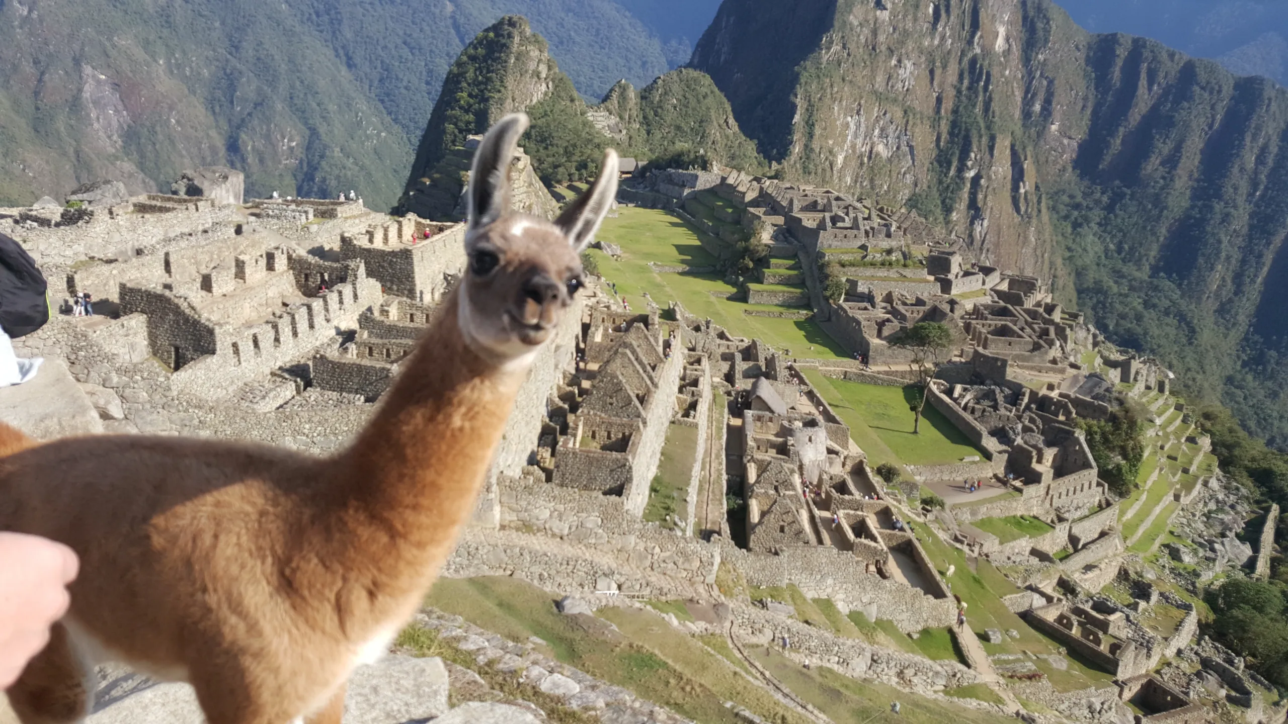
# Machupicchu

Salkantay trek
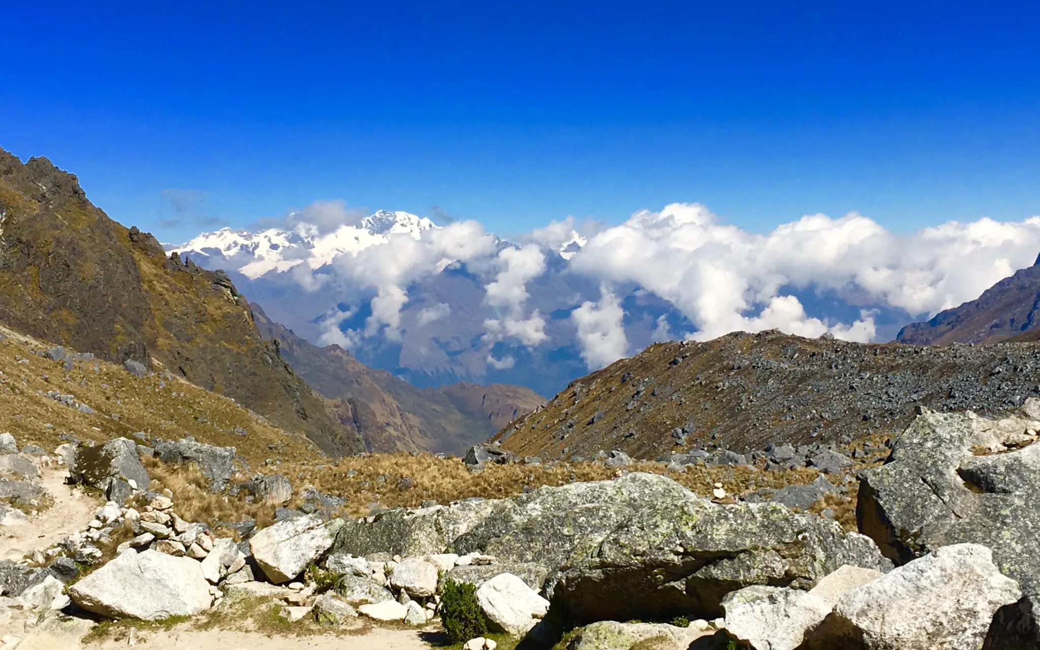
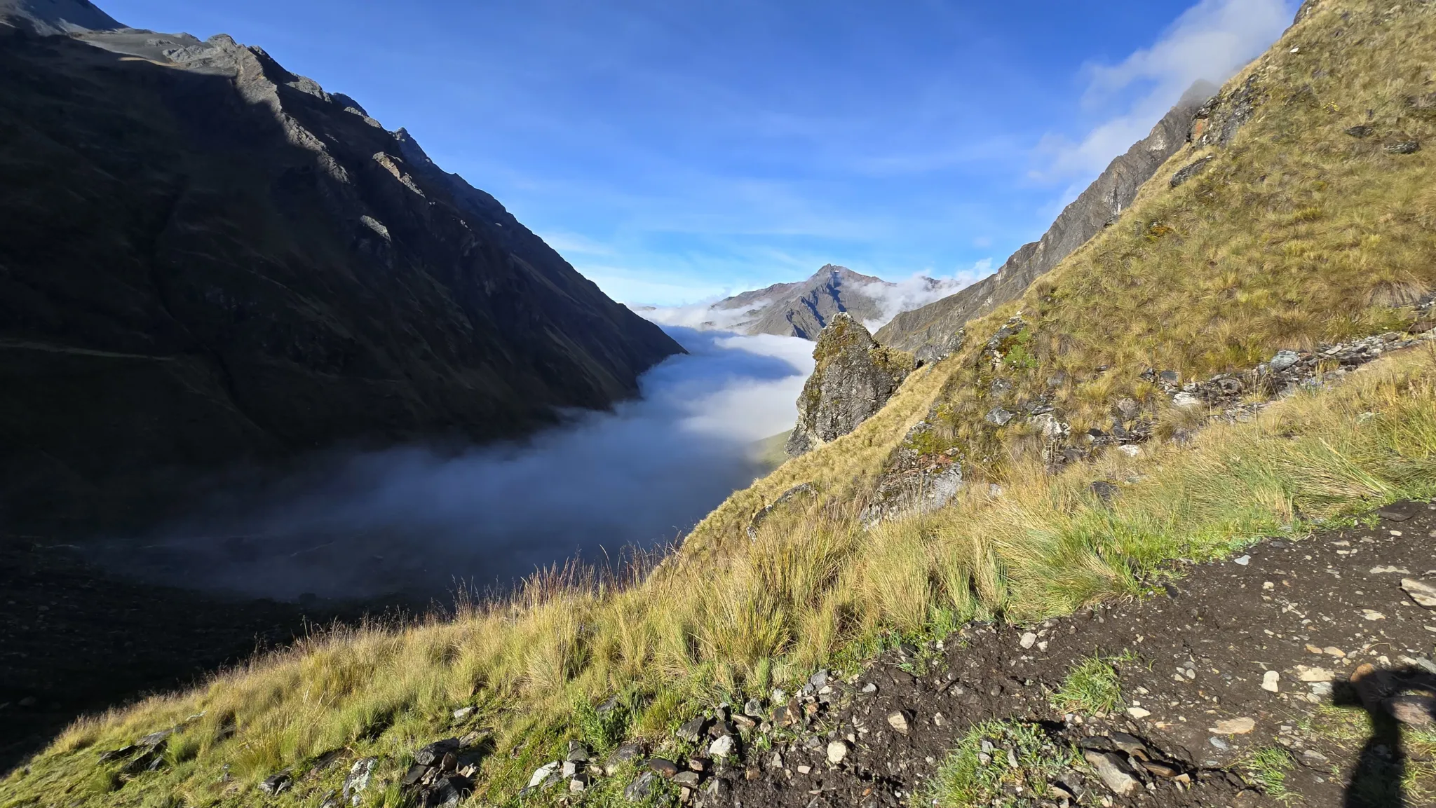
Six Zones. One Continuous Descent Through the Living Andes.
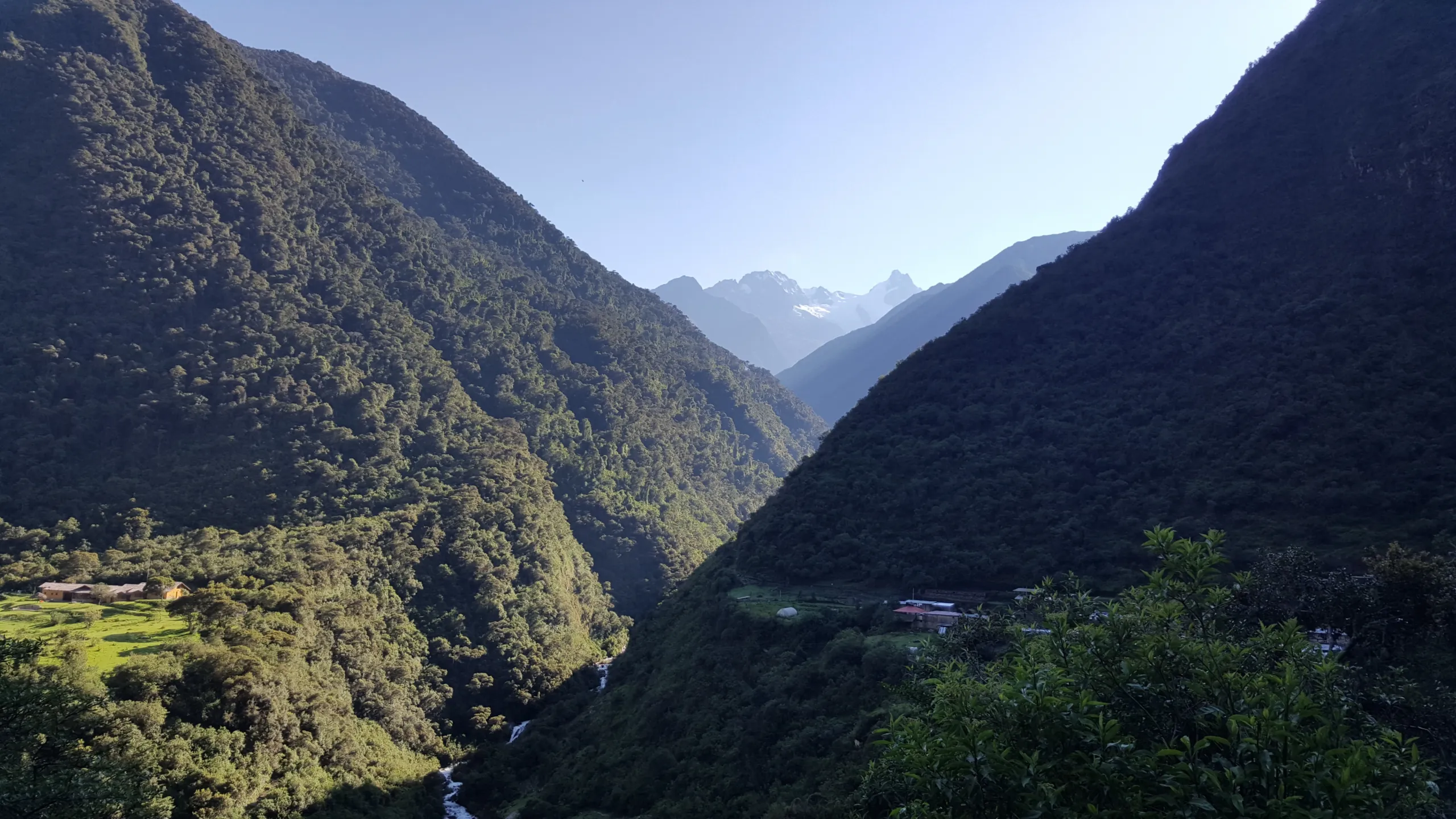
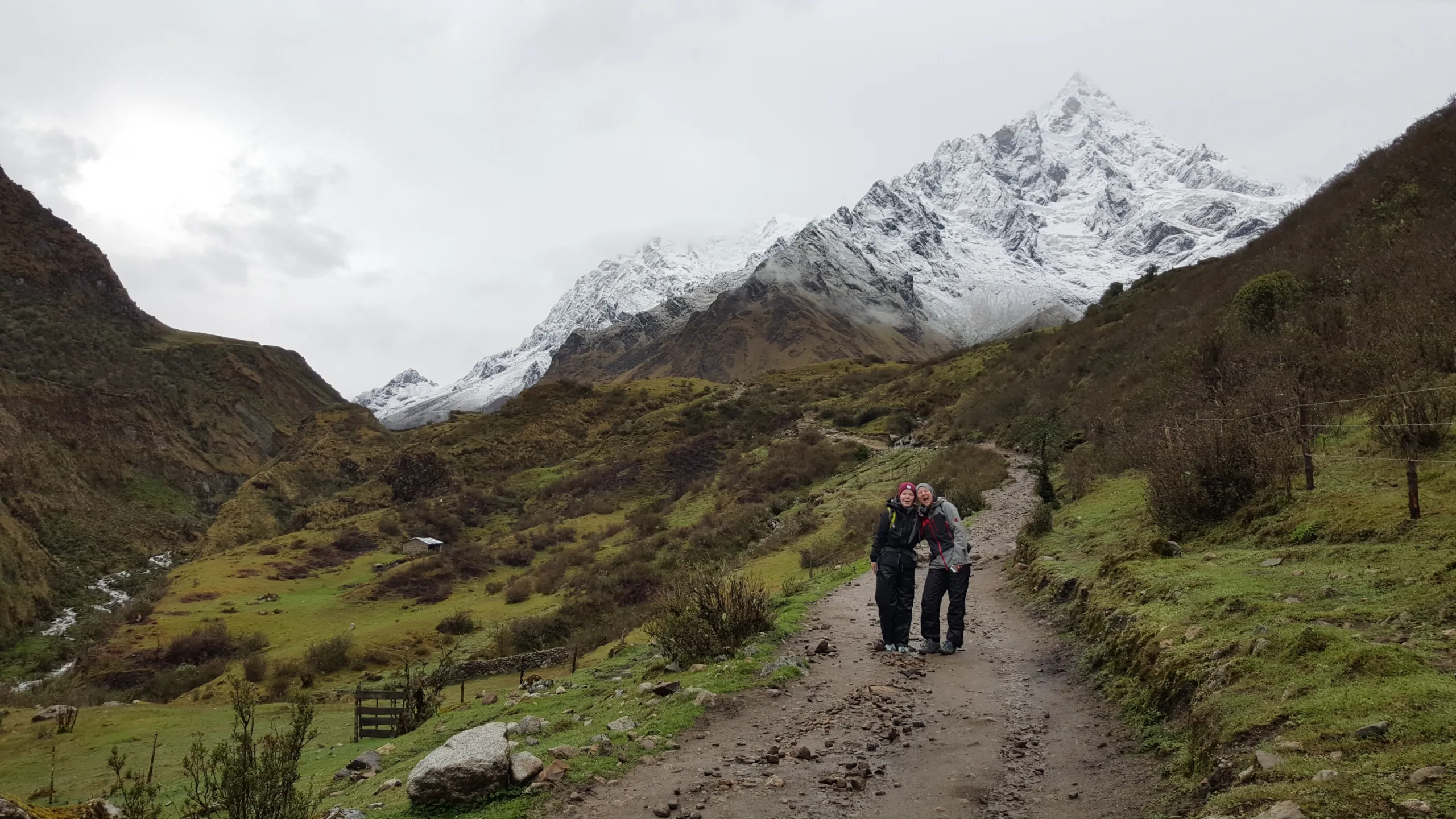
The trek’s therapeutic architecture is built into its geography. Each day descends through a different world — the altitude dropping, the air thickening, the vegetation transforming, the temperature rising — so that by the time the coffee valley of Lucmabamba appears on Day 4, the glacier pass of Day 2 feels like a different lifetime. That compression of landscape and experience into six days produces a recalibration of perspective that no single-environment retreat can replicate.
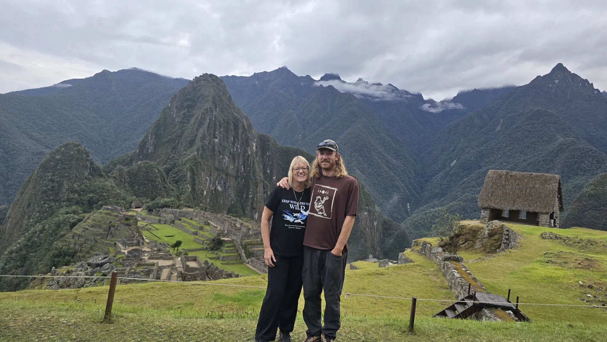
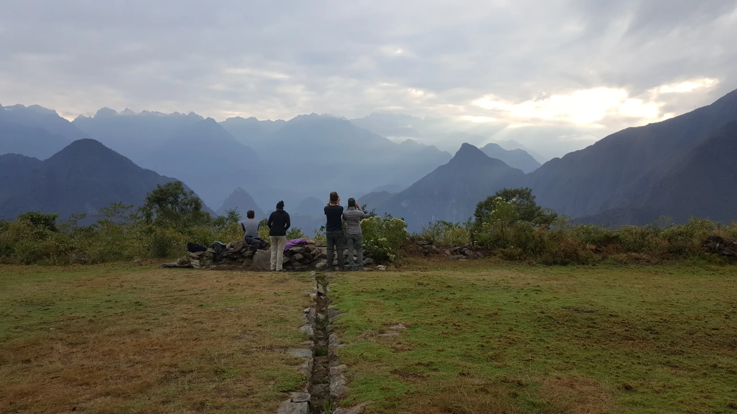
The last challenge will be to get to Llactapata to have the first view of Machupicchu and the paradisiacal geography that surrounds the wonder of the world, a night in this place will make us dream of our visit to Machupicchu.
When we arrive in Machupicchu, we will already have had some nature therapy and pleasant memories. The Inka method framework moves through this transformation with you — reading the condor viewpoint, the Humantay lagoon, the Salkantay pass, the cloud forest descent, the thermal springs, the zip-line crossing, and the Llactapata approach to Machu Picchu not as attractions but as a sequential therapeutic landscape, each element chosen by the Inka for reasons that your guide will make legible as you move through them.


Reviews
There are no reviews yet.