Choquequirao to Machu Picchu Expedition

Price

From: $2,247.00

Duration

10 days

Max People

10

Tour Type

Expeditions

Attractions

4

Activities

14

Min Age

12


Overview


Two Cities. One Route. No Shortcuts.

Most people choose between Choquequirao and Machu Picchu. This expedition refuses that choice.

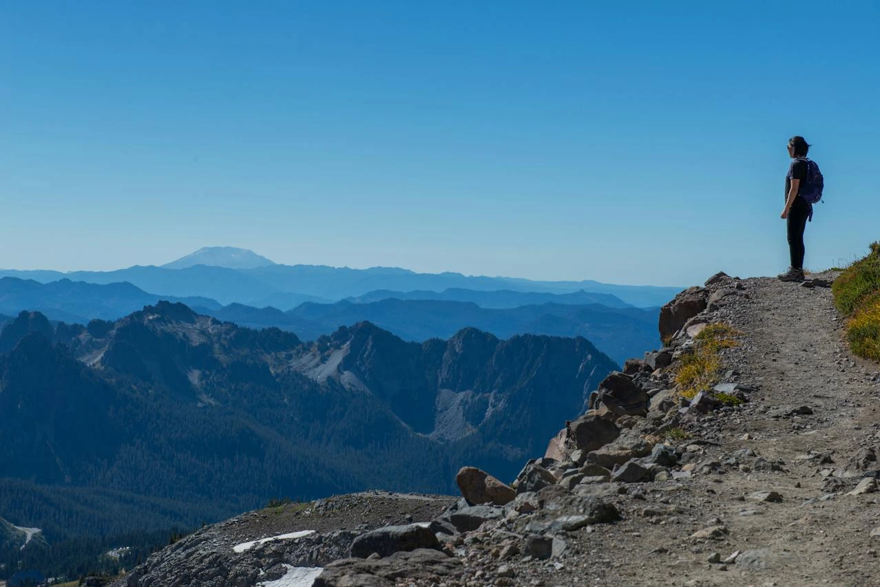
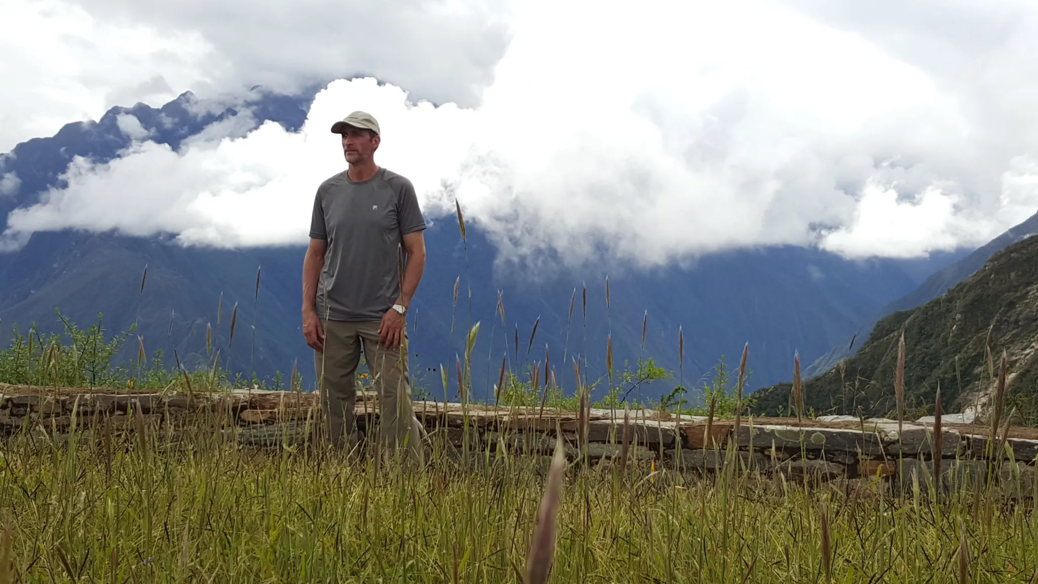
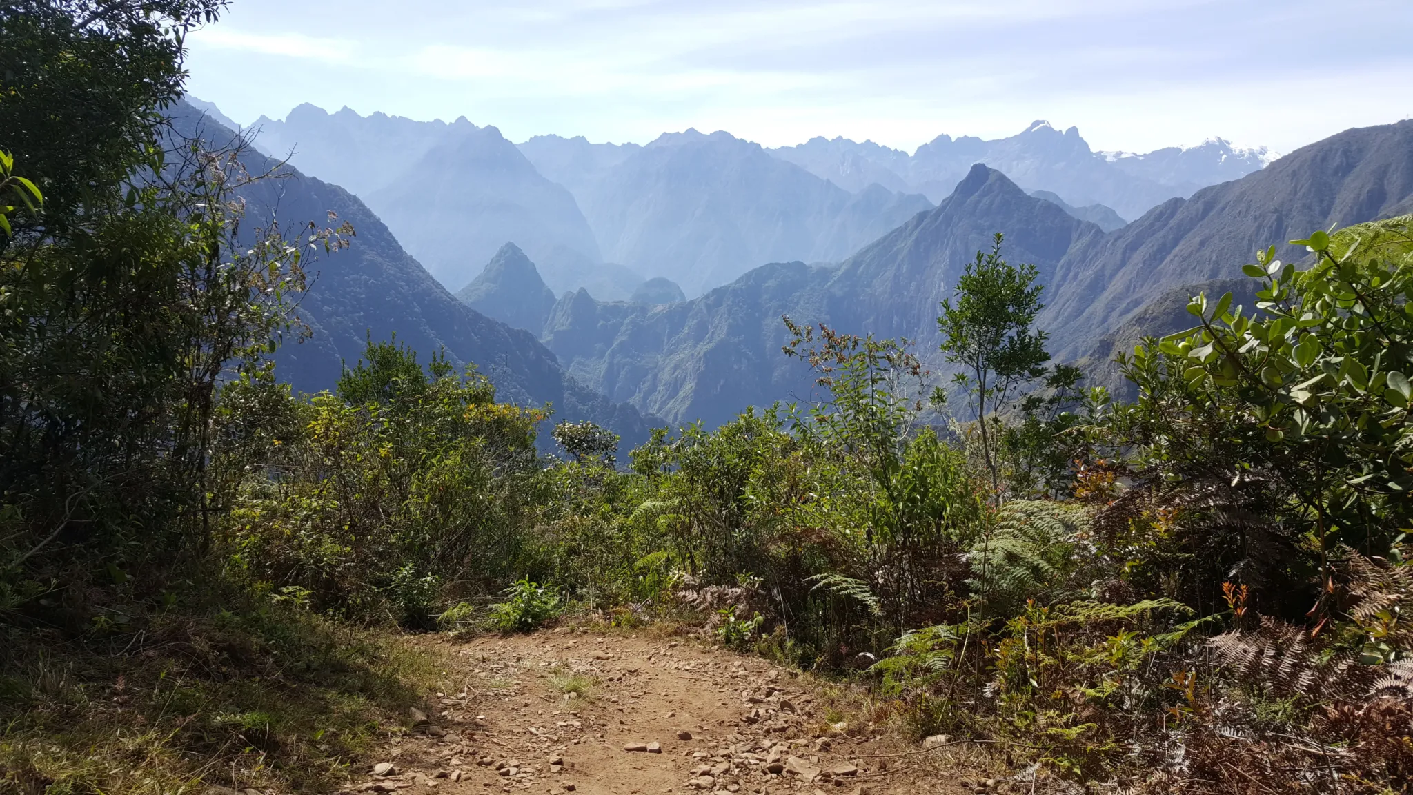
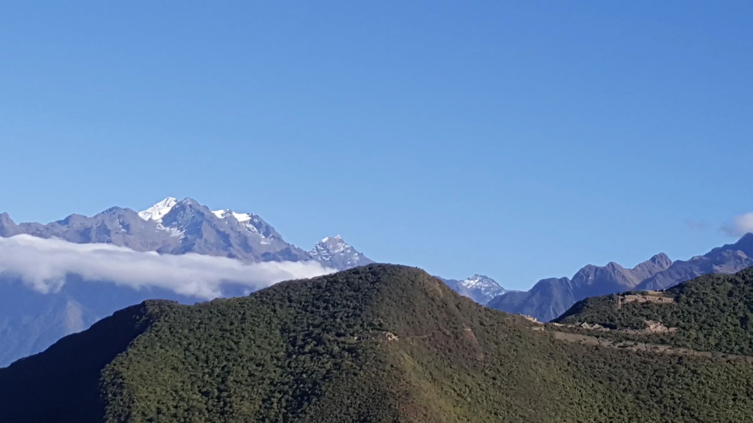
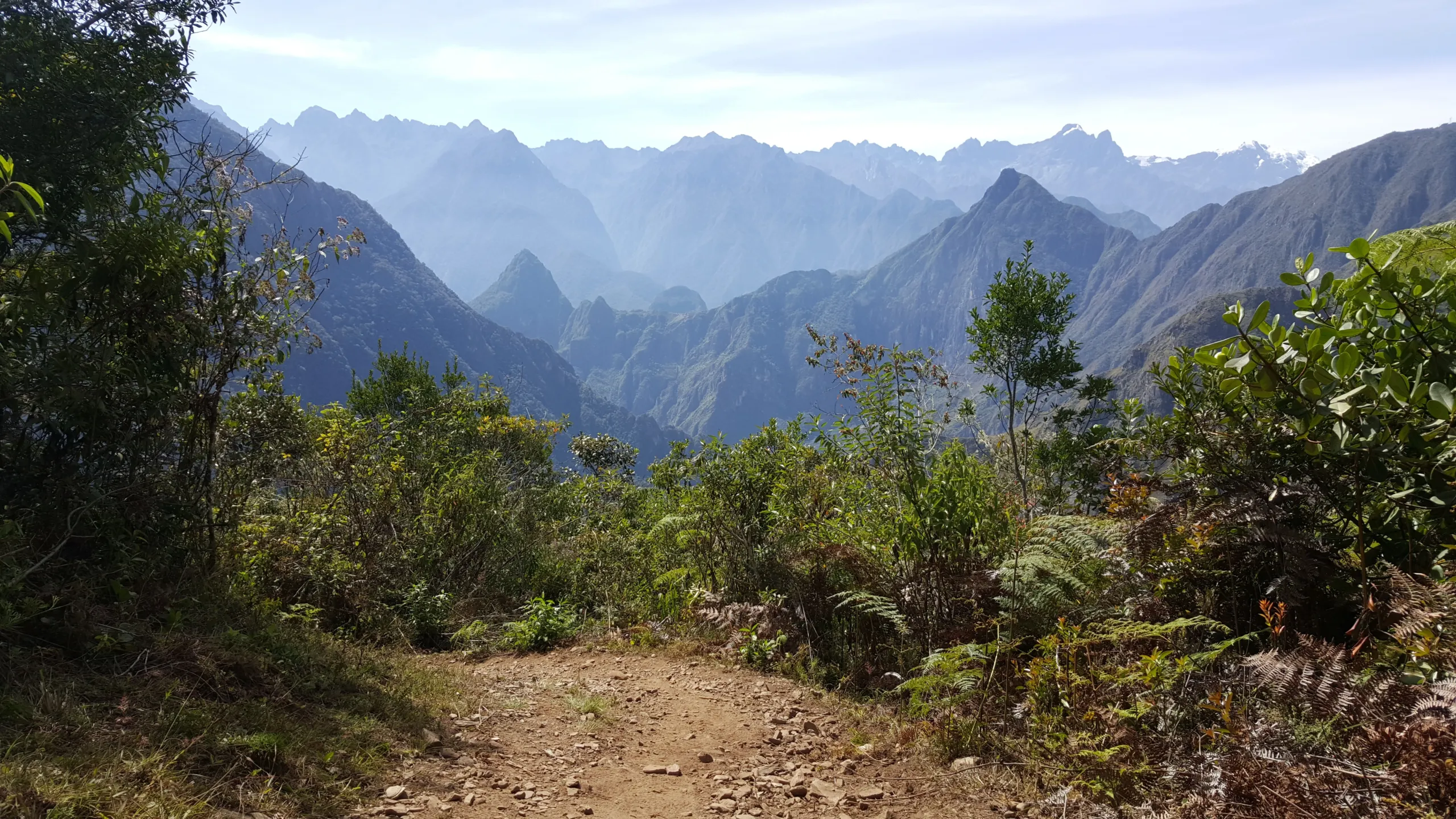
For ten days, the route connects the Andes’ two greatest Inka cities on foot — moving from the raw remoteness of Choquequirao, still 80% unexcavated and receiving a handful of visitors on any given day, through the Vilcabamba mountain range, down through cloud forest and subtropical valley, and arriving at Machu Picchu from the Llactapata ceremonial viewpoint where the citadel appears across the valley before you ever set foot inside it.

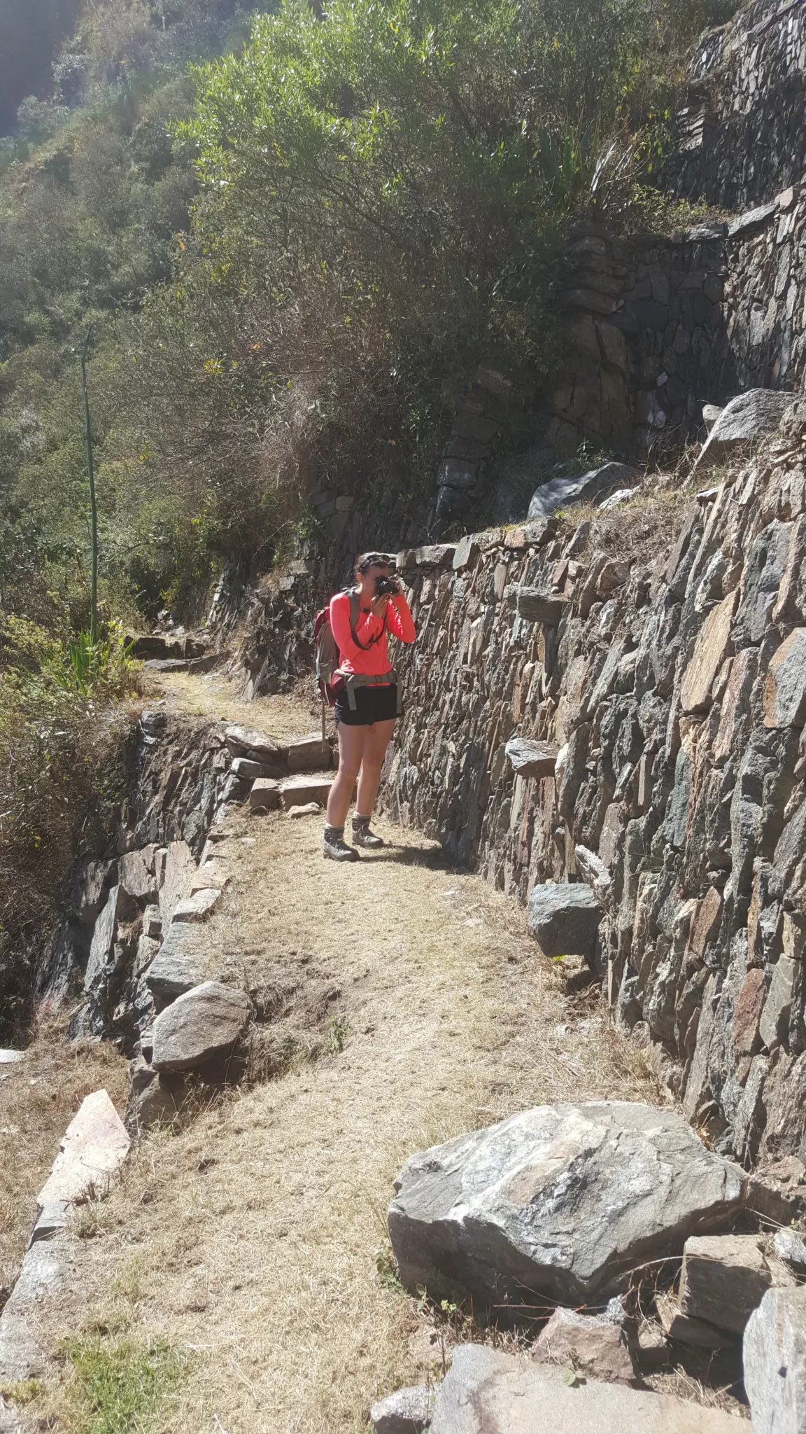
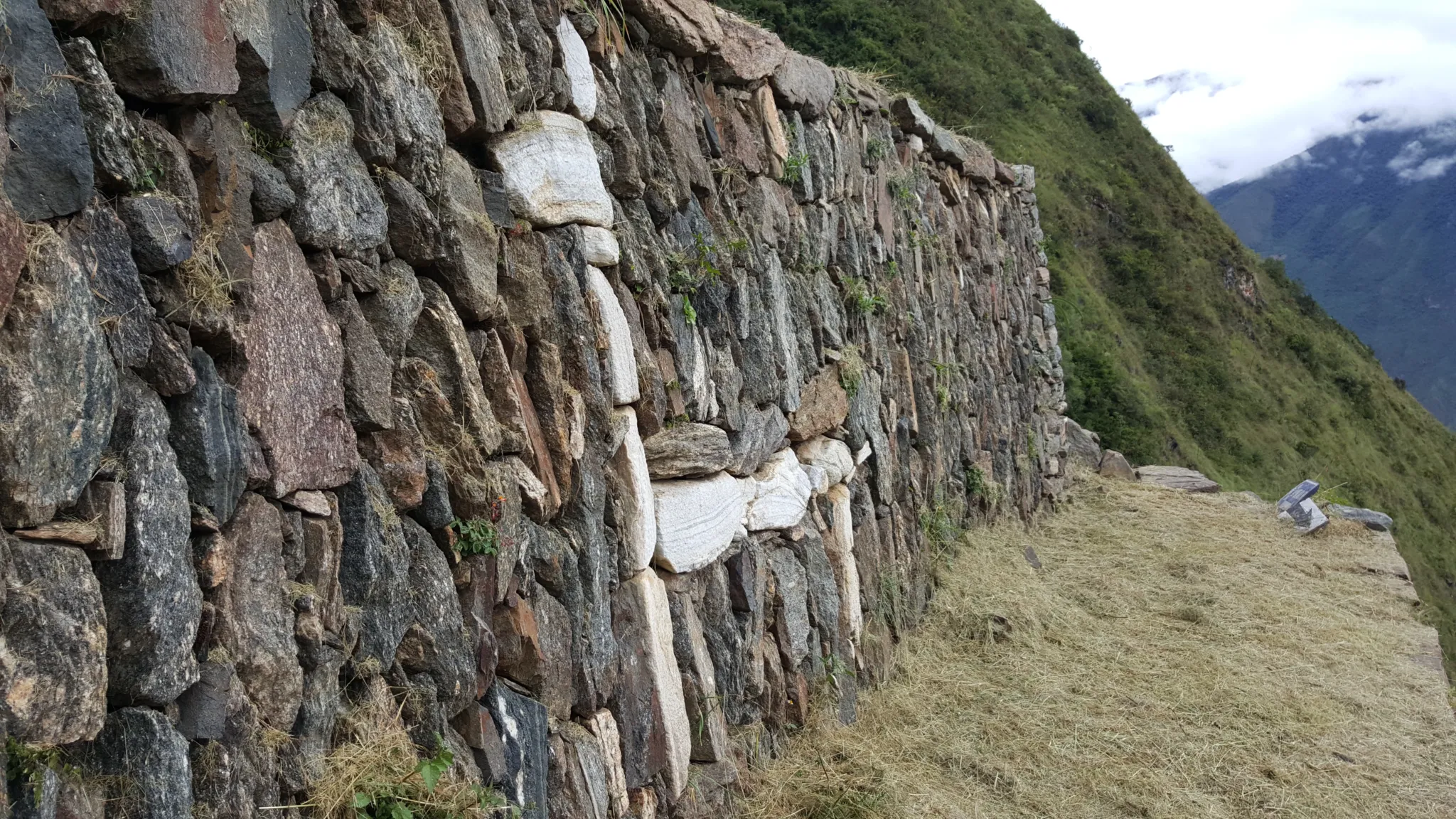
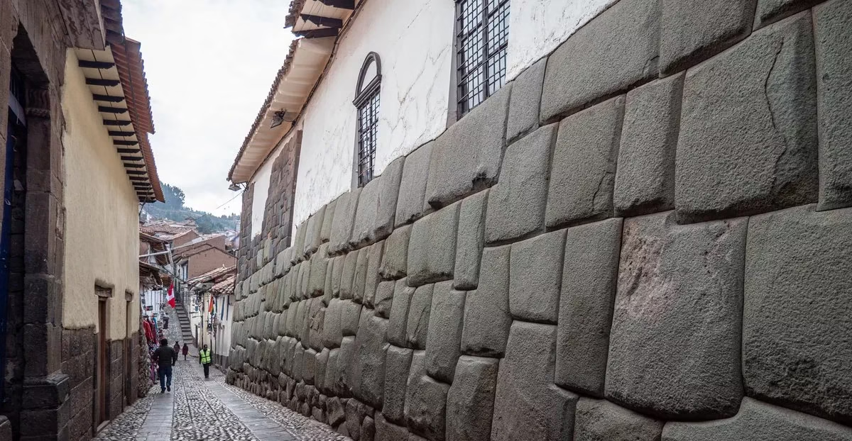
This is the route the Inka used. The trail sections are original. The logic of the journey — the way it moves through altitude zones, archaeological sites, and landscape types in a specific sequence — is not a modern trekking itinerary. It is a road that was built with intention, connecting two places that were never meant to be visited separately.


7 stonishing places

  • Capuliyoc’s eagle-eye vantage, where the Apurímac Canyon drops away beneath your boots like the earth’s own exhale.
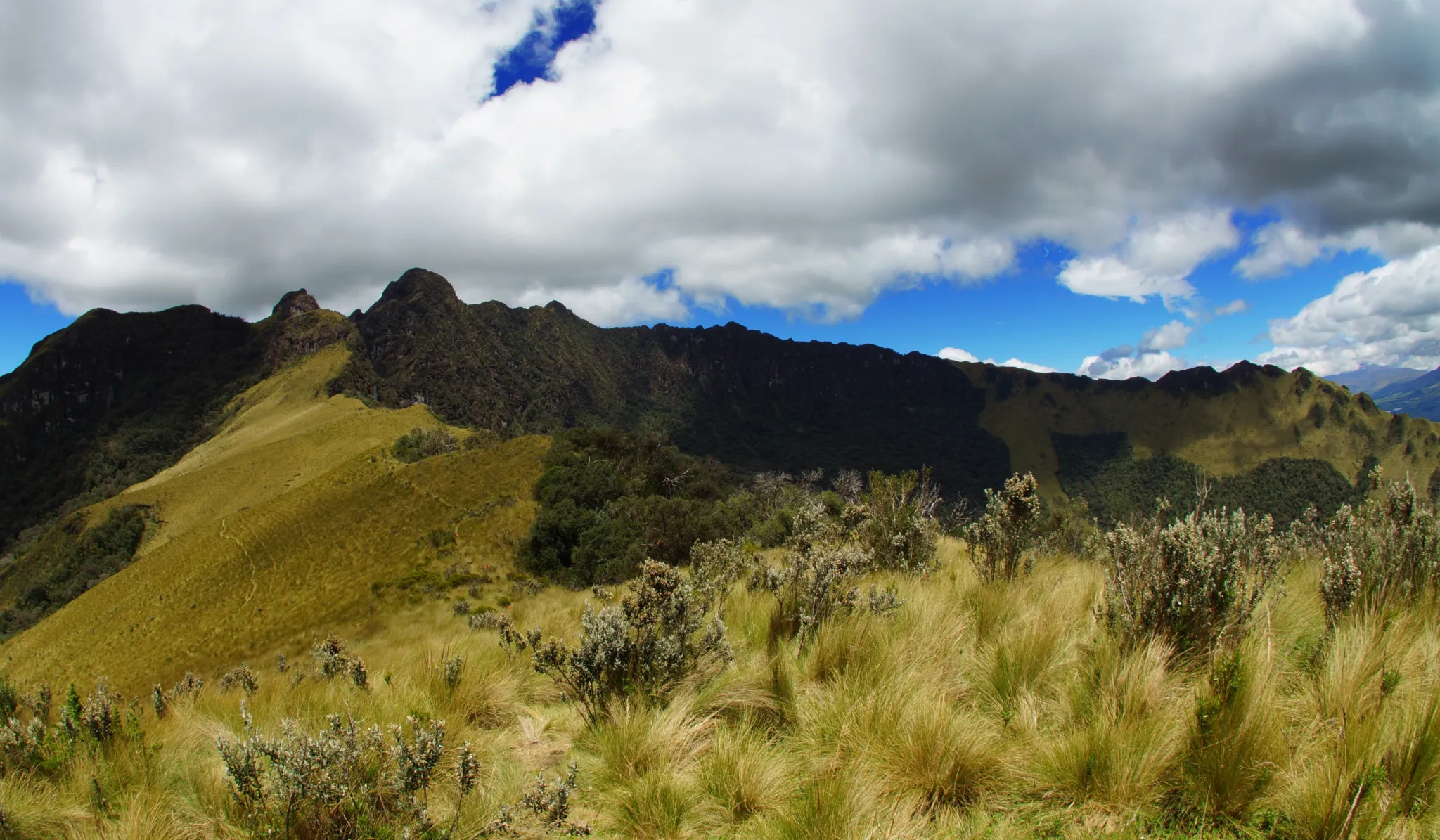
  • Maranpata’s cloud-kissed ridges, where the high jungle begins its slow reclamation of Inca ambition.
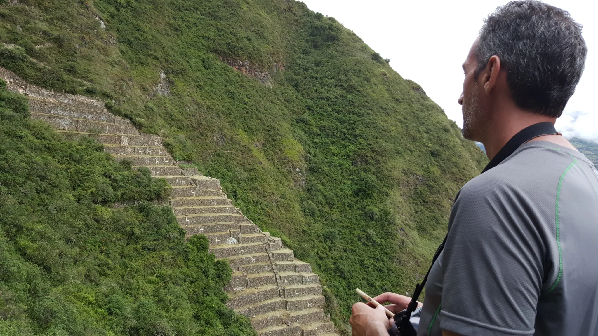
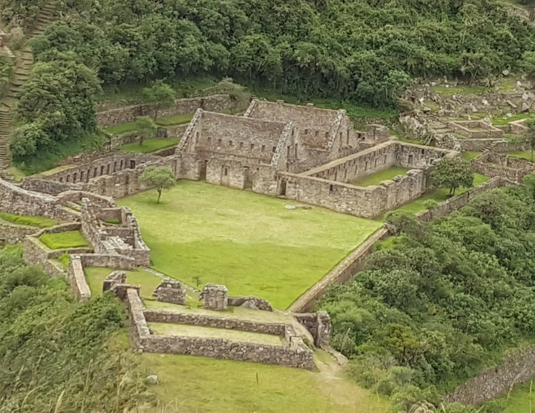
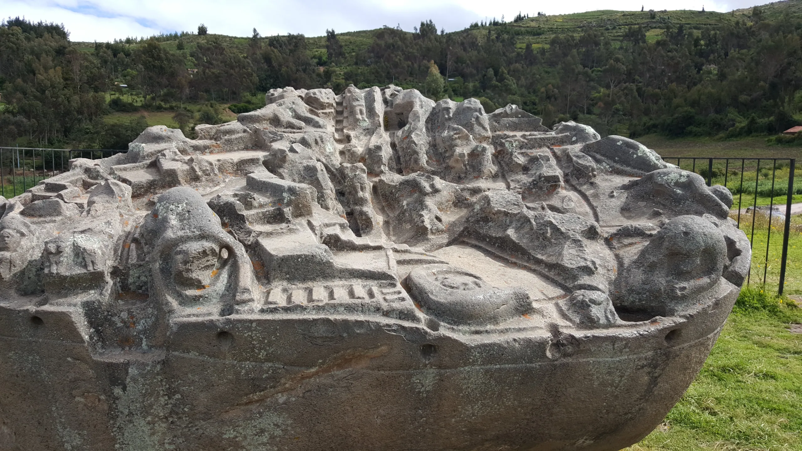
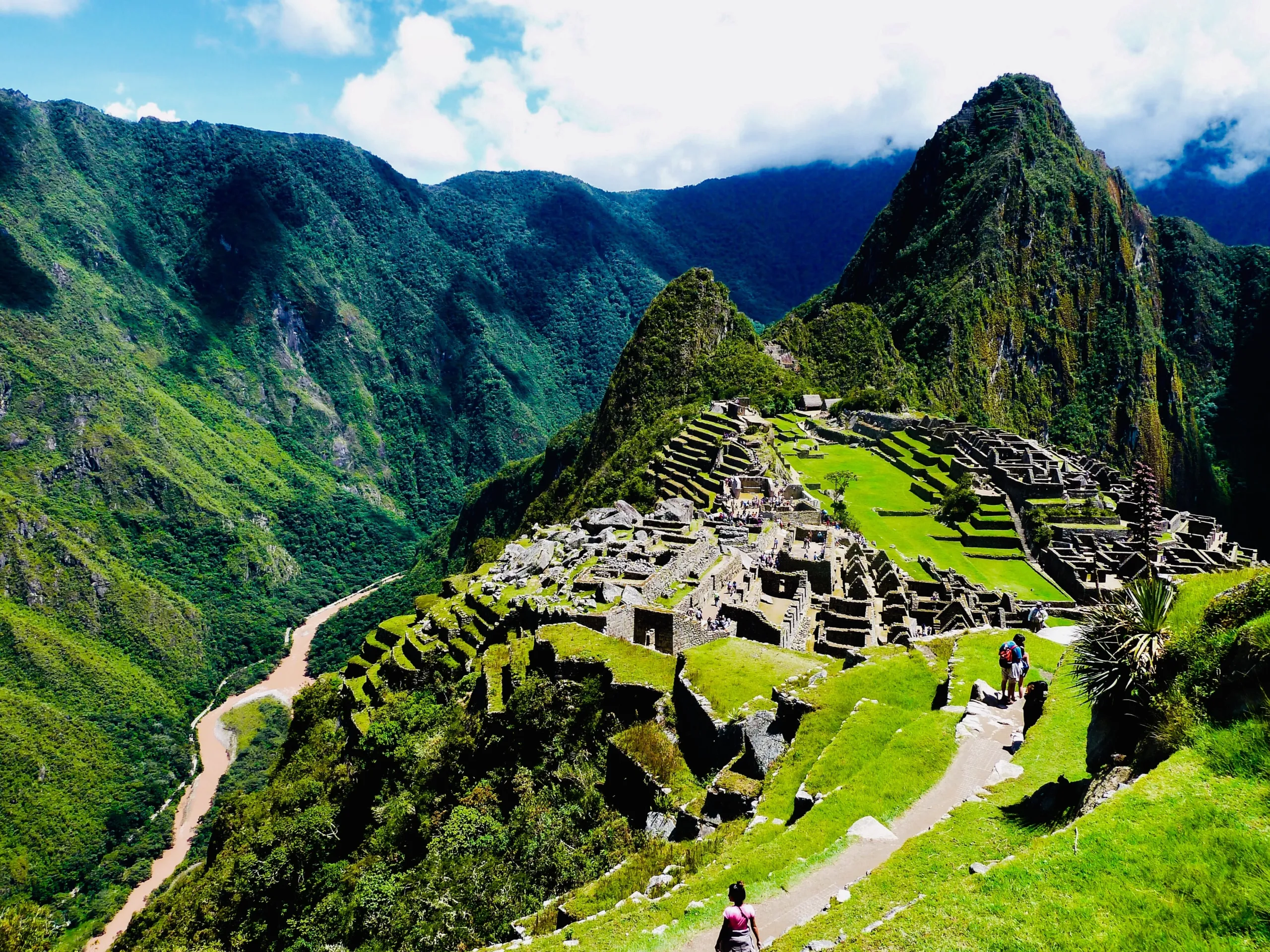
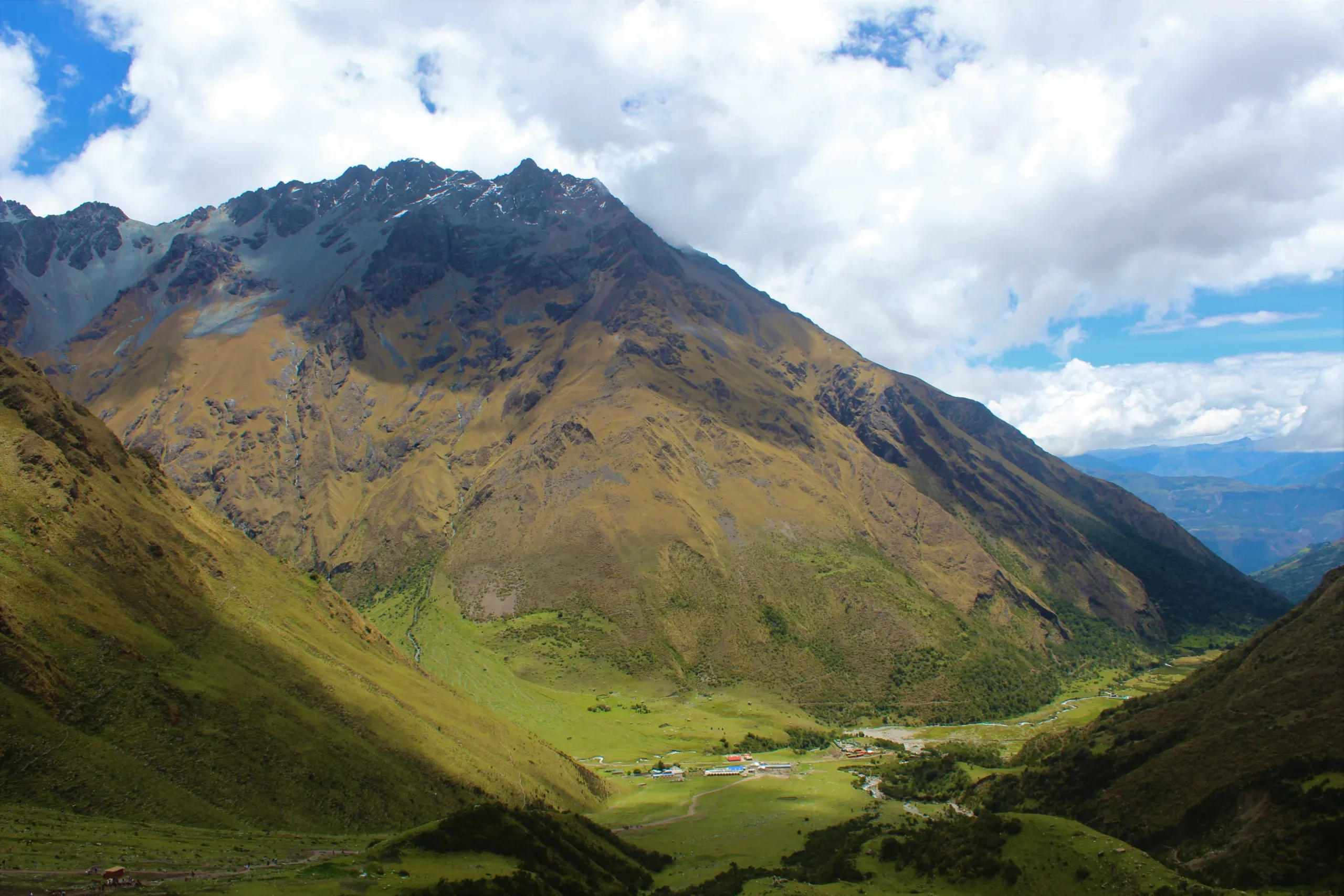
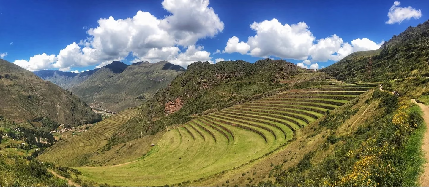
  • Choquequirao itself—the “Golden Cradle” emerging through morning mist, its terraces stepping down the mountainside like a frozen cascade of imperial resolve.
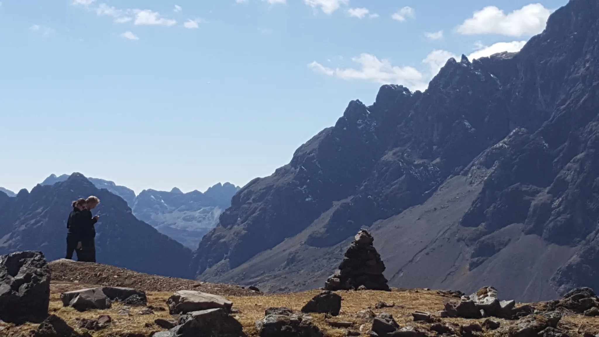
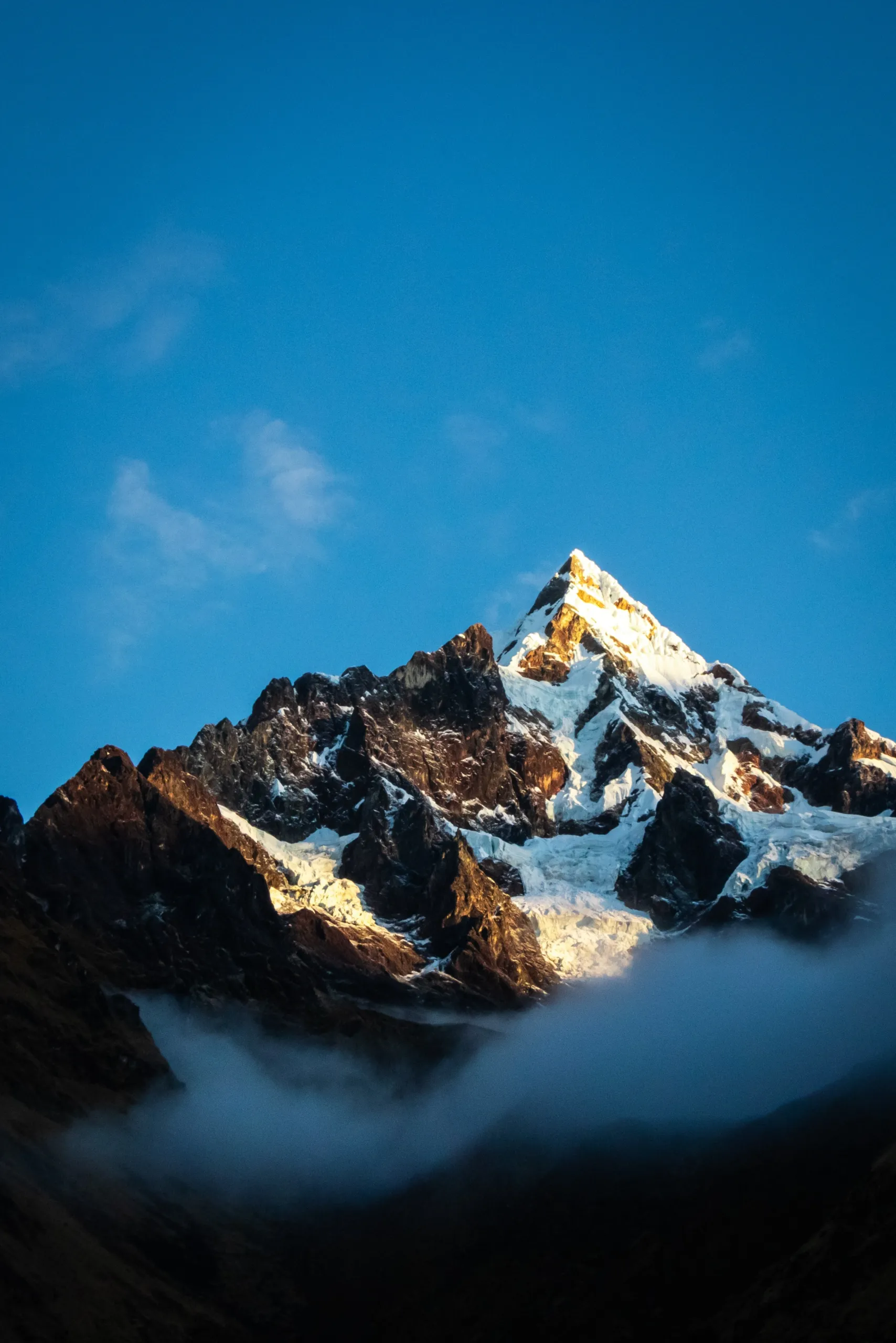
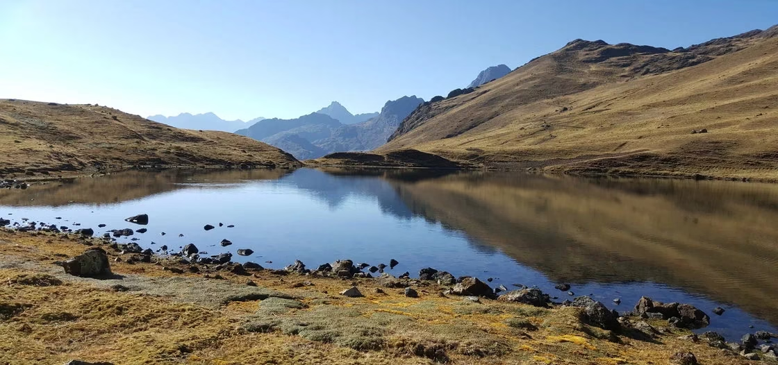
  • The Yanama Pass, where thin air hums with the silence of glaciers and your breath becomes a meditation.
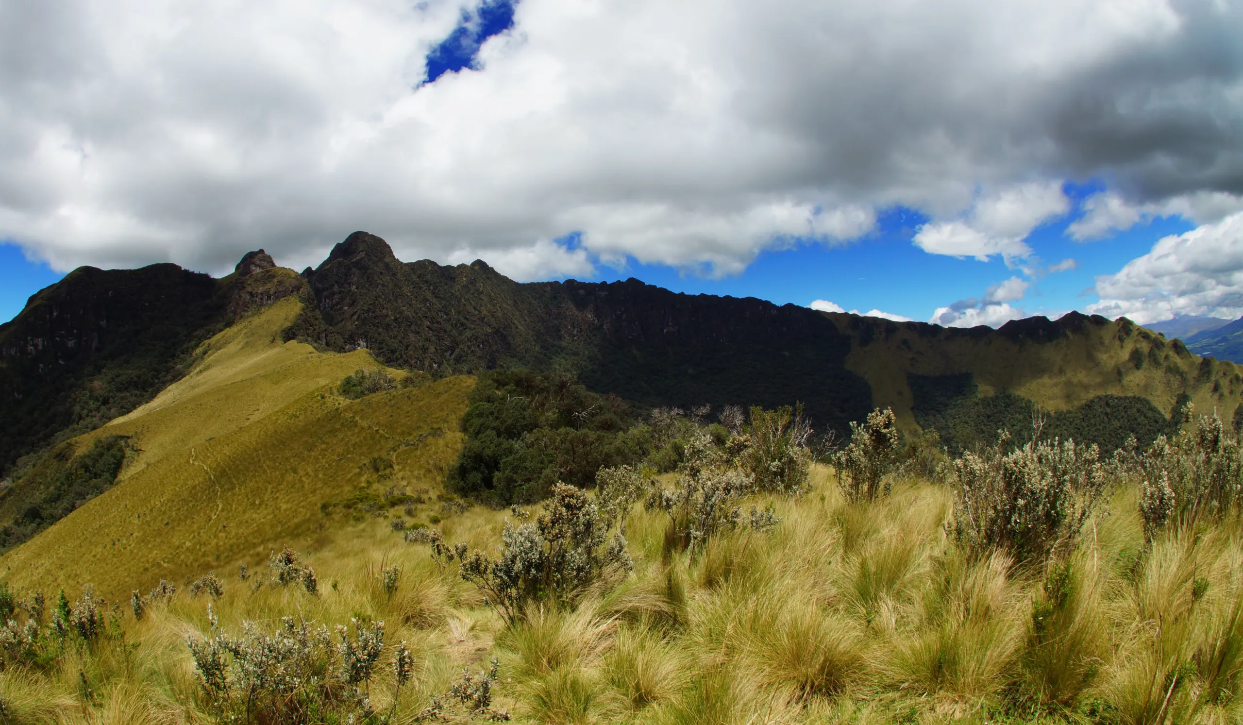
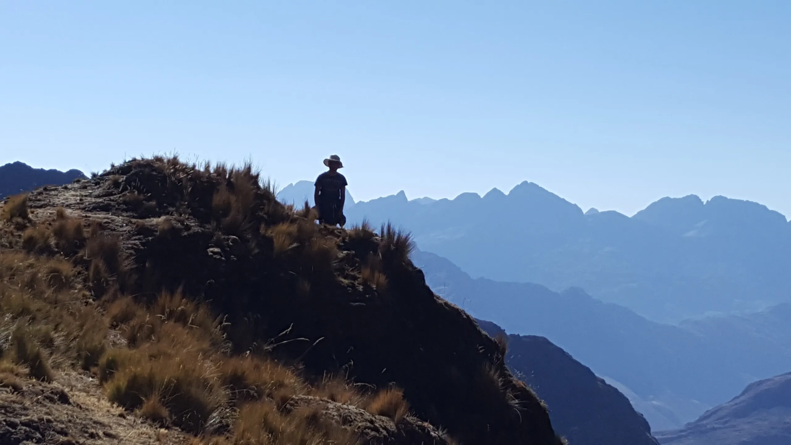
  • Mariano Llamocca’s razorback traverse, a high-altitude tightrope walk between valleys carved by ancient waters.
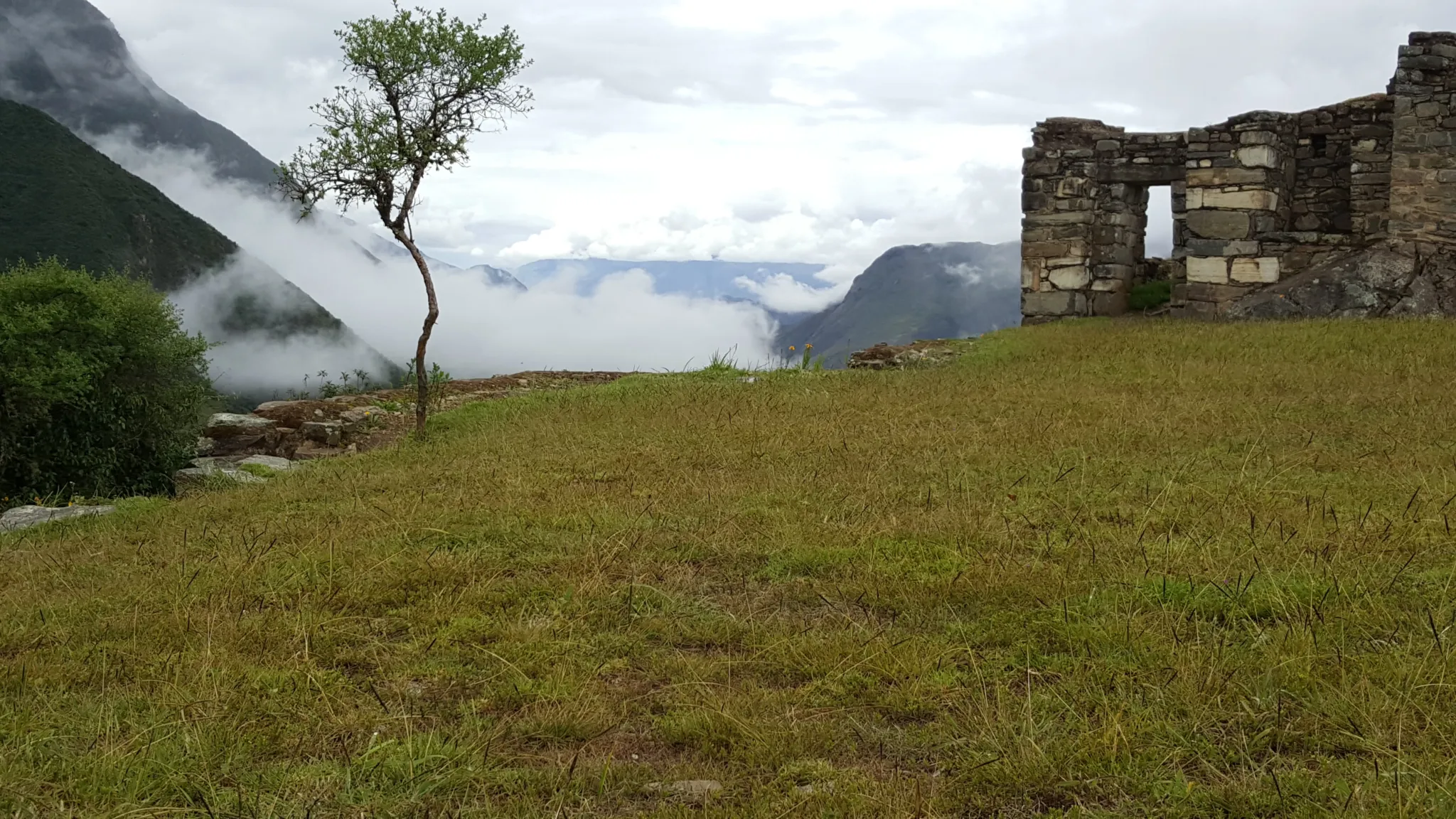
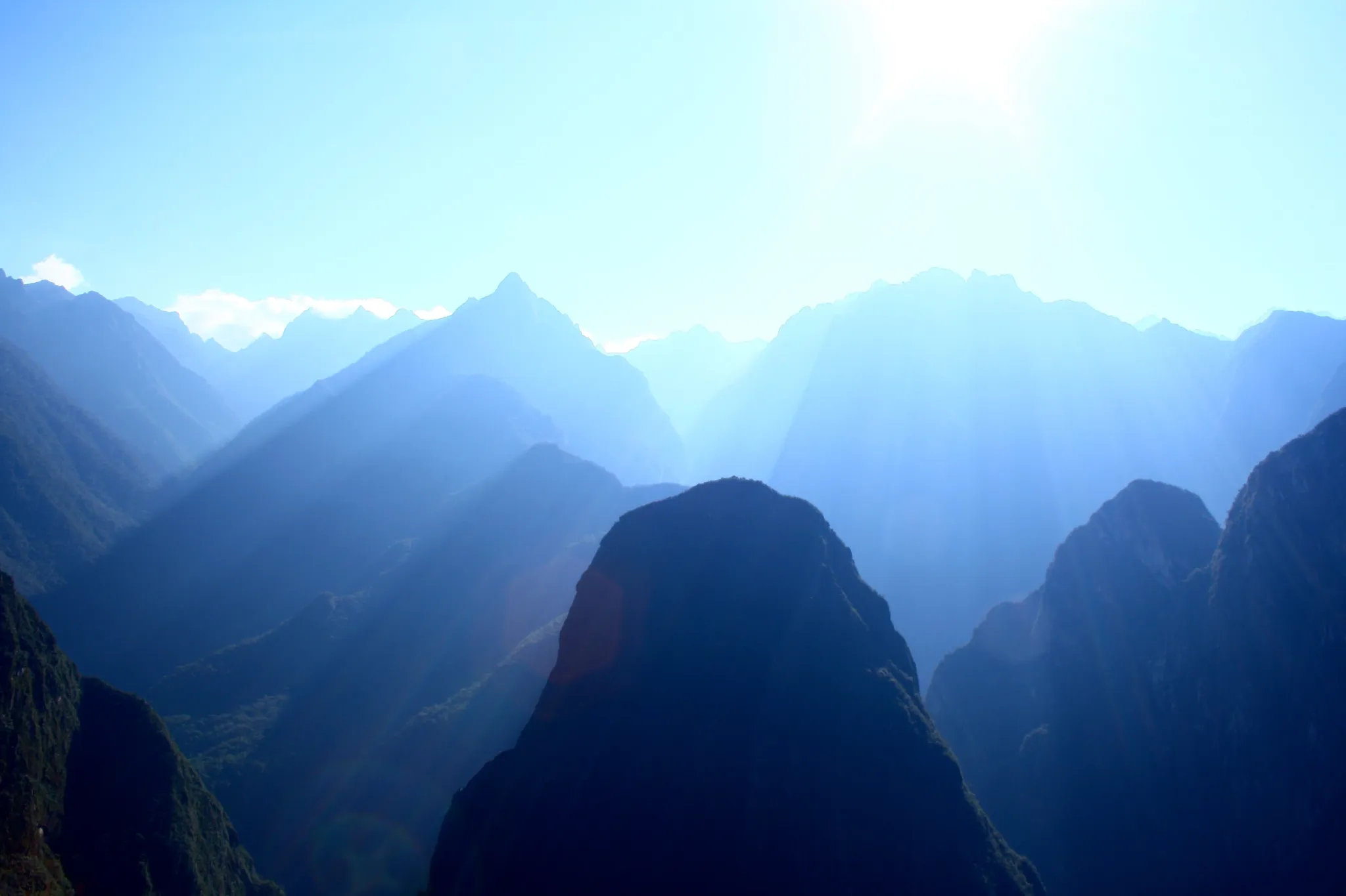
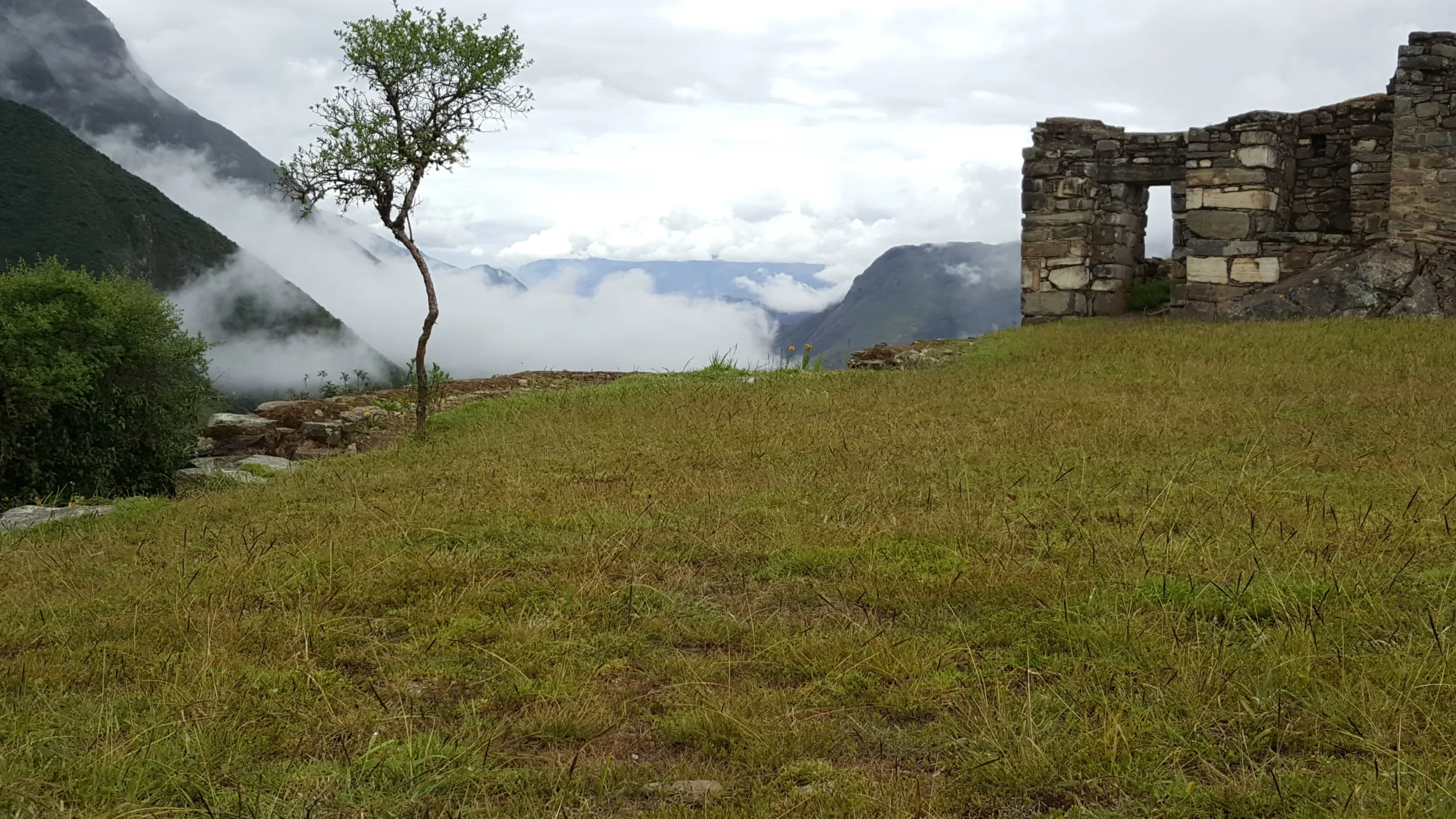
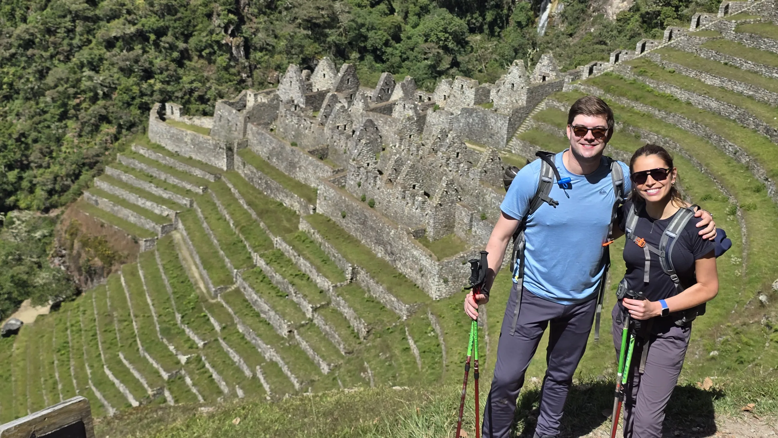
  • Llactapata’s ceremonial reveal, where Machu Picchu first materializes through the dawn vapors—a citadel suspended between mist and myth.
  • Machu Picchu is not an endpoint but an awakening, its stones radiating the quiet certainty of those who built to last. Each site a chapter, each step a verse in this Andean epic.


Machupicchu: exeriences for life - IntiTravel.Org - Therapeutic tourism


Choquequirao Expedition


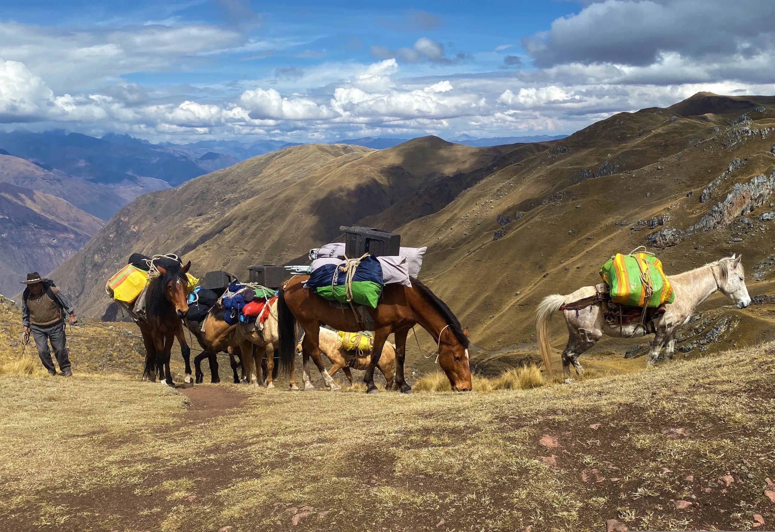
Ten days of walking this road does something that no other route in the Andes can replicate — because no other route covers this much ground, this much history, and this much vertical change in a single continuous journey.


What Ten Days Between Two Civilizations Produces

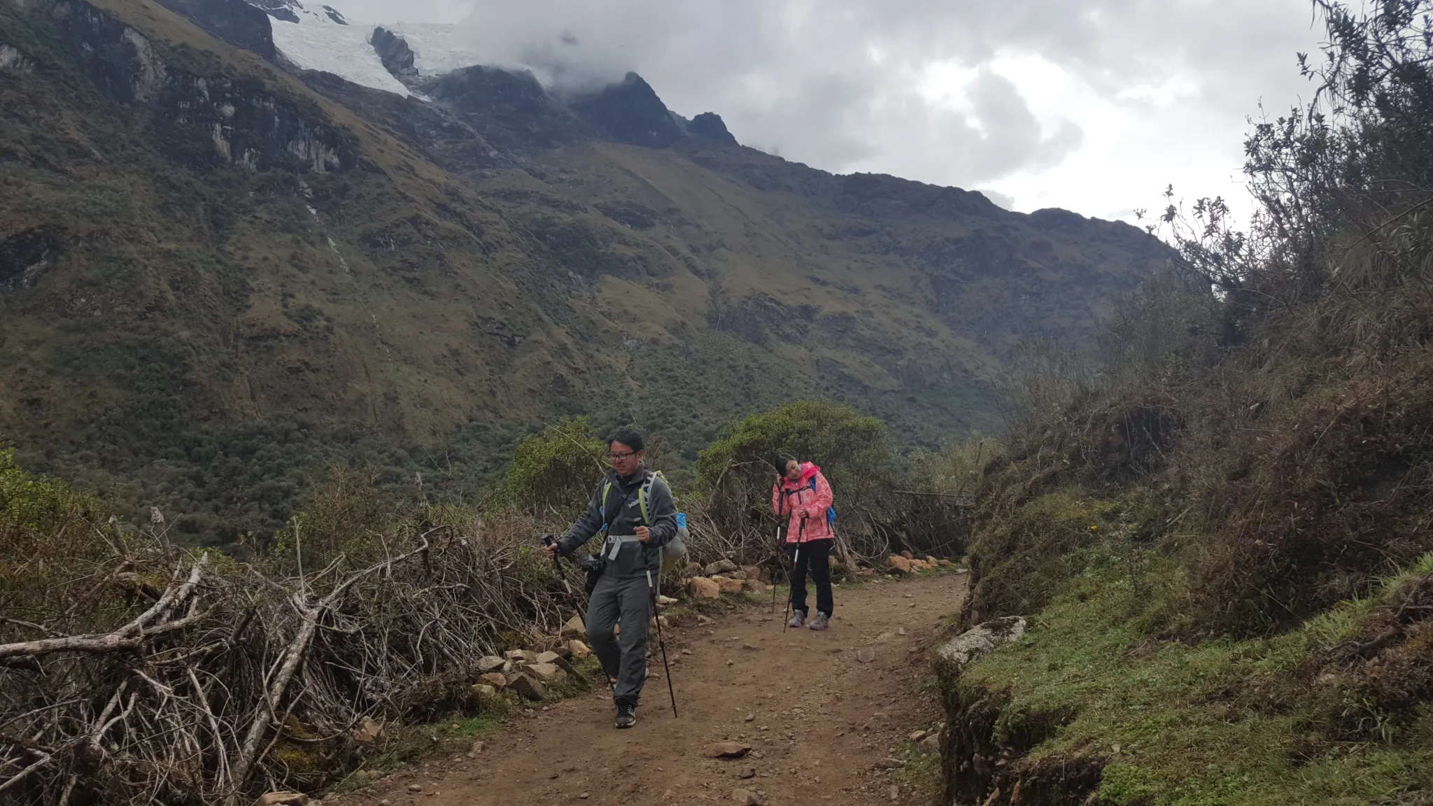
The therapeutic architecture of this expedition is built into its length and its direction. The first three days are the hardest — the Apurímac Canyon crossing, the ascent to Choquequirao, the initial exploration of a site so large and so empty that its scale takes time to comprehend. Days four through seven move through the Vilcabamba range in a sequence of passes, valleys, and cloud forest sections that progressively shift the landscape from the austere world of the canyon to the lush subtropical terrain of the Urubamba watershed. Days eight through ten complete the approach to Machu Picchu via zip-line, coffee valley, and the Llactapata viewpoint — arriving at the most visited site in South America having walked to it from its forgotten twin.

By the time Machu Picchu appears from Llactapata on Day 8, you will have spent seven days inside Inka territory without a road, a hotel, or any of the infrastructure that normally mediates the relationship between a traveler and a place. What that produces in the encounter with Machu Picchu is not describable in advance. It is the point of the journey.


Cusco → Capulilloq → Apurímac River → Santa Rosa | 12 km | Moderate to Difficult

Five hours by road from Cusco to Capulilloq — the trek’s entry point at 2,850 meters, where the Apurímac Canyon opens without warning and Choquequirao is visible in the distance as a series of terraces cut into a forested ridge. Condors ride the thermal columns above the canyon walls with the unhurried confidence of creatures that have been doing this longer than the Inka.

The descent to the Apurímac River is long, hot, and dry — the canyon generates its own climate, and the river at the base runs fast and loud between walls that rise more than 1,500 meters on both sides. The suspension bridge crossing marks the threshold between the accessible world and the one this expedition inhabits for the next nine days.

The ascent to Santa Rosa camp follows immediately. The Milky Way over the Apurímac Canyon, from a campsite with no light pollution for a hundred kilometers, closes the day.

  • Distance: 176 km by road + 12 km on foot
  • Altitude range: 1,550 m – 2,850 m
  • Overnight: Camp at Santa Rosa

Santa Rosa → Marampata → Choquequirao | 12 km + first exploration | Difficult to Moderate

The morning climb from Santa Rosa is the hardest sustained ascent of the early expedition — through increasingly humid cloud forest, the vegetation thickening as the altitude rises, the canyon views expanding behind you with every switchback. Marampata arrives like a reward: a village on a cliff edge with a panorama of glaciers in three directions and the knowledge that the worst climbing is finished.

The afternoon delivers Choquequirao — its terraces emerging from the forest, its main plaza taking shape, its scale becoming clear in a way that no photograph has ever prepared anyone for. Three times the size of Machu Picchu. Eighty percent unexcavated. The exploration begins before camp is fully set.

  • Distance: 12 km + initial site exploration
  • Altitude range: 2,100 m – 3,050 m
  • Overnight: Camp at Choquequirao base

Choquequirao → Choquequirao Pass → Pinchaunuyoc | Full exploration + 6 km | Moderate

A morning inside Choquequirao with the full depth that an overnight at the site makes possible — the dawn light on the llama terrace reliefs, the ceremonial plaza in the early quiet before the day fully arrives, the mysteries that the local communities of the Apurímac have carried about this place through five centuries. Your guide moves through the site not as a tour but as a reading — the Inka method applied to stones that 80% of the world has never seen.

After lunch the route continues — ascending to the Choquequirao Pass at 3,350 meters where the landscape of the coming days becomes visible, then descending through dry and bushy terrain to Pinchaunuyoc. Pre-Inka walls appear in the vegetation near camp. The water channels here are still functioning. Somebody built this to last.

  • Distance: Full exploration + 6 km
  • Altitude range: 2,100 m – 3,350 m
  • Overnight: Camp at Pinchaunuyoc

Pinchaunuyoc → Yuraq Mayu River → Maizal | 7 km | Moderate to Difficult

The descent from Pinchaunuyoc reaches the Yuraq Mayu River — a watercourse that the Inka used as a trade route and that carries, in its sandy banks, occasional flecks of gold. Whether fortune cooperates is between you and the river.

The trail climbs from the riverbank through bush forest to the Maizal camp at 3,000 meters — a campsite in the cornfields, surrounded by agricultural terracing that somebody still tends, with an afternoon free to sit with the landscape and the accumulated weight of three days inside Choquequirao territory.

  • Distance: 7 km
  • Altitude range: 1,800 m – 3,000 m
  • Overnight: Camp at Maizal

Maizal → Cloud Forest → Yanama Pass (4,550 m) → Yanama | 12 km | Difficult to Moderate

The ascent from Maizal follows original Inka trail through cloud forest — sections of stone paving that have outlasted every road built since, flanked by orchids and the evidence of artisanal mining operations that came and went without leaving anything as permanent as what the Inka built beneath them.

The vegetation transitions as the altitude rises — cloud forest giving way to Andean shrubland, shrubland giving way to high puna — until the Yanama Pass opens at 4,550 meters with a view across the Vilcabamba range that marks the geographic and psychological midpoint of the expedition. The world behind you is the Apurímac. The world ahead is the Urubamba. Between them: five more days.

  • Distance: 12 km
  • Maximum altitude: 4,550 m at Yanama Pass
  • Overnight: Camp at Yanama

Yanama → Mariano Llamocca Pass (4,660 m) → Collpapampa | 26 km | Difficult

The longest day of the expedition and one of its most physically demanding — 26 kilometers through the full range of the Vilcabamba range, from the valley floor at Yanama up to the Mariano Llamocca Pass at 4,660 meters and down through a long descent to Collpapampa at 2,900 meters.

The pass is the highest point of this route — a razorback ridge between two valleys with glacier views extending to the horizon in both directions and condors, frequently, riding the updrafts above. The descent is long and the temperature rises continuously as the altitude drops and the subtropical vegetation begins to reassert itself. The day ends with the body fully expended and the landscape completely transformed from its morning starting point.

  • Distance: 26 km
  • Maximum altitude: 4,660 m at Mariano Llamocca Pass
  • Overnight: Camp at Collpapampa

Collpapampa → Subtropical Forest → Sawayaco → Santa Teresa → Cocalmayo | 15 km | Moderate to Difficult

A day of transition — moving through subtropical forest where orchids grow from the trail edges and wild fruits appear depending on the season, following old trails through a landscape that has shifted completely from the high mountain world of the previous two days. The descent to Sawayaco leads to lunch and then transportation to Santa Teresa, where the Cocalmayo thermal springs wait with the same mineral-rich water that travelers on this route have been using for centuries.

After six days of canyon crossing, high passes, cloud forest, and the longest walking day of the expedition, thermal springs are not an amenity. They are a physiological necessity and a ceremonial close to the Vilcabamba section of the journey.

  • Distance: 15 km on foot + transport
  • Altitude range: 1,433 m – 2,900 m
  • Overnight: Camp at Lucmabamba

Santa Teresa → Zip-line → Lucmabamba → Llactapata | 8 km | Moderate to Difficult

The zip-line crossing opens a morning that delivers, before noon, three experiences that each deserve a full day of attention. The flight above the cloud forest canyon — the Urubamba audible below, the mountains of the Machu Picchu sanctuary visible ahead. The coffee valley of Lucmabamba at 2,000 meters, where the beans are harvested and prepared using methods that predate the specialty coffee industry by centuries. And then the ascent to Llactapata — the ceremonial Inka site above the valley where Machu Picchu appears for the first time, across the distance the Inka intended it to be first seen.

Seven days of walking to reach this view. The distance between Choquequirao and that sight of Machu Picchu, covered entirely on foot through the Vilcabamba range, gives the citadel a weight that no bus, no train, and no direct arrival can produce.

  • Distance: 8 km
  • Altitude range: 1,550 m – 2,740 m
  • Overnight: Lodge at Llactapata

Llactapata → Aobamba River → Aguas Calientes | 14 km | Moderate

A gradual descent through cloud forest following the Aobamba River as it joins the Urubamba and the trail borders the base of Machu Picchu mountain itself. The walking is unhurried — a physical decompression after eight days of continuous movement through extreme terrain, the body moving easily through a landscape it has learned to read.

Aguas Calientes by afternoon. Hotel. The expedition’s final night.

  • Distance: 14 km
  • Altitude range: 2,040 m – 2,650 m
  • Overnight: Hotel, Aguas Calientes

Aguas Calientes → Machu Picchu → Cusco | Easy

Nine days of walking from Choquequirao through the Vilcabamba range to Llactapata have prepared you for this in ways that cannot be fully articulated before the experience. The citadel you enter on Day 10 is the same stone, the same terraces, the same astronomical alignments that every other visitor encounters. What you bring to it — the physical memory of nine days on original Inka road, the encounter with its forgotten twin, the approach from the ceremonial viewpoint above — is not something that any other route to this place can produce.

Your guide completes the Inka method conversation that began at the Apurímac Canyon viewpoint nine days ago.

Lunch at the Tinkuy Belmond Restaurant. Train back to Cusco.

  • Maximum altitude: 2,430 m
  • Difficulty: Easy
Choquequirao

Reviews

Reviews

There are no reviews yet.

Be the first to review “Choquequirao to Machu Picchu Expedition”

Your email address will not be published. Required fields are marked *

Included/Excluded

  • Incluido All transportation.
  • Incluido Guide service.
  • Incluido Food as described (breackfast=B, Lunch=L, dinner=D).
  • Incluido Entrance fees and permits for the detailed visit sites.
  • Incluido Chef for the trek.
  • Incluido Cooking equipement.
  • Incluido Camping equipement.
  • Incluido Transport mules.
  • Incluido Horseman – mule driver.
  • Incluido Accomodation 4 stars hotel as detailed.
  • Incluido Zip-line.
  • Incluido Boiled or purified water.
  • No Included Entrance fees to Waynapicchu Mountain and Machupicchu Mountain and others are optional.
  • No Included Bottle of water or sports drink.
  • No Included Tipping for staff.
  • No Included Travel ensurance.
  • No Included Flight tickets.
  • No Included Sleeping bag.

Attractions

Choquequirao, Llactapata, Machu Picchu

Activities

Camping, Culinary, Discoveries, Experiential tourism, Full nature, Glaciers, Hot springs, Lama experience, Picnic, Planetarium, Rural house,Trekking,Viewpoint of Condors, Zipline

FAQs

Nothing to show, please go to blogs.

Application Process

Contexto personal
Estado mental actua
Preferencias y límites
Datos de contacto

Book This Tour

Top Trending

You may like

Cart0
Cart0