


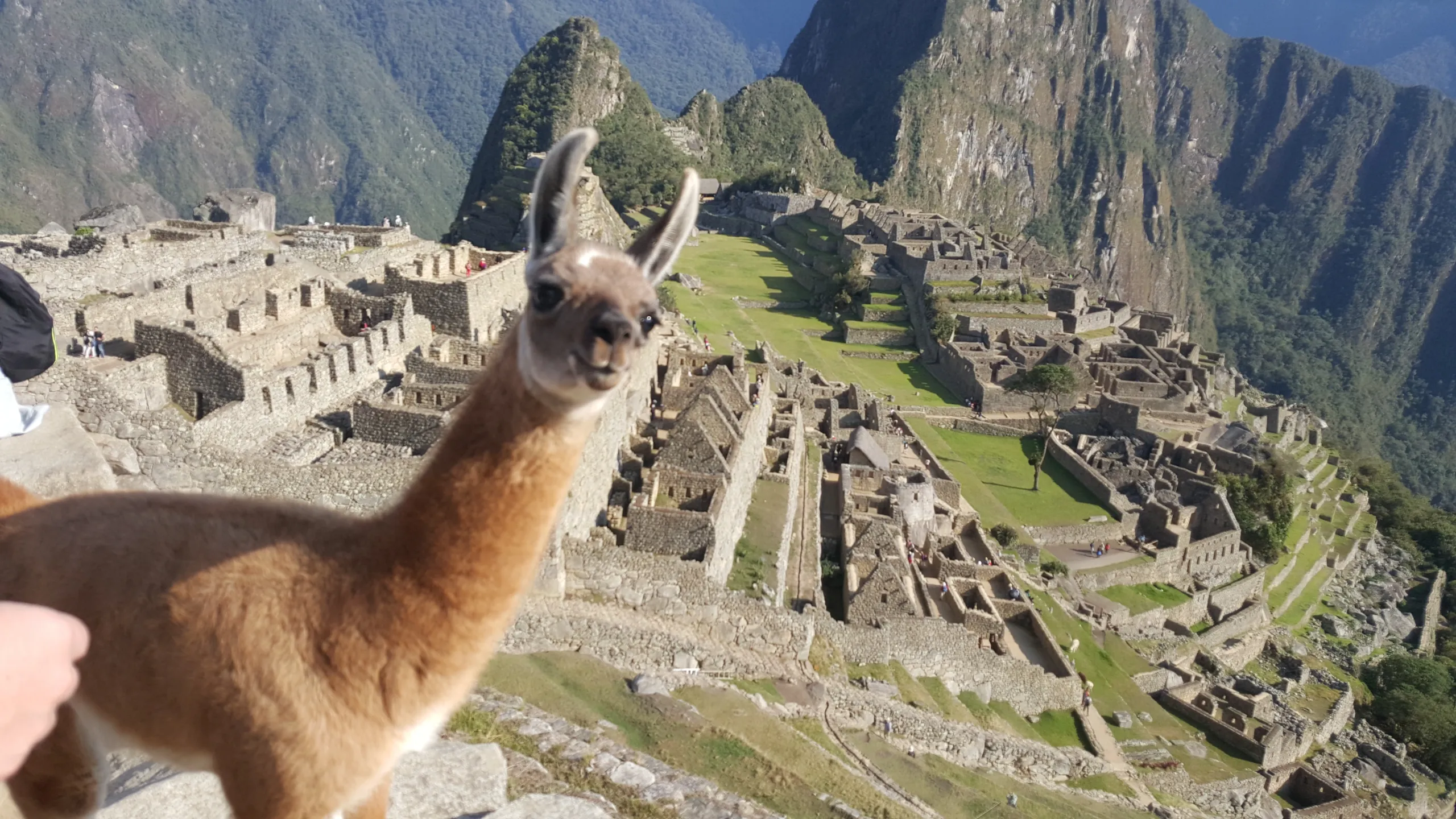
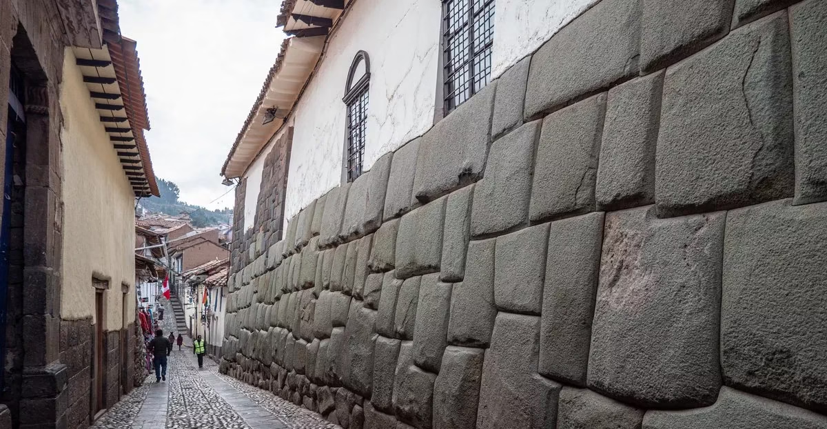
The Valley That Gave the Civilization Its Heart
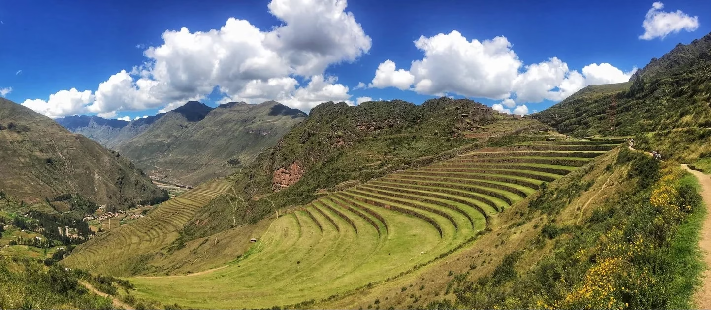
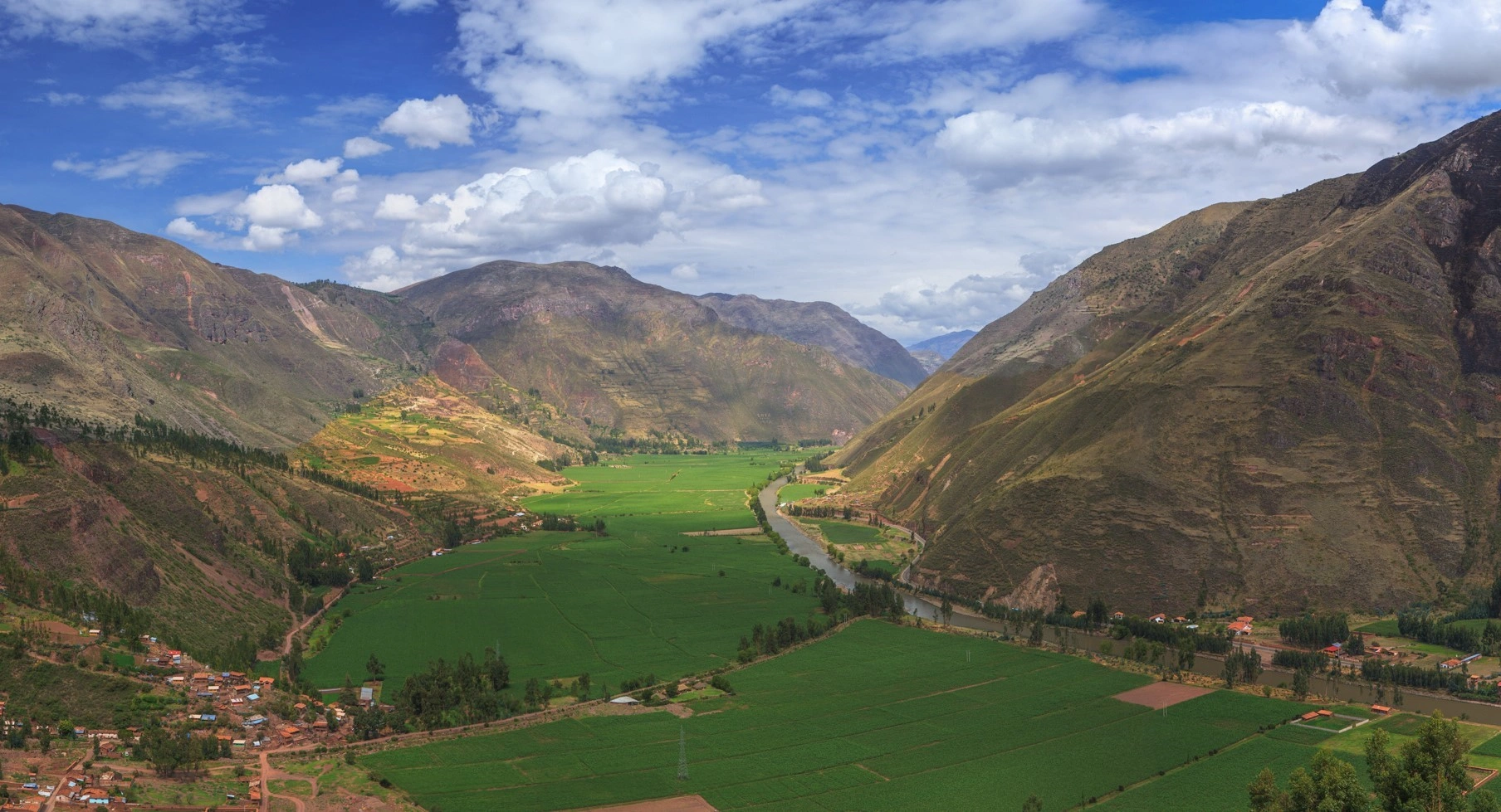
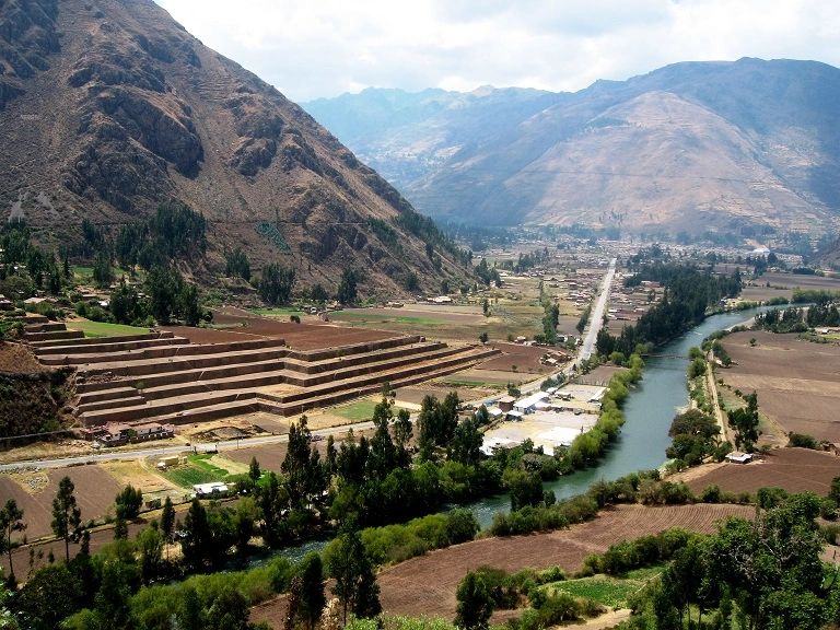
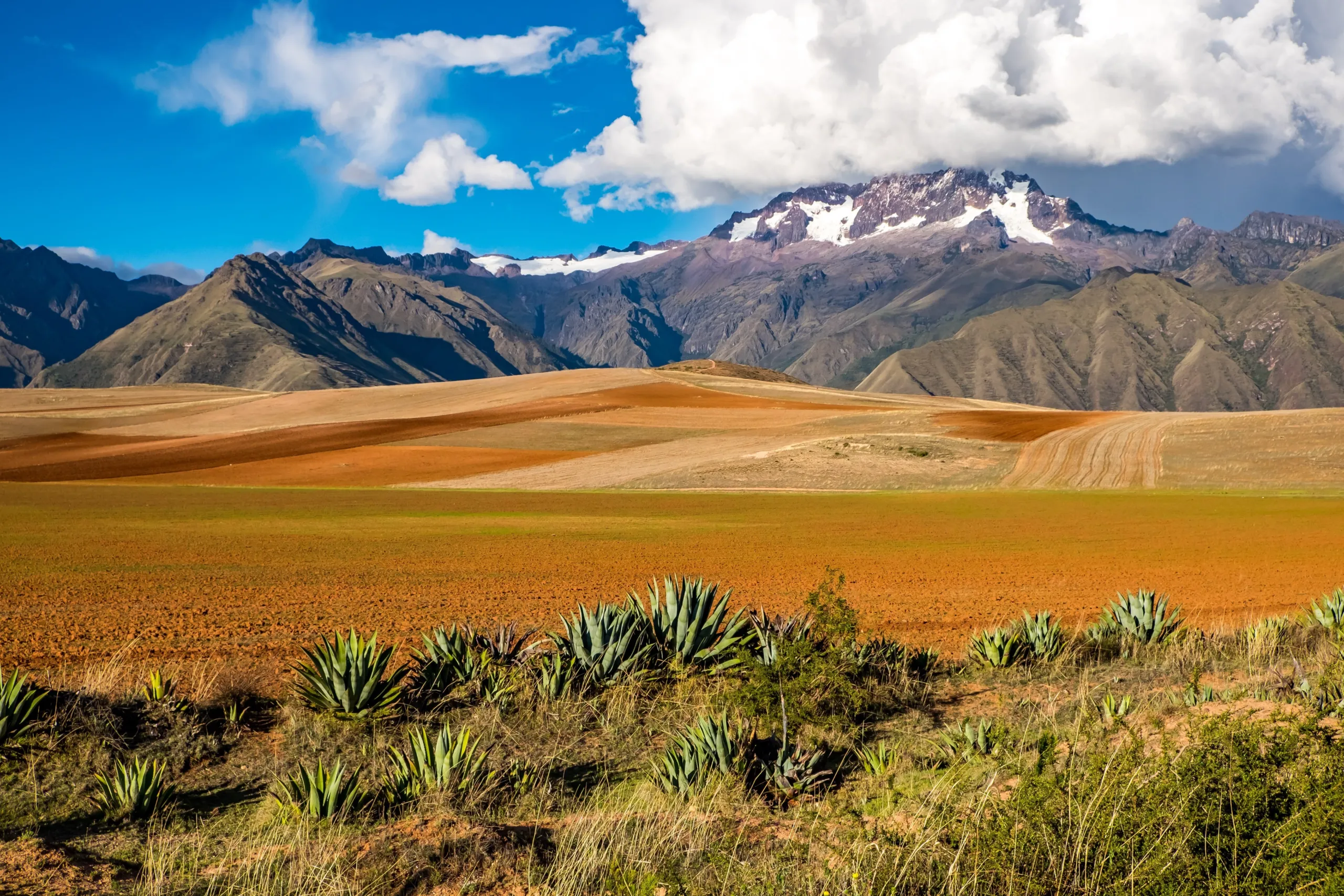
The Sacred Valley is not a backdrop. It was the agricultural, spiritual, and cosmological engine of the Inka civilization — a corridor chosen with the same deliberateness the Inka applied to everything, for its microclimate, its river, its orientation relative to the surrounding mountains, and its relationship to the astronomical cycles that governed the civilization’s calendar.
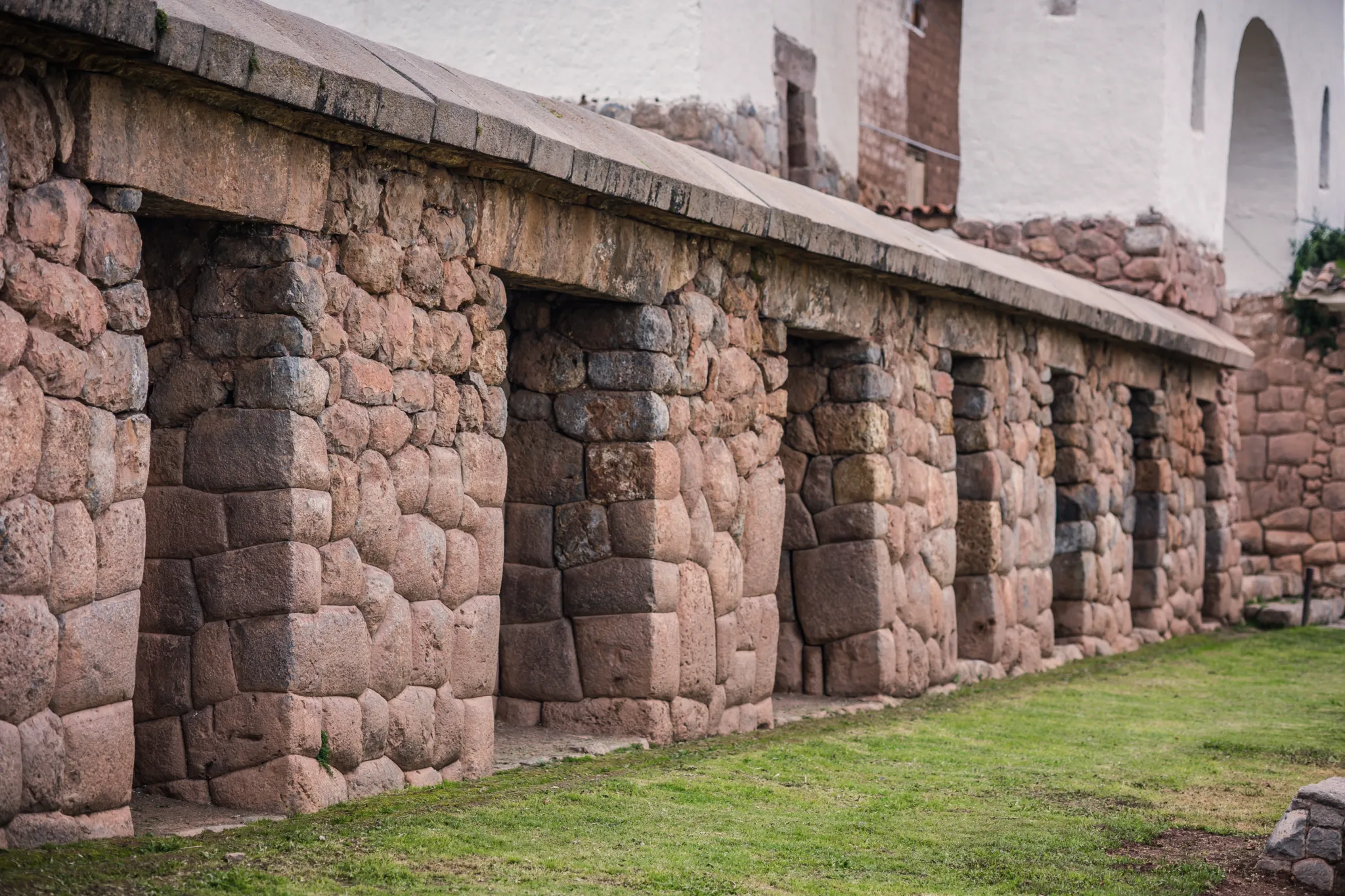
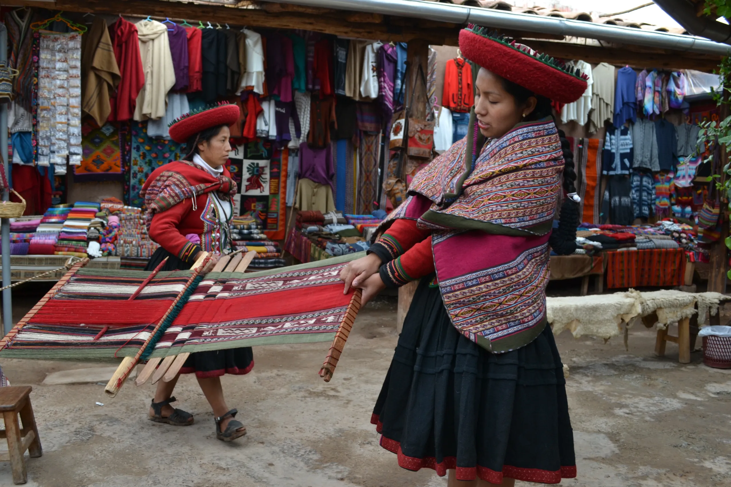
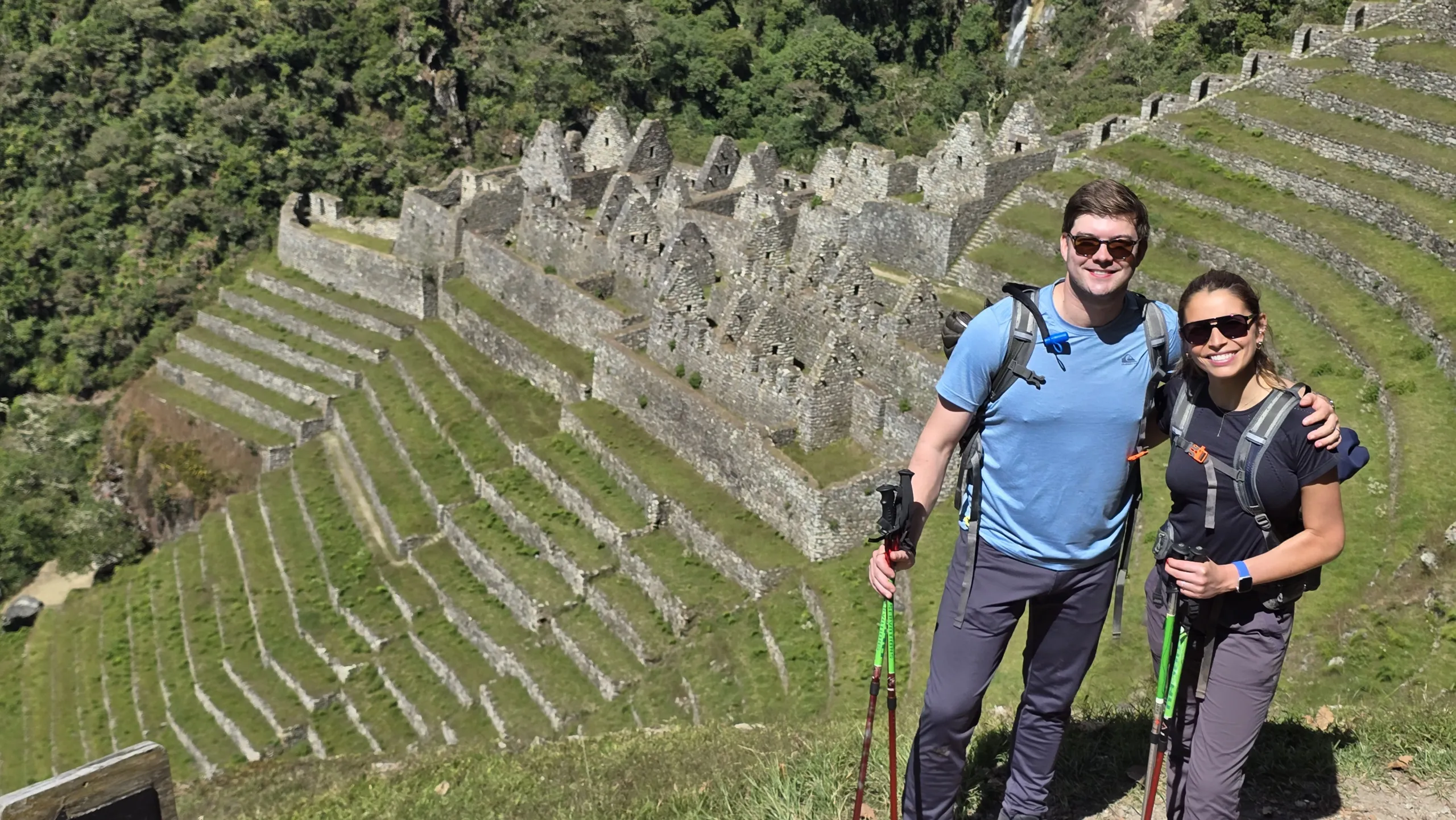
The communities, the terracing, the archaeological sites, and the markets that line this valley today are not remnants of a dead civilization. They are continuations of one that adapted — absorbing conquest, suppression, and modernity without losing the essential thread of what it knew. The Inka method guide reads that thread throughout the day, making visible what a standard tour leaves as scenery.
5 best attractions
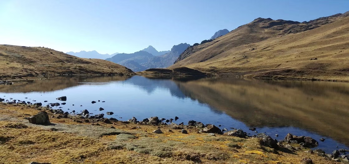
# View points
# Pisaq
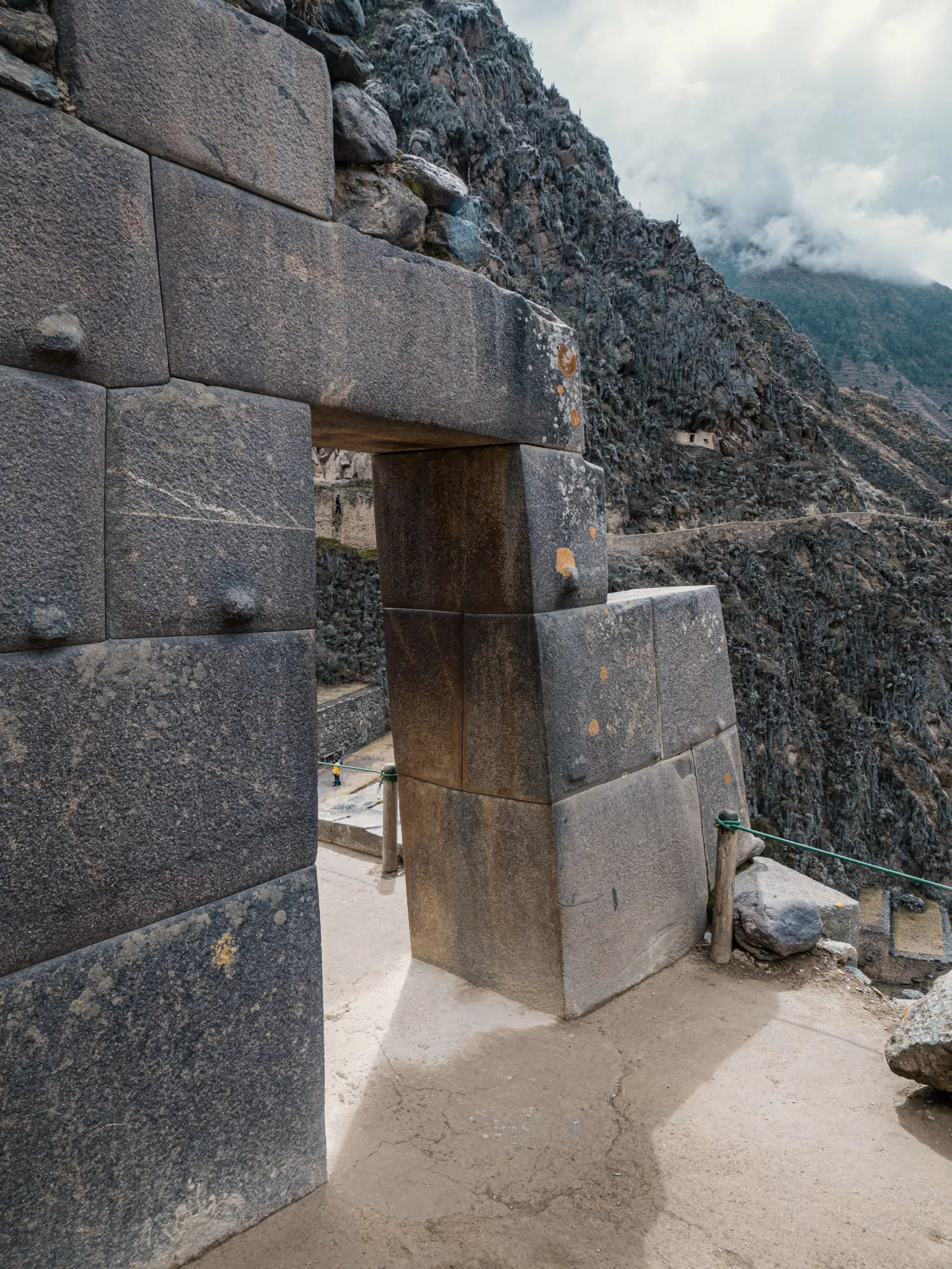
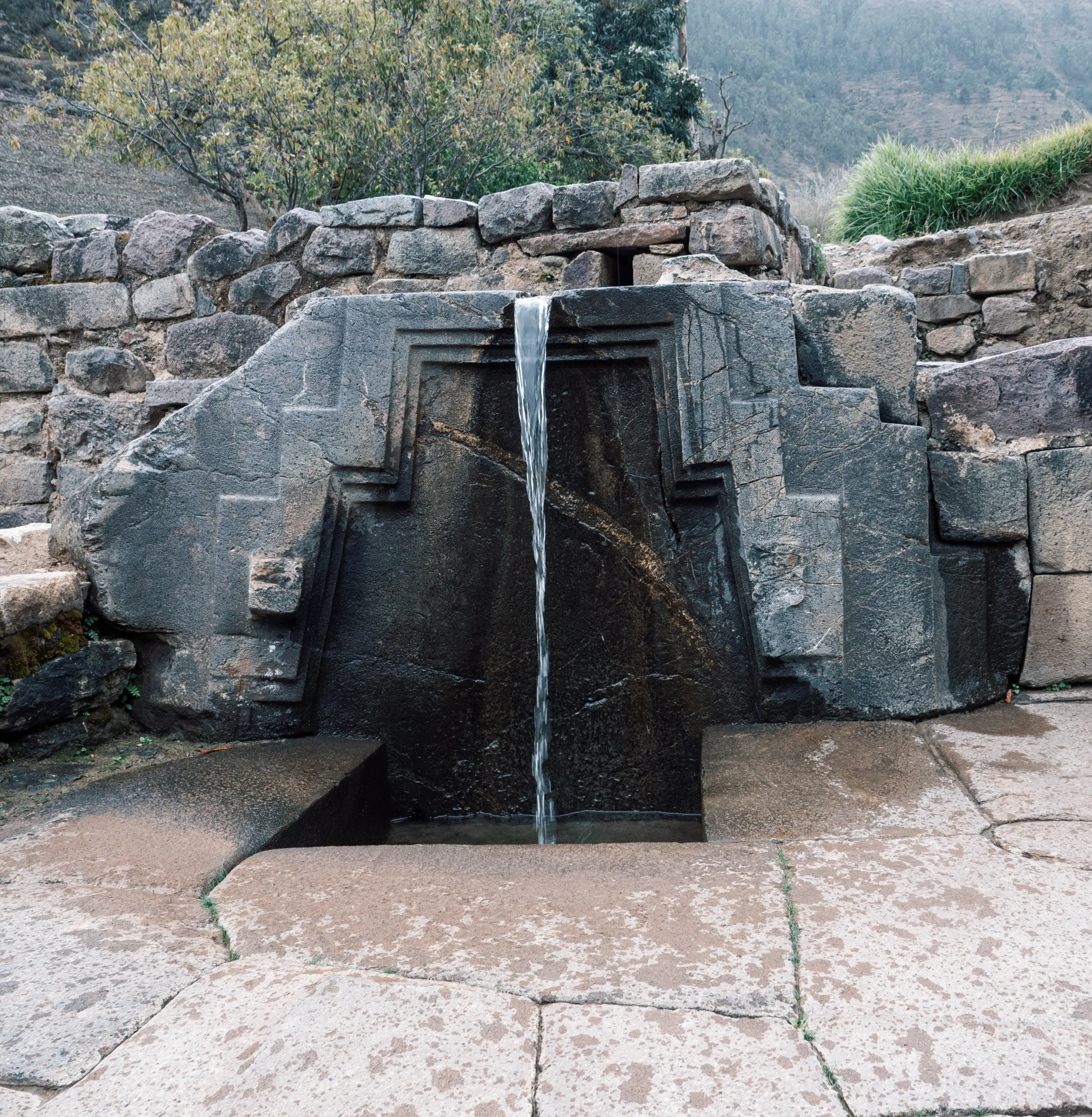
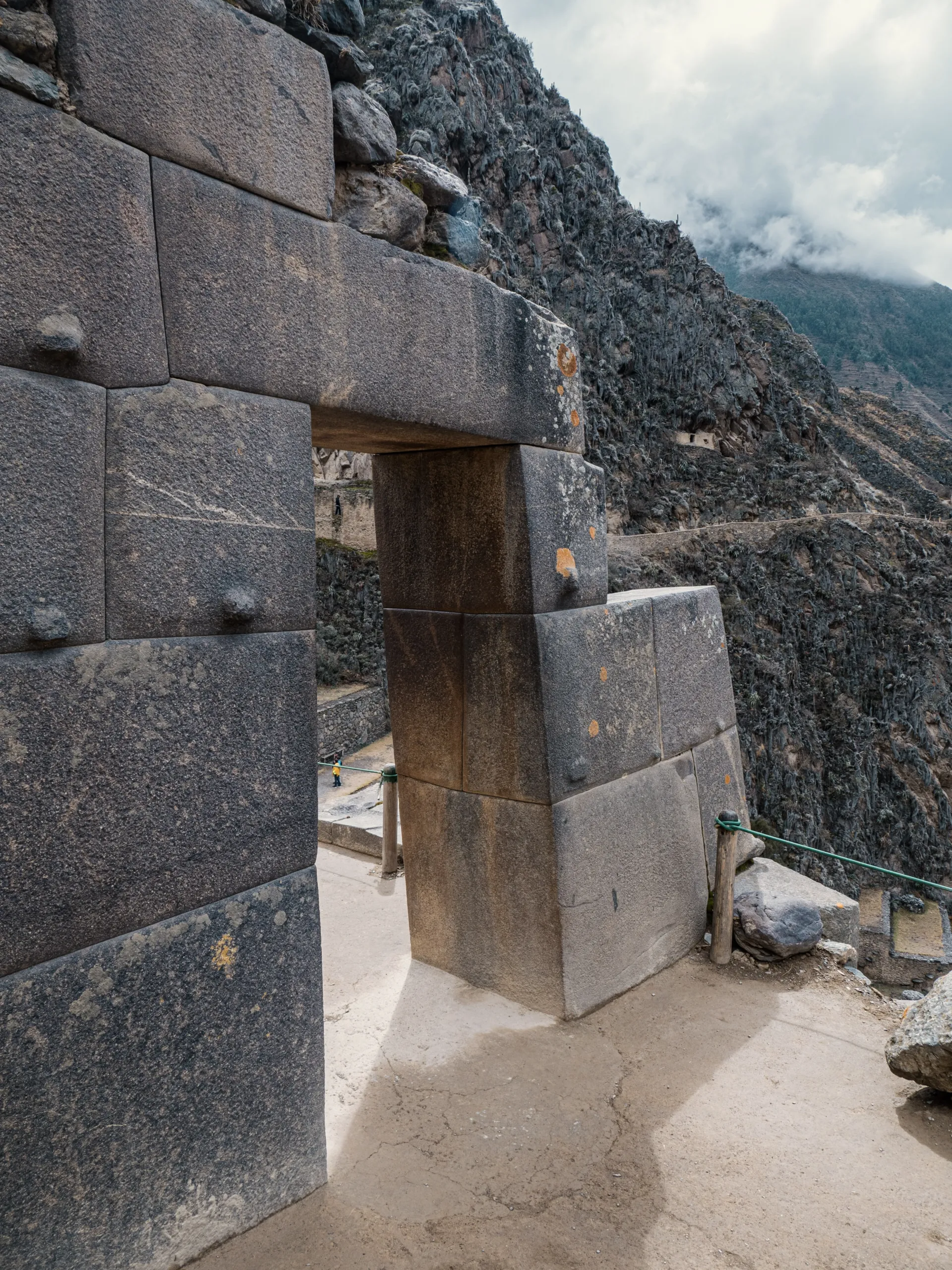
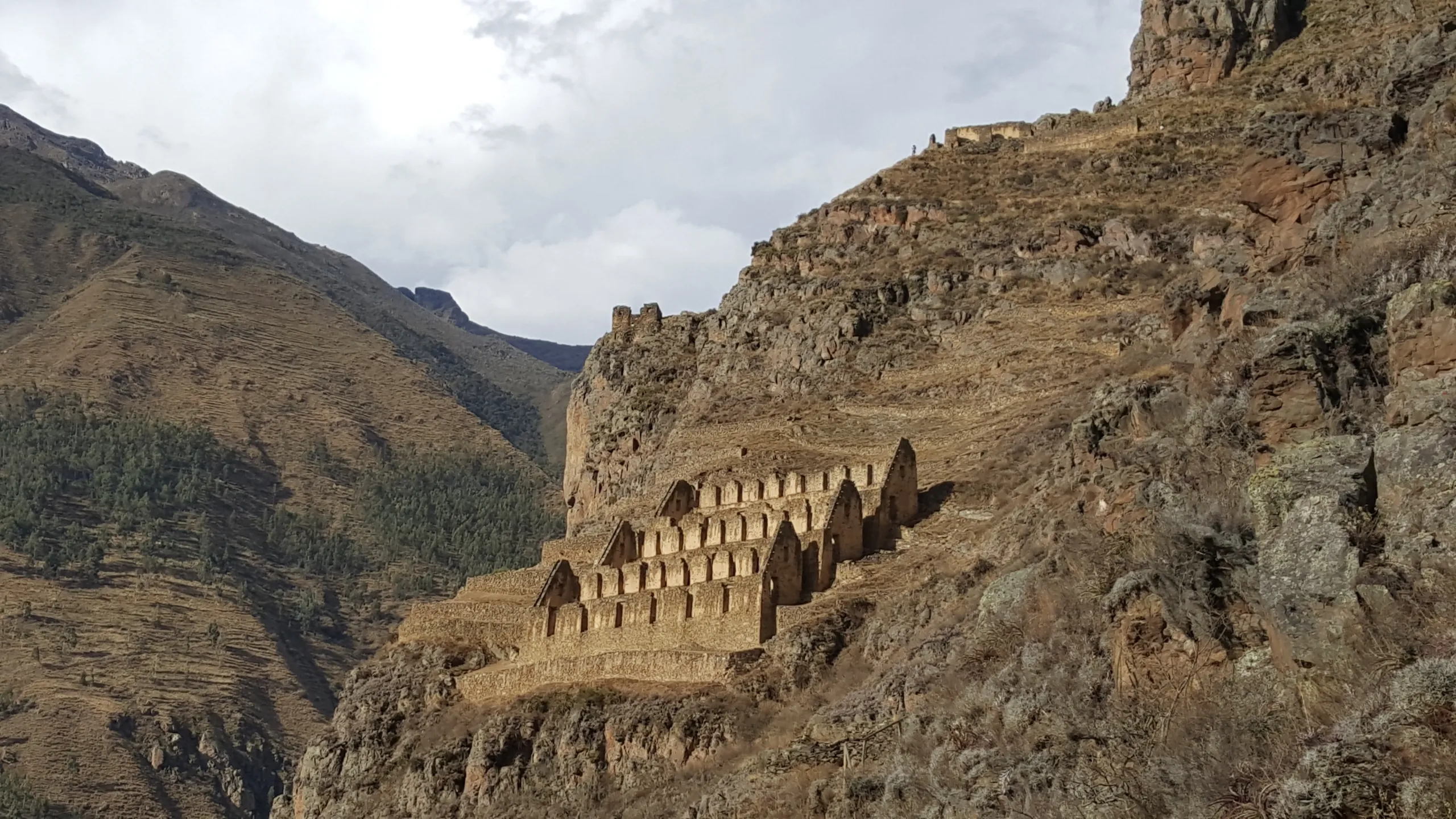
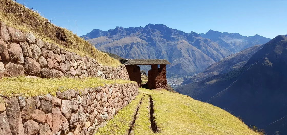
# Ollantaytambo
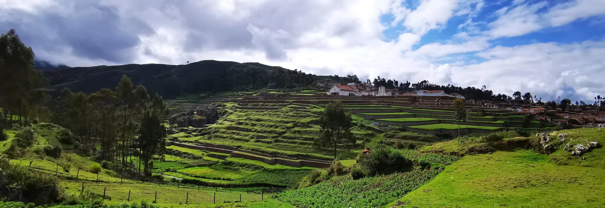
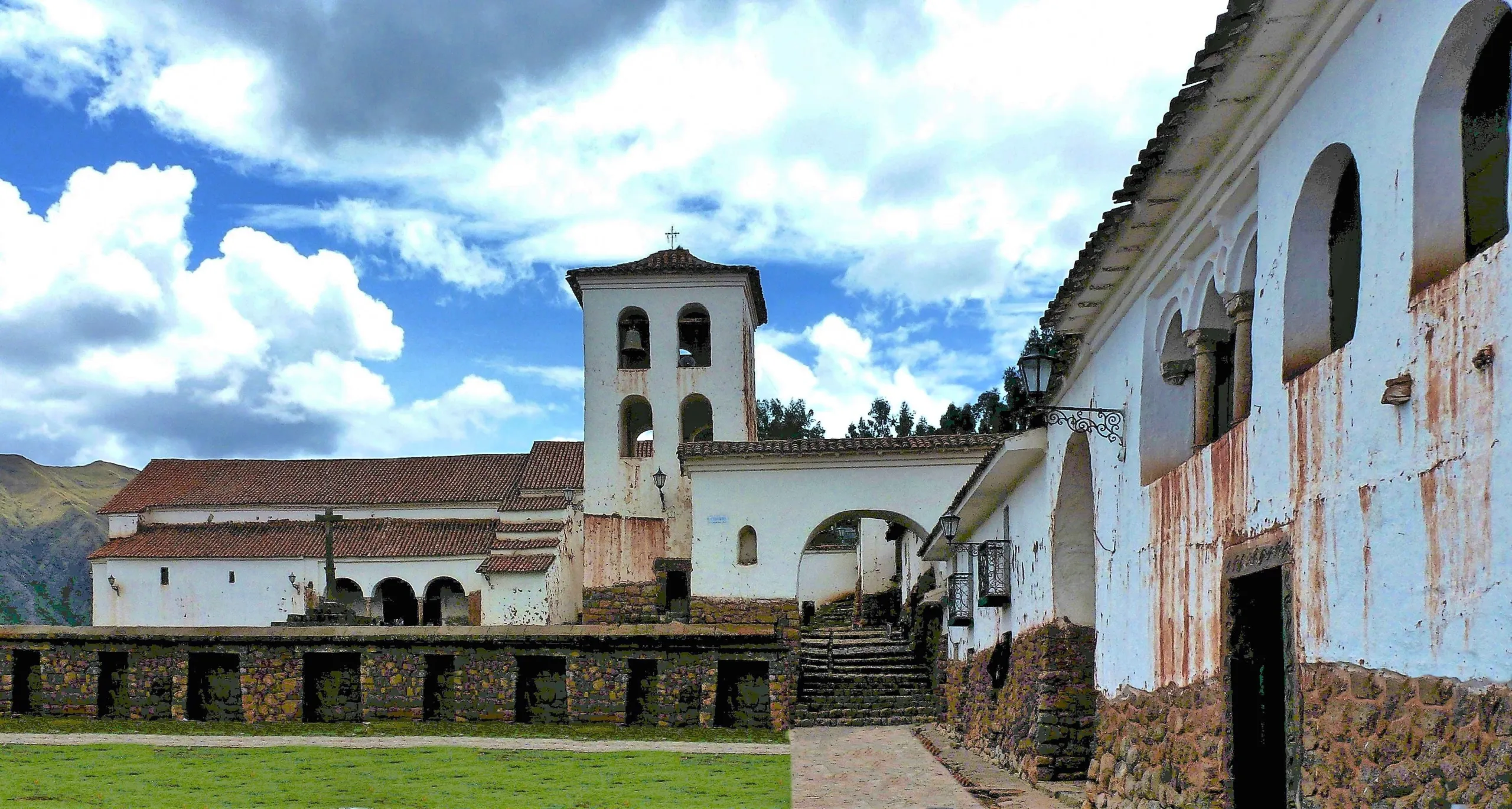
# Chinchero
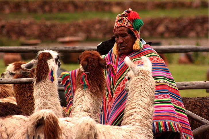
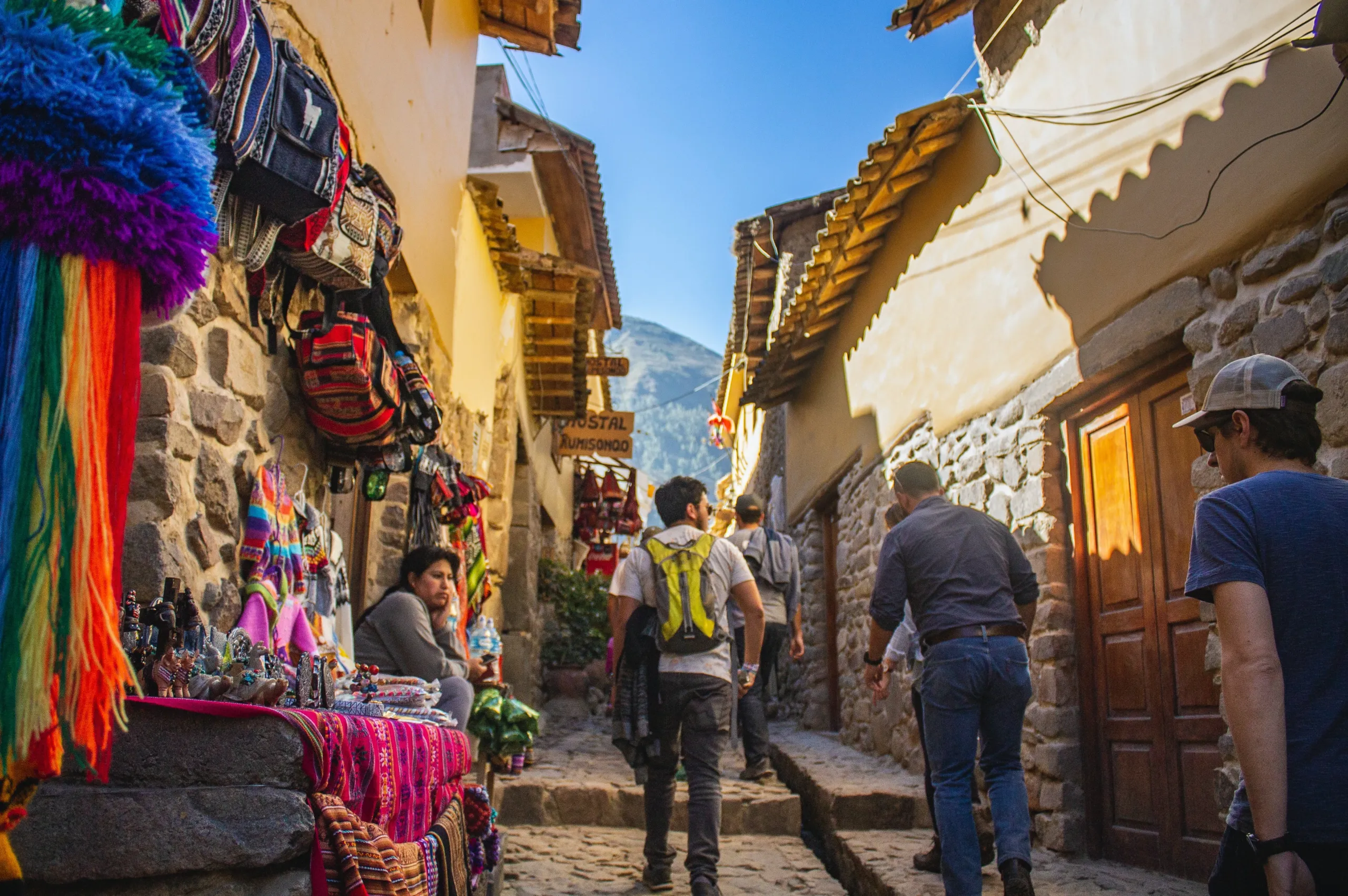
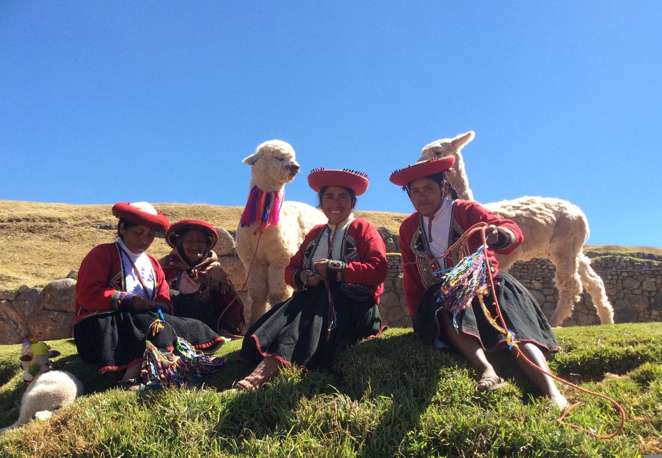
# Living culture

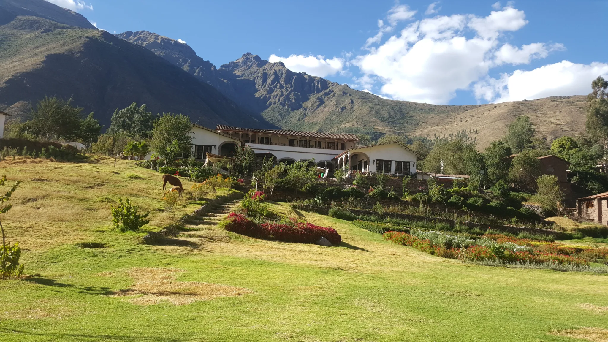
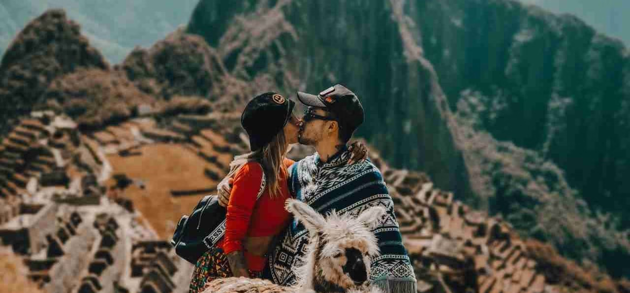
Sacred valley
One day in the Sacred Valley, approached this way, produces something that most travelers describe as the moment Cusco stopped being a destination and started being an experience.
Dare to be part of a new version of your holiday, therapeutic tourism to awaken the light of consciousness.


1 review for Sacred Valley
There are no reviews yet.