Choquequirao Trek

Duration

5 days

Max People

10

Attractions

2

Activities

10

Environment

Wilderness Environments

Min Age

12

Overview


The Inka Built Two Masterpieces. The World Only Found One.

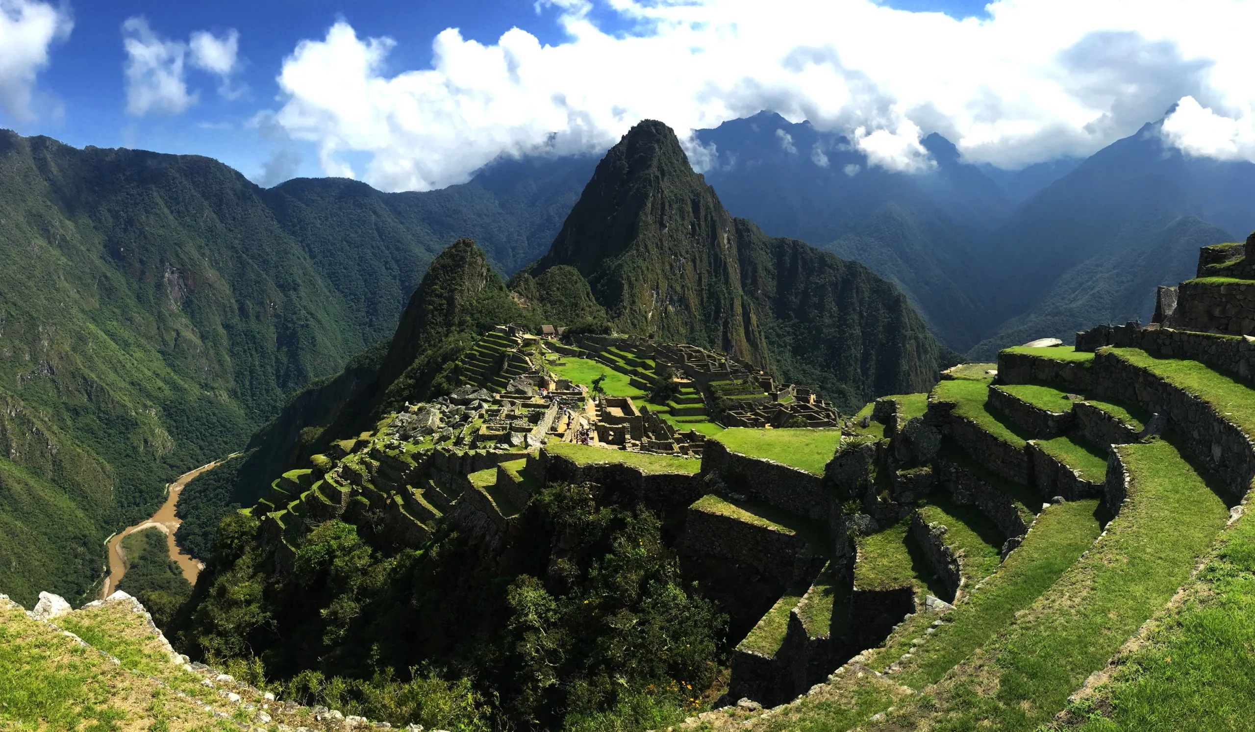
Machu Picchu was rediscovered in 1911 and has spent the century since being loved, photographed, and visited by millions. Choquequirao — larger, higher, and considerably more remote — has spent the same century quietly waiting.

Eighty percent of it remains unexcavated. What has been uncovered and opened to the public represents only a fraction of a citadel that archaeologists believe rivals Machu Picchu in scale and surpasses it in mystery. The local communities of the Apurímac Canyon have always known it was there. They have stories about it that no academic paper has fully accounted for.

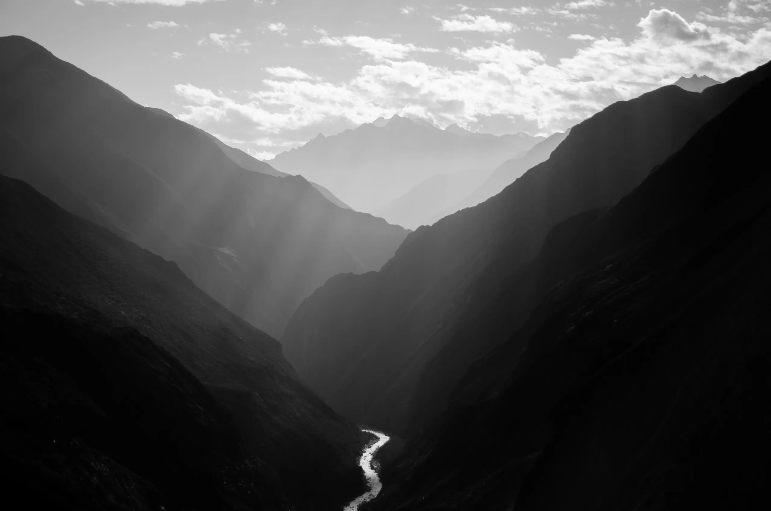
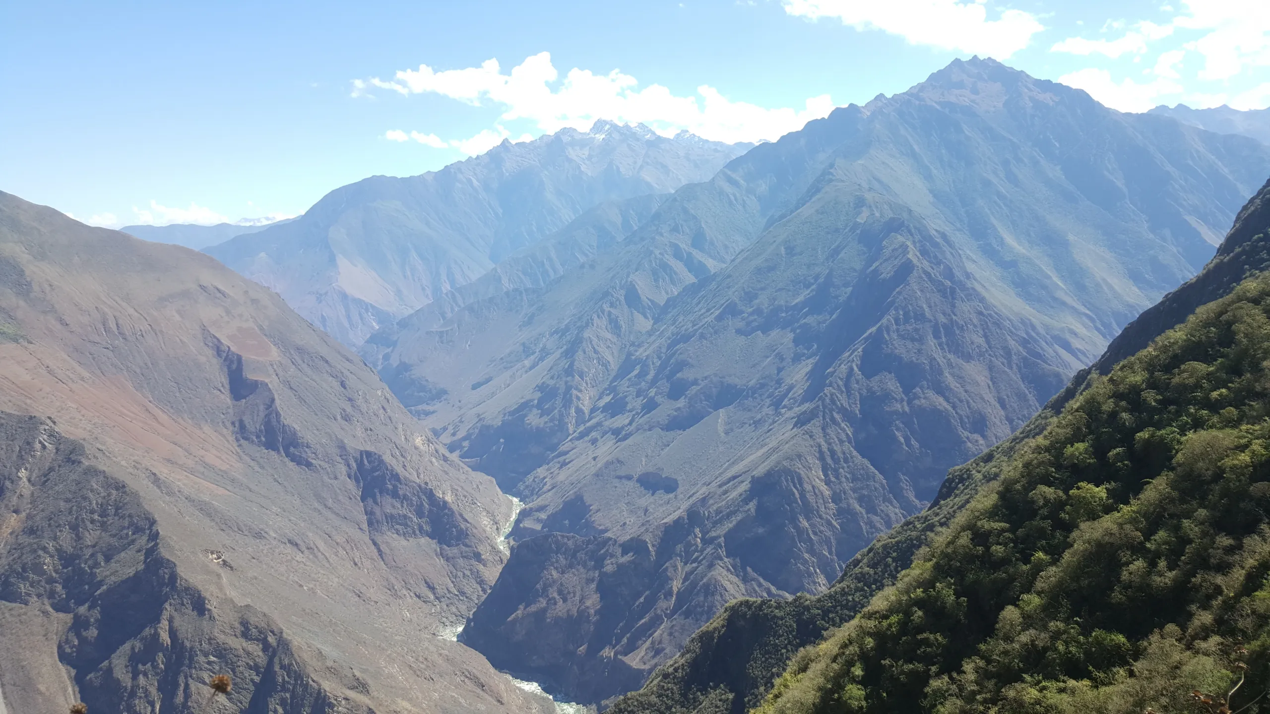
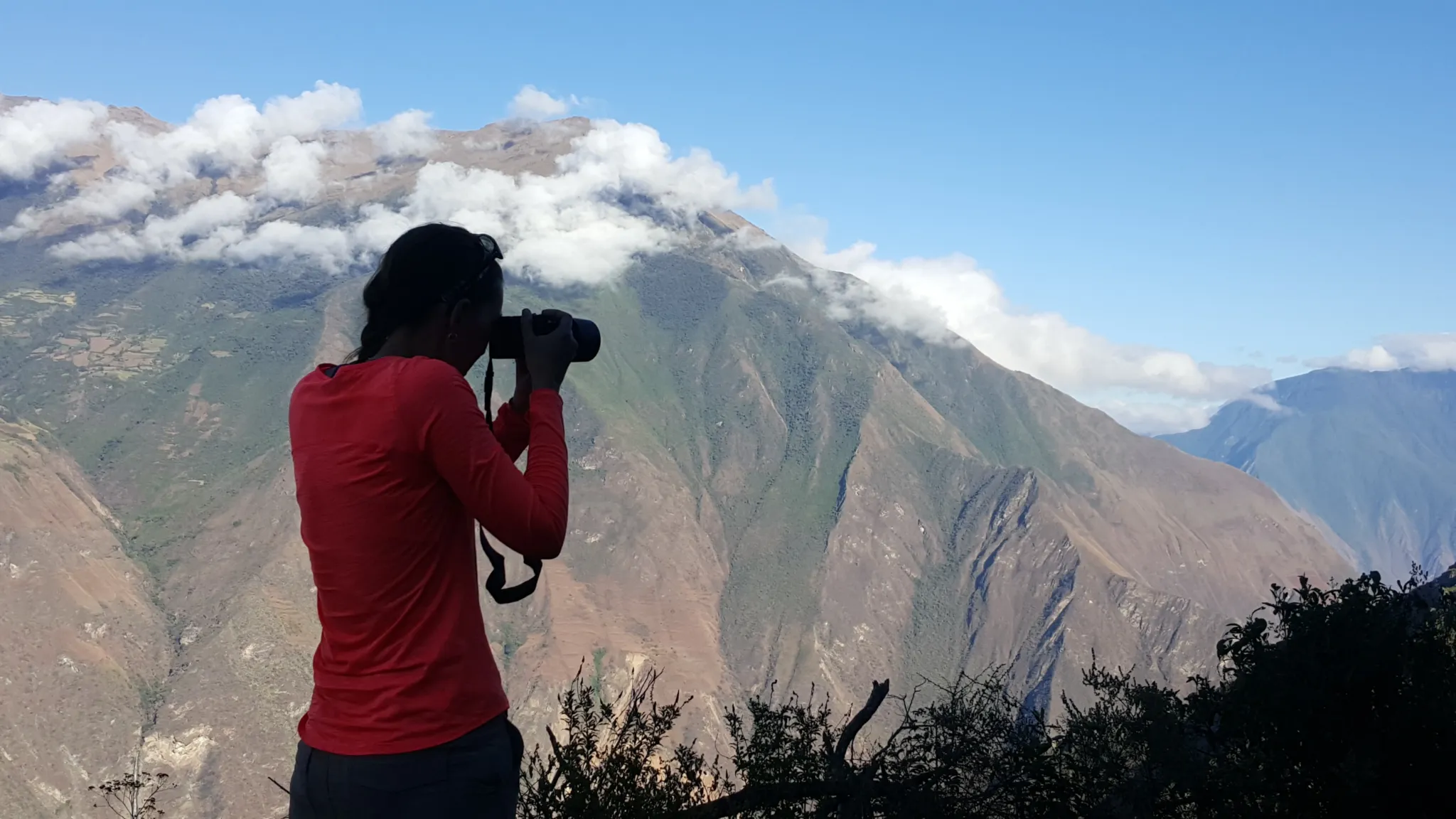
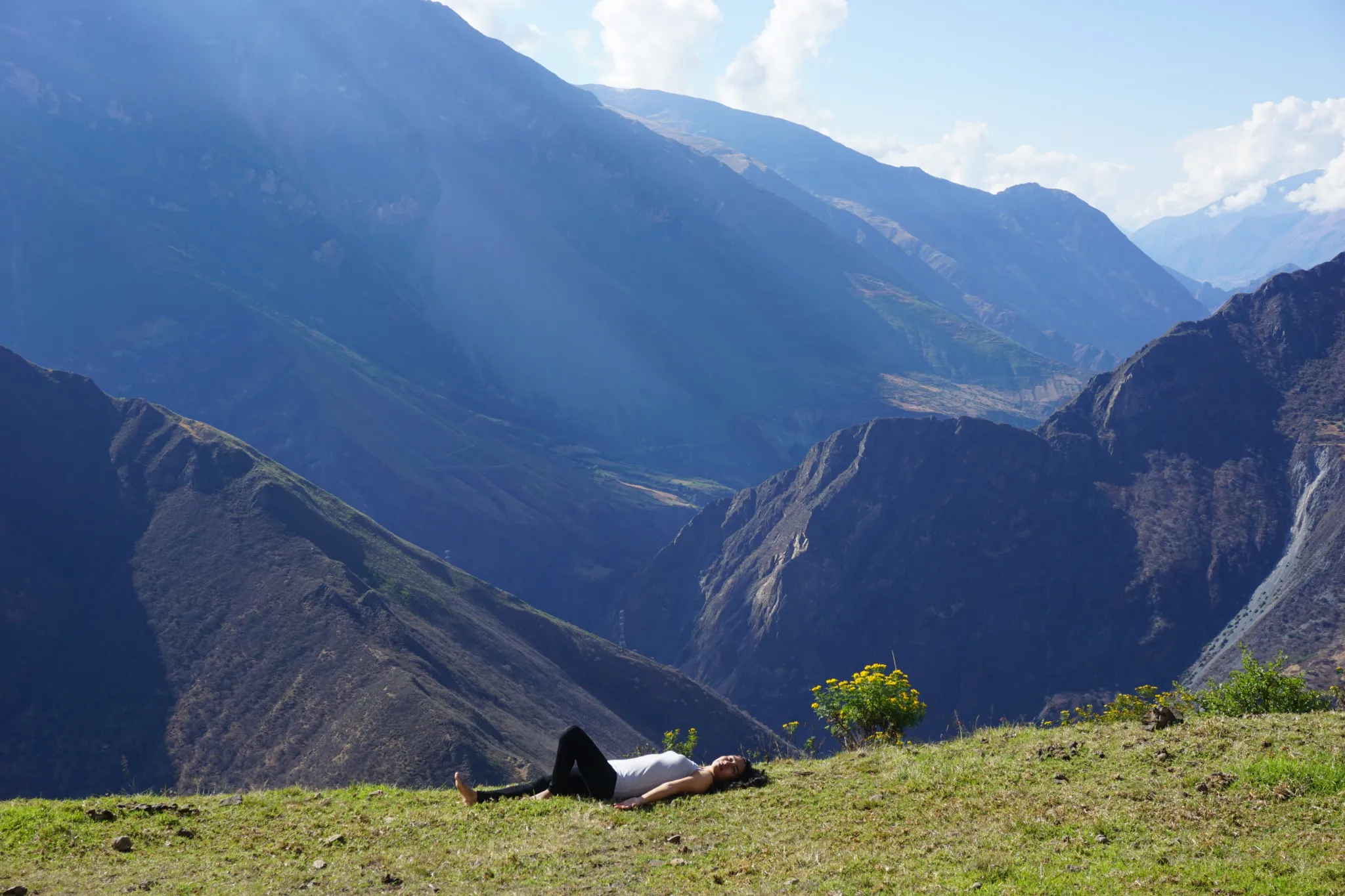
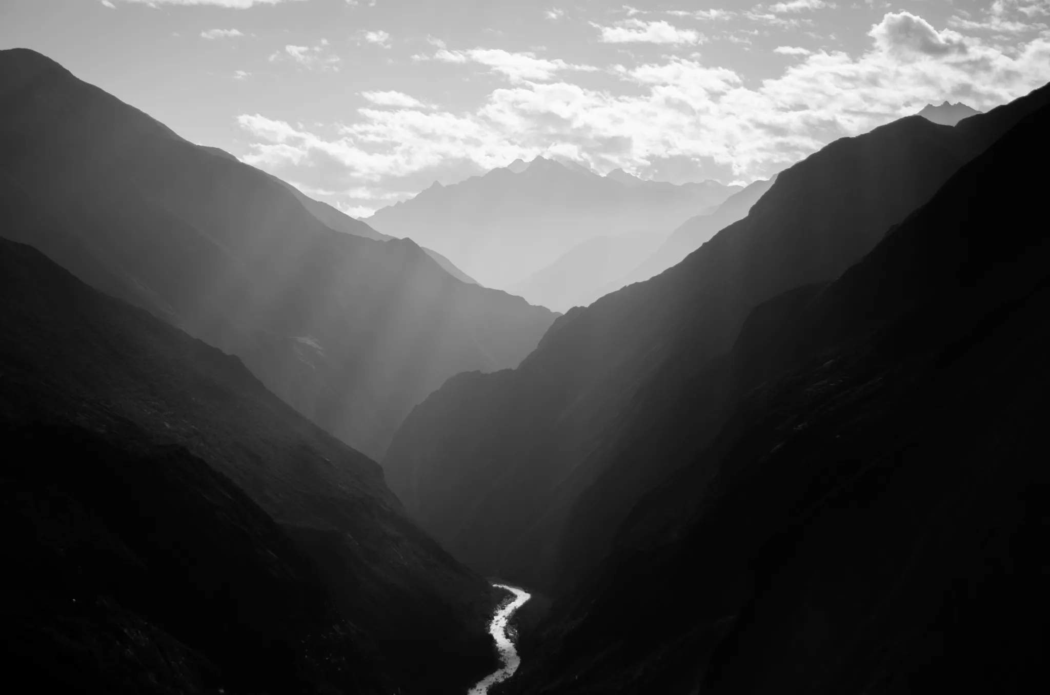
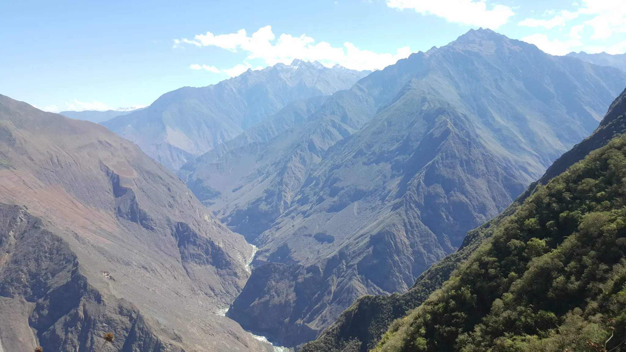
Getting there requires crossing the Apurímac Canyon — deeper than the Grand Canyon, crossed by a suspension bridge at the bottom where the river that named itself the god who speaks runs fast and loud between walls of rock that rise more than 1,500m / 4,921ft on both sides. The climb out the other side, through cloud forest and along cliff-edge trails with glacier views that extend to the horizon, is among the most physically demanding approaches to any archaeological site in the Americas.

There are no buses. There is no train. There is no shortcut.

That inaccessibility is the point — and the preservation. On the day you stand in Choquequirao’s main plaza, the number of other people present will be countable. On most days, it will be zero.


4 Choquequirao trek highlights 


  • The Apurímac Crossing: A suspended bridge over 1,500m / 4,921ft canyon depths, testing nerve and rewarding with condor-eye views.
  • Choquequirao’s Sunrise Revelation: Private access to the citadel’s main plaza at dawn.
  • The Marampata: the trail along the cliffs with infinite vistas of the andes and glaciers.
  • The Condor Corridor: Guaranteed wildlife encounter with South America’s largest raptors.


Choquequirao trek


What Five Days in the Apurímac Does to a Person

The therapeutic logic of this trek is not subtle. The Apurímac Canyon is one of the most extreme landscapes in South America — a place where the scale of the natural world becomes impossible to ignore and the scale of ordinary human concern becomes proportionally reduced. Two days of descent and ascent through that canyon, followed by a full day inside one of the least-visited sacred sites on earth, followed by two days of return through the same landscape with a completely different internal state — this is a particular kind of recalibration that no wellness program has ever replicated in a controlled environment.

The Inka method framework applied throughout by your guide reads the canyon, the trail, and the citadel as a therapeutic sequence — each day building on the previous one, the physical demand and the ancestral knowledge working together rather than separately. By Day 3, inside Choquequirao with the morning light on stones that 80% of the world has never seen, most people find that whatever they came carrying has been considerably rearranged.

Cusco → Capulilloq → Apurímac River → Santa Rosa | 12 km / 7.5 miles | Moderate to Difficult

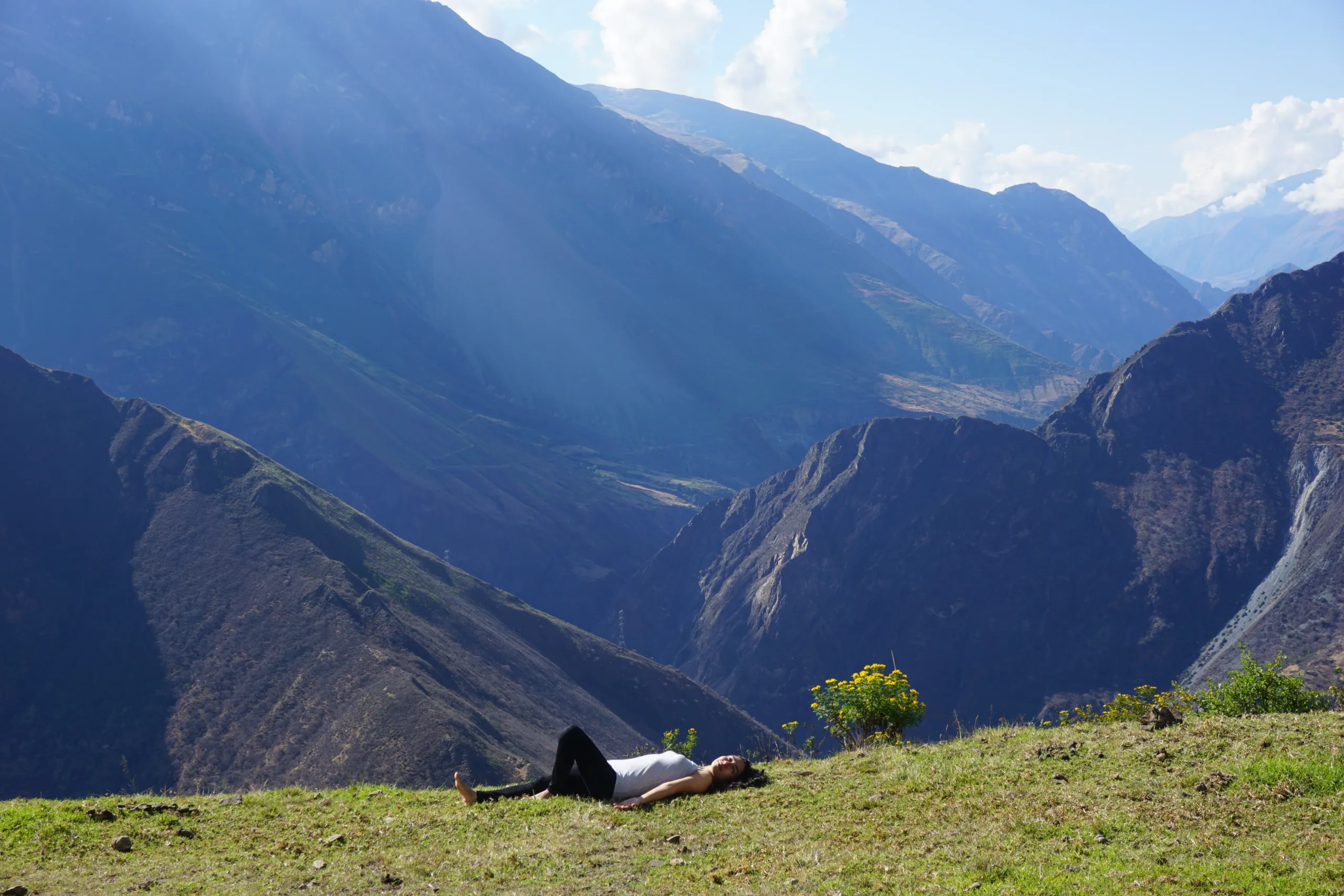
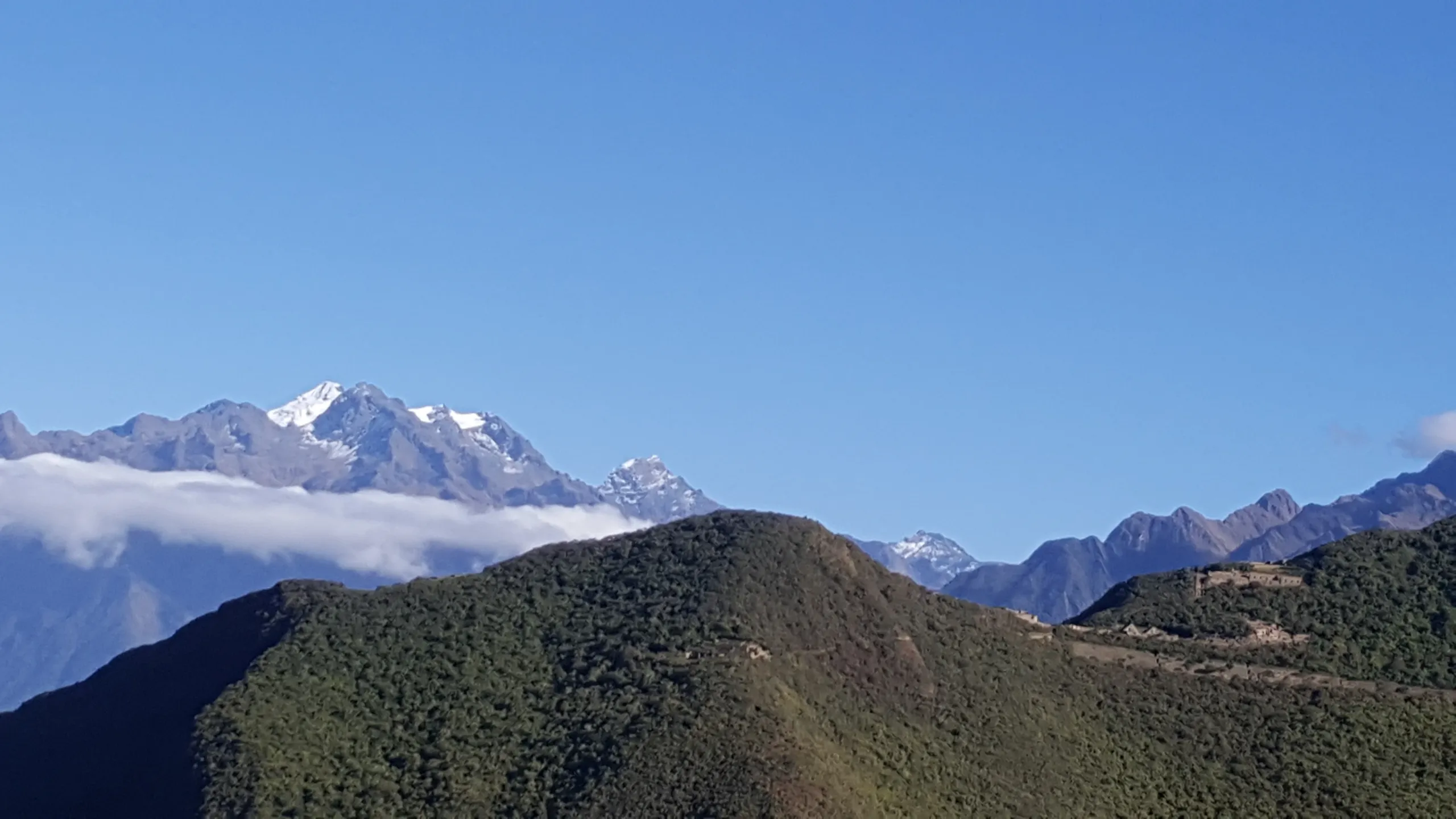
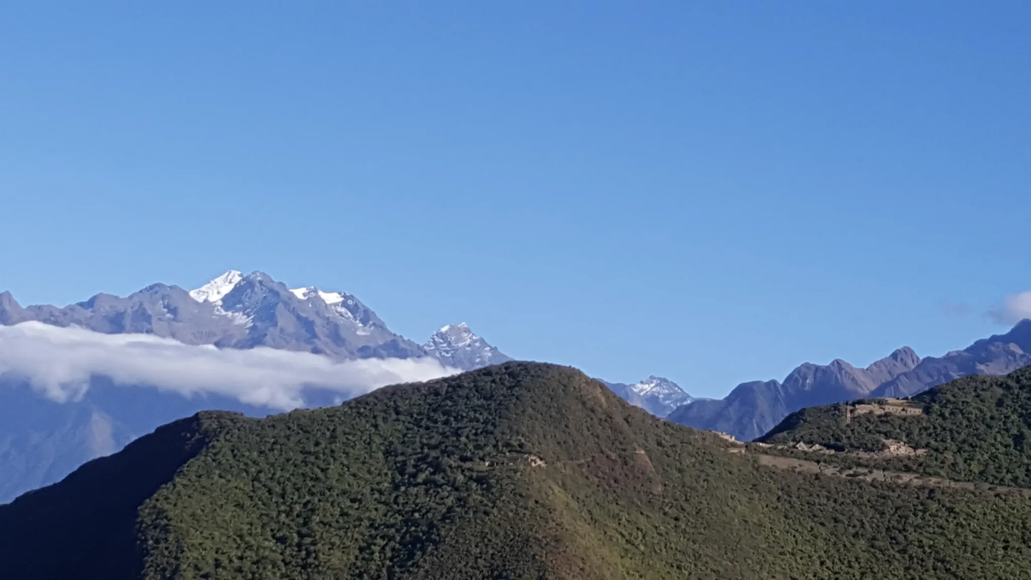
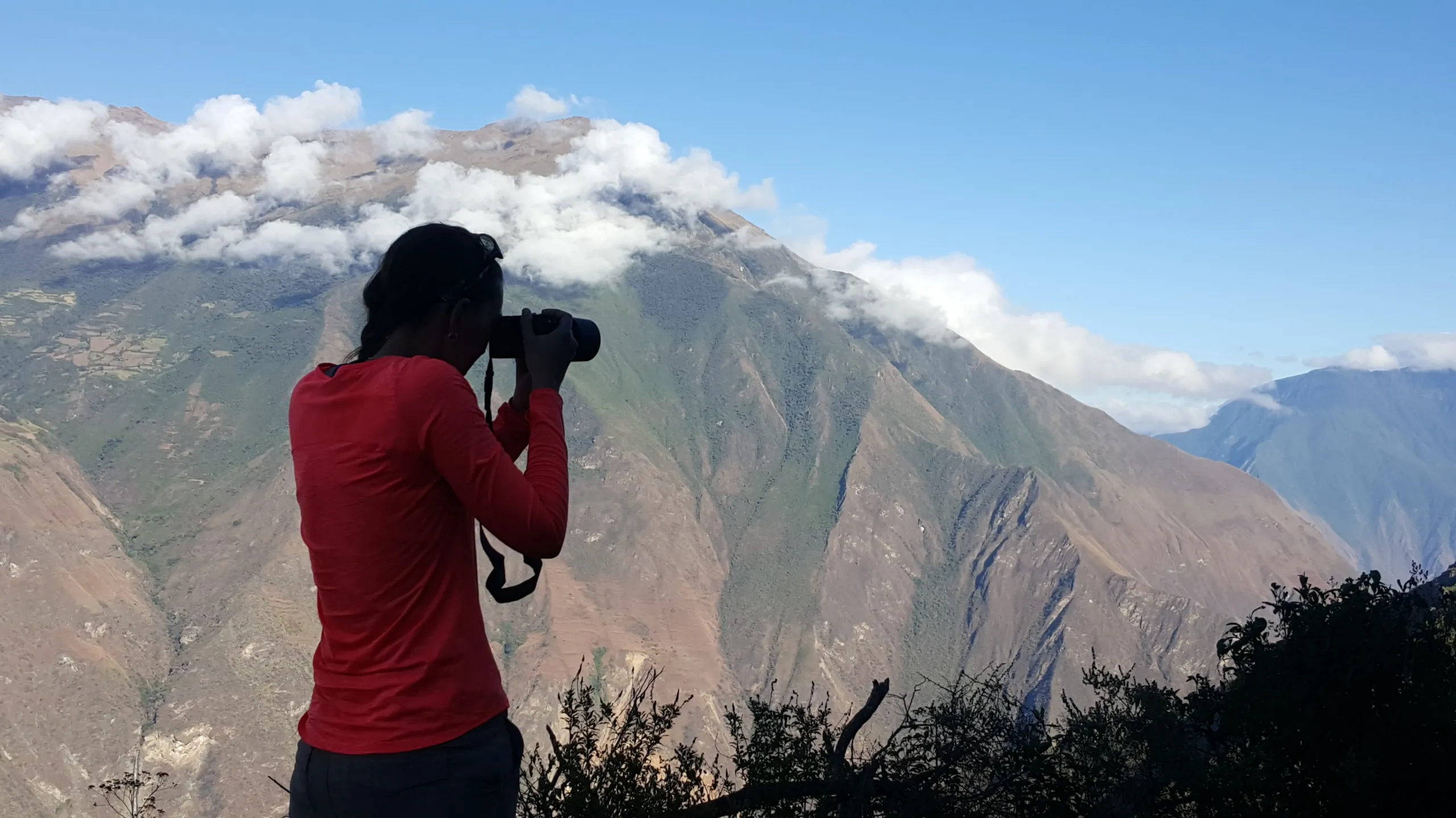
Five hours from Cusco by road to Capulilloq — the trek’s entry checkpoint, perched at 2,850m / 9,350ft where the Apurímac Canyon reveals itself without warning or preparation. Glaciers on the horizon. Choquequirao visible in the distance as a series of terraces cut into a forested ridge. Condors, with reasonable frequency, riding the thermal columns above the canyon walls.

The descent to the Apurímac River is long, hot, and dry — the canyon creates its own climate, and the temperature at the river base bears no relationship to the altitude that produced it. The suspension bridge crossing is the day’s defining moment: a few meters of wire and wood above 1,500m / 4,921ft of canyon, the river loud below, the walls rising on both sides into cloud.

The ascent to Santa Rosa camp begins immediately after the crossing. The Milky Way over the Apurímac Canyon, from a campsite with no light pollution for a hundred kilometers in any direction, closes the day.

  • Distance: 12 km / 7.5 miles
  • Altitude range: 1,550m / 5,085ft – 2,850m / 9,350ft
  • Overnight: Camp at Santa Rosa


Santa Rosa → Marampata → Choquequirao | 12 km / 7.5 miles | Difficult to Moderate

The morning climb from Santa Rosa is the hardest sustained ascent of the trek — through increasingly humid cloud forest, the vegetation thickening and greening as the altitude rises, the canyon views expanding behind you with every switchback. Marampata arrives like a reward: a small village on a cliff edge with a panorama of the Andes that stretches to glaciers in three directions, and the knowledge that the worst of the climbing is finished.

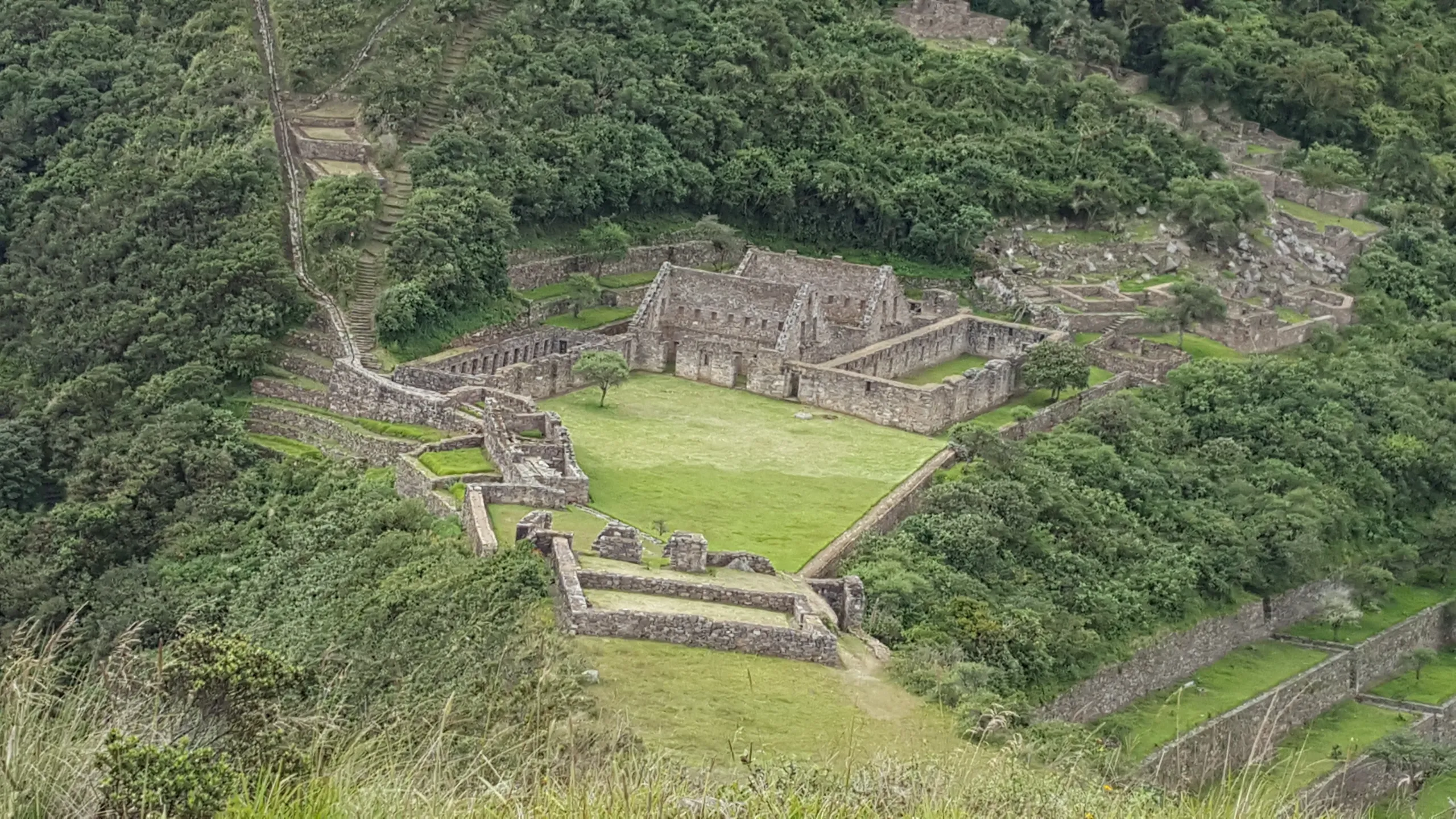
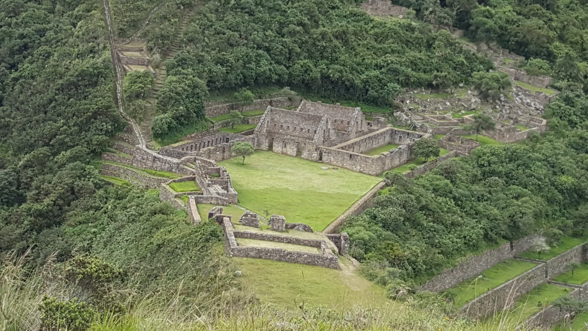
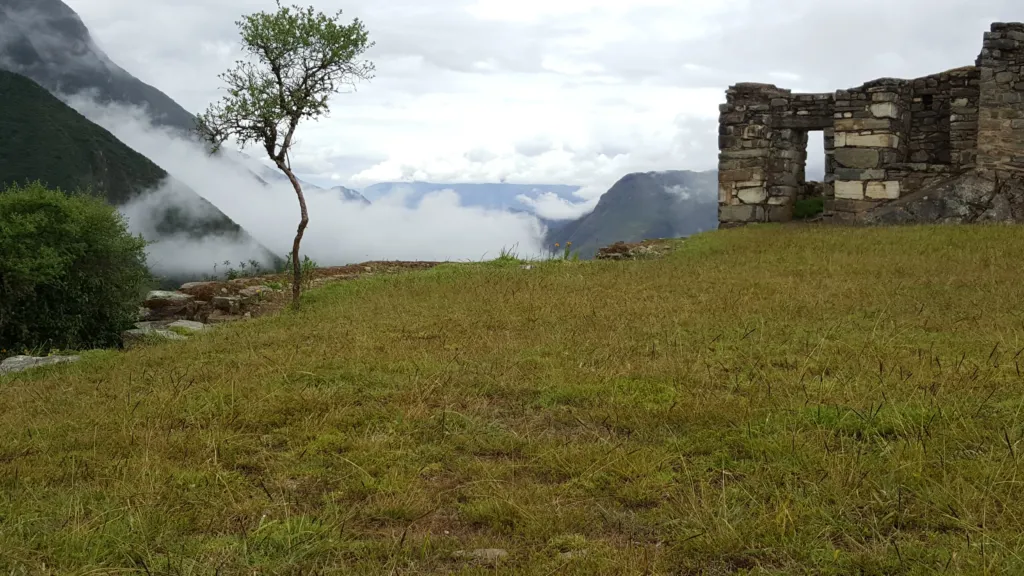
From Marampata the trail continues through a landscape of ups and downs that reveals Choquequirao from multiple angles before delivering it — the terraces emerging from the cloud forest, the main plaza taking shape, the scale of it becoming clear in a way that the distant view from Day 1 did not prepare you for.

Camp inside Choquequirao. The citadel at night, with no other visitors and the canyon below holding its particular darkness, is something that exists almost nowhere else on earth.

  • Distance: 12 km / 7.5 miles
  • Altitude range: 2,100m / 6,890ft – 3,000m / 9,843ft
  • Overnight: Camp at Choquequirao

Choquequirao — Full Day Exploration | Moderate

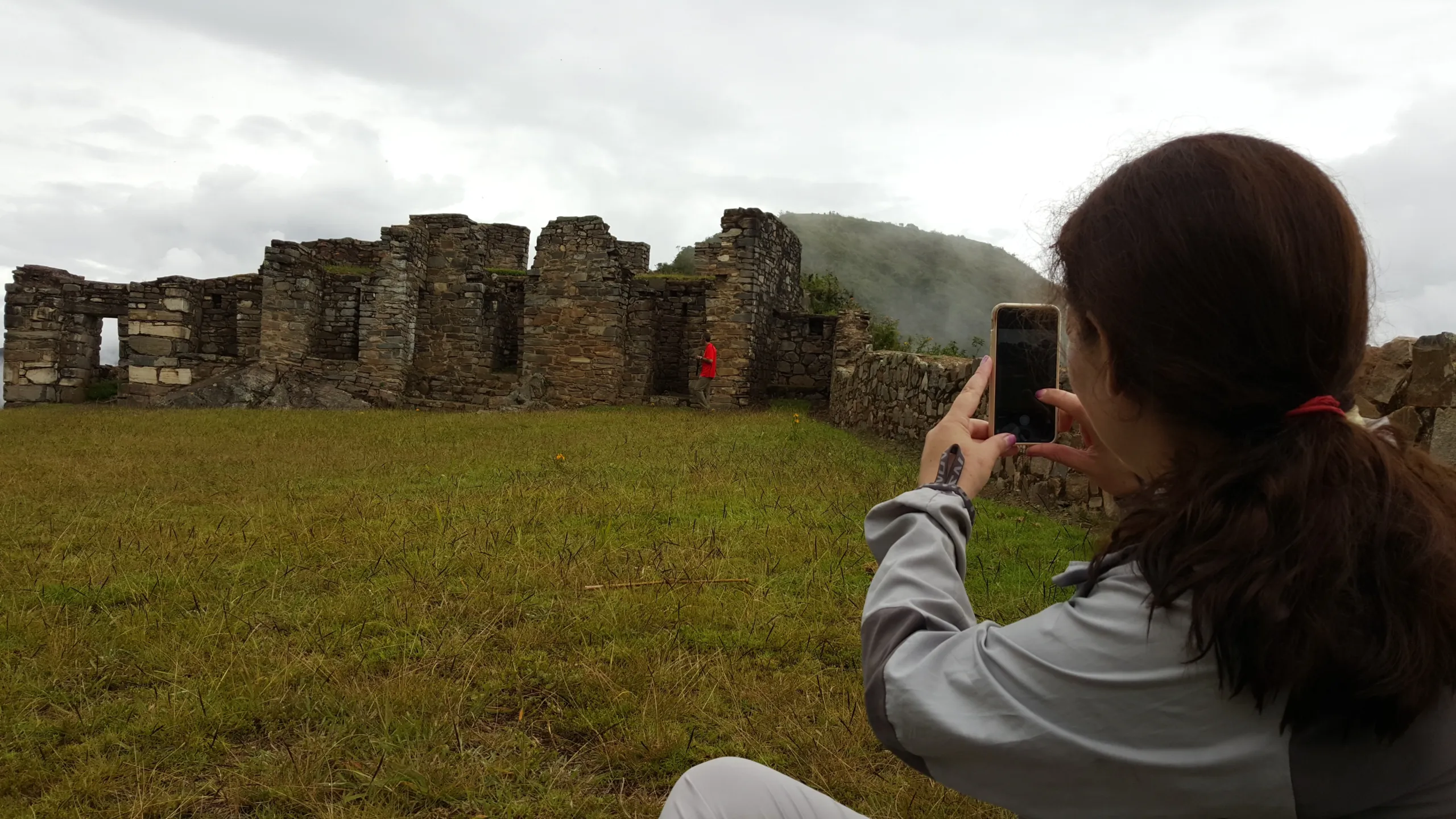
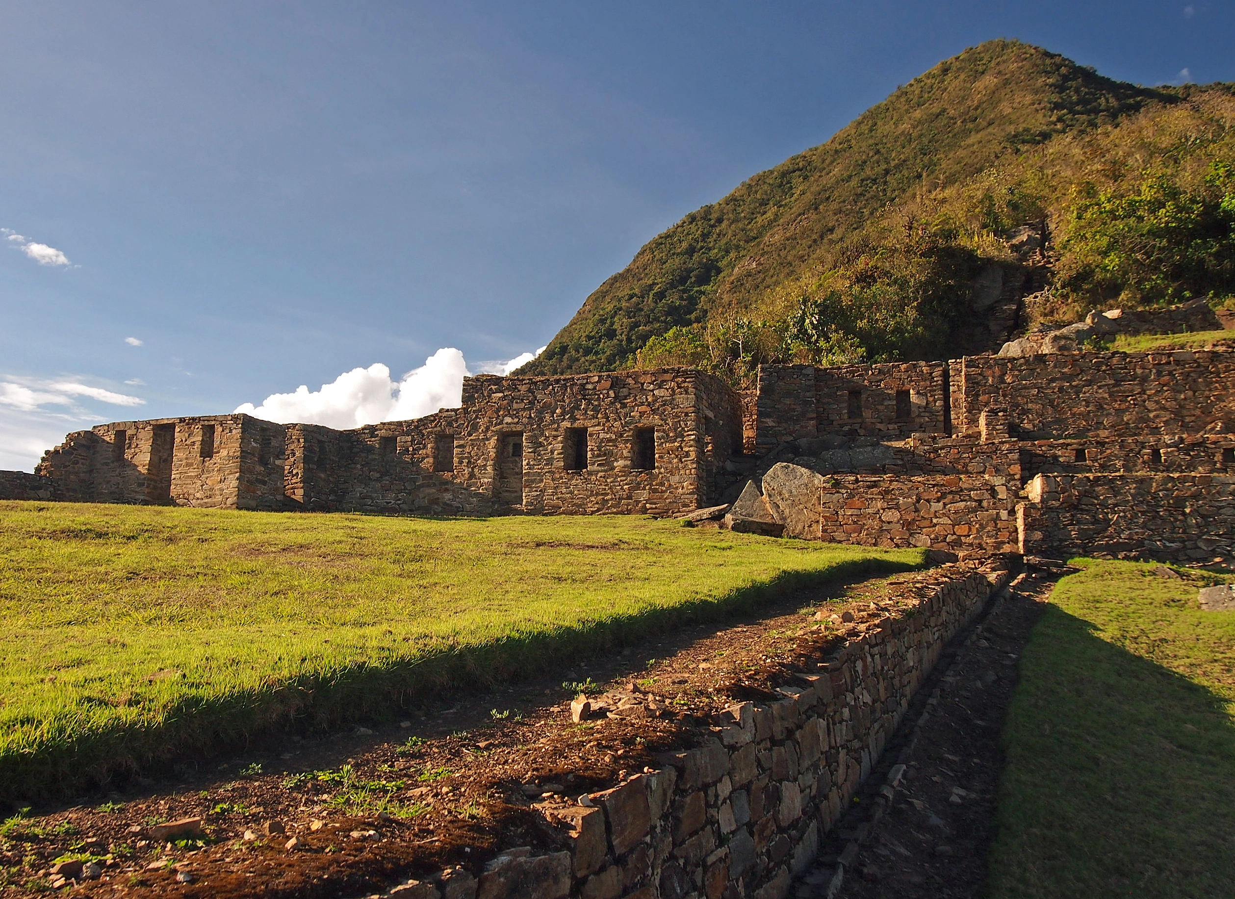
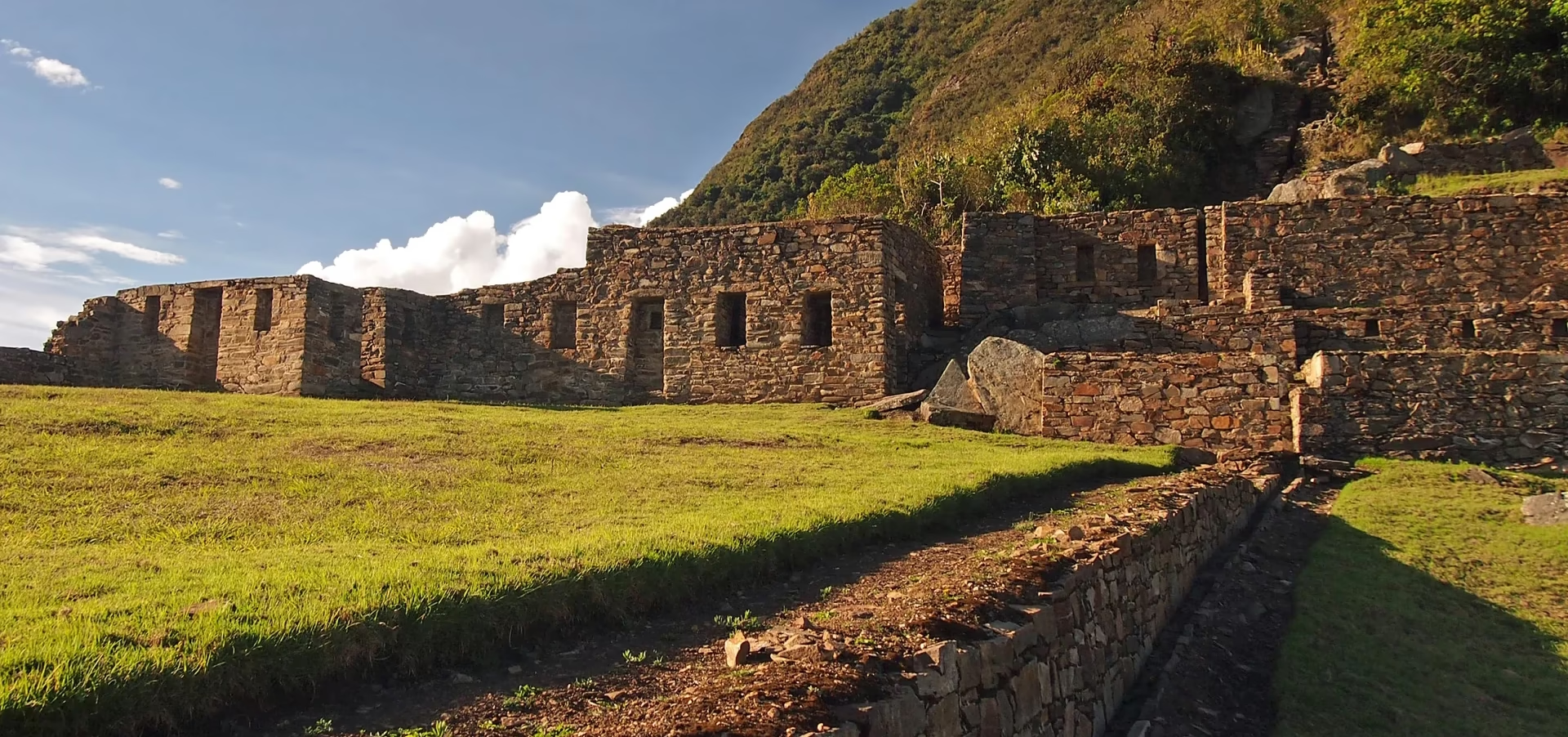
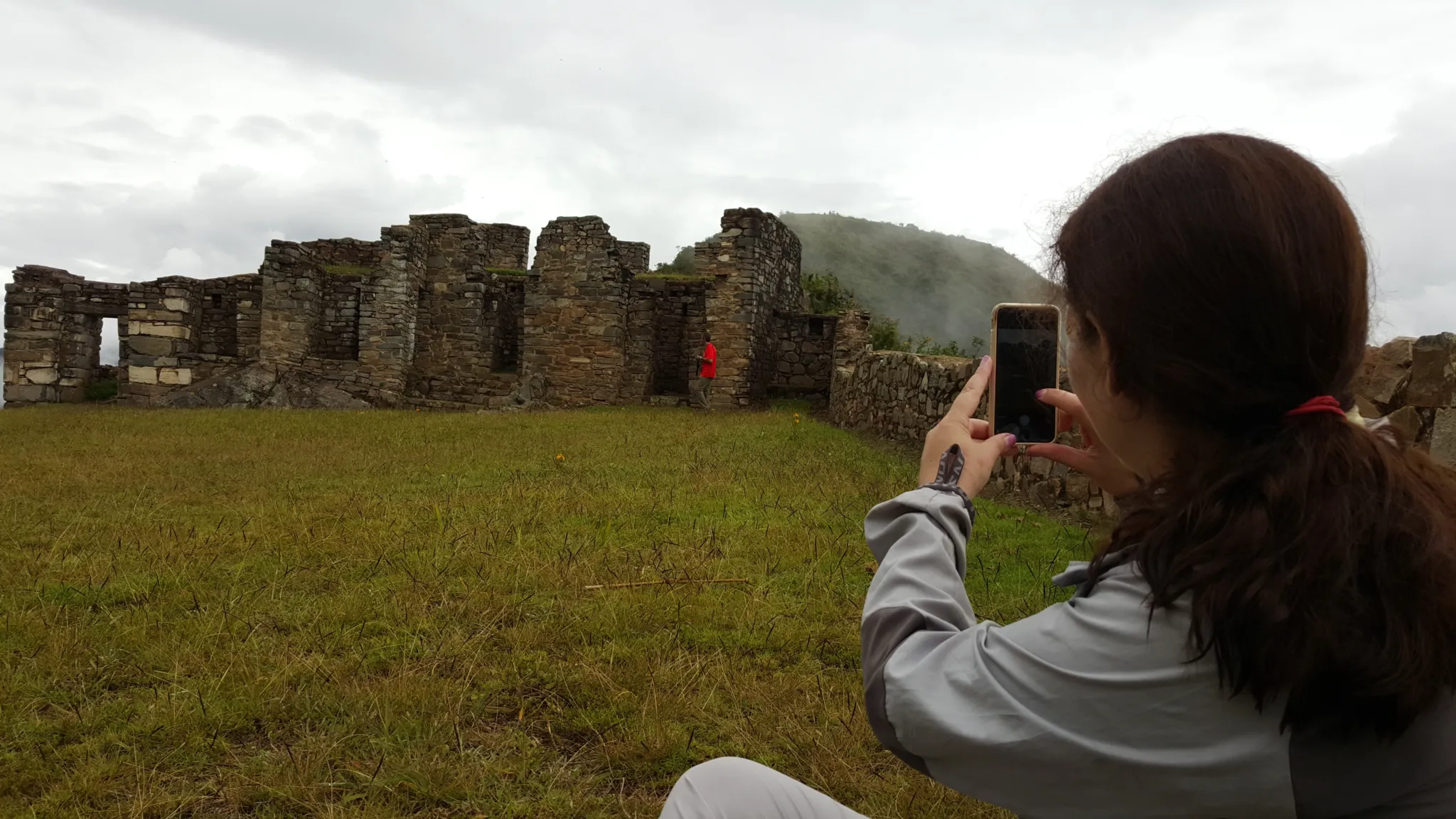
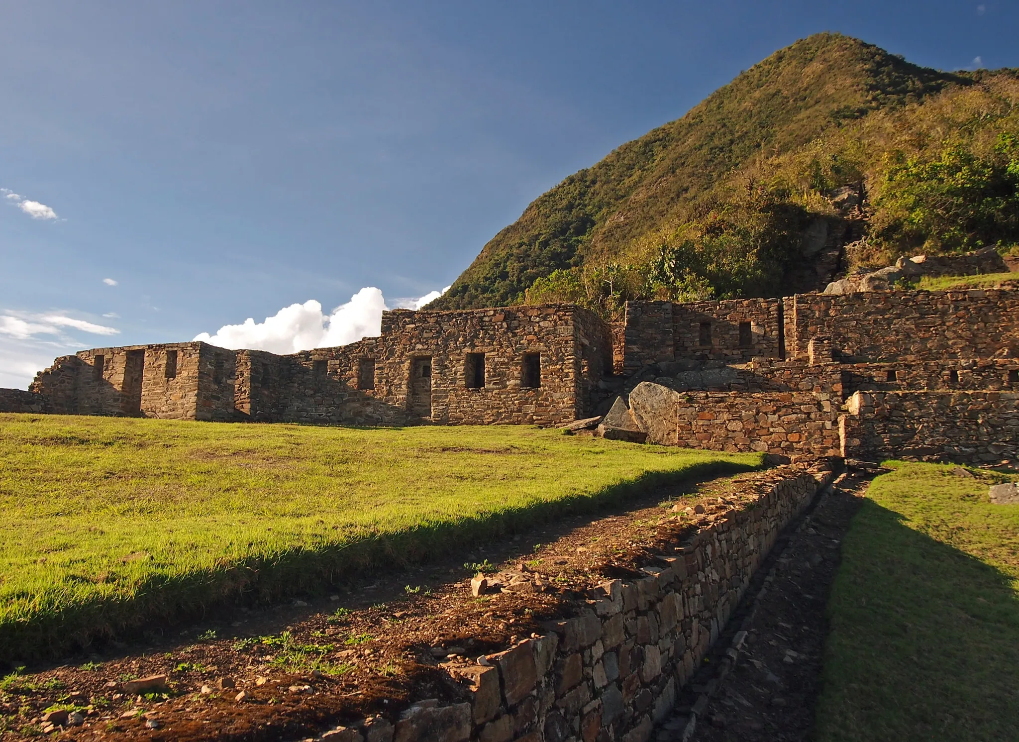
A full day inside a citadel that is three times the size of Machu Picchu, 80% unexcavated, and receiving fewer visitors in a week than Machu Picchu receives in an hour.

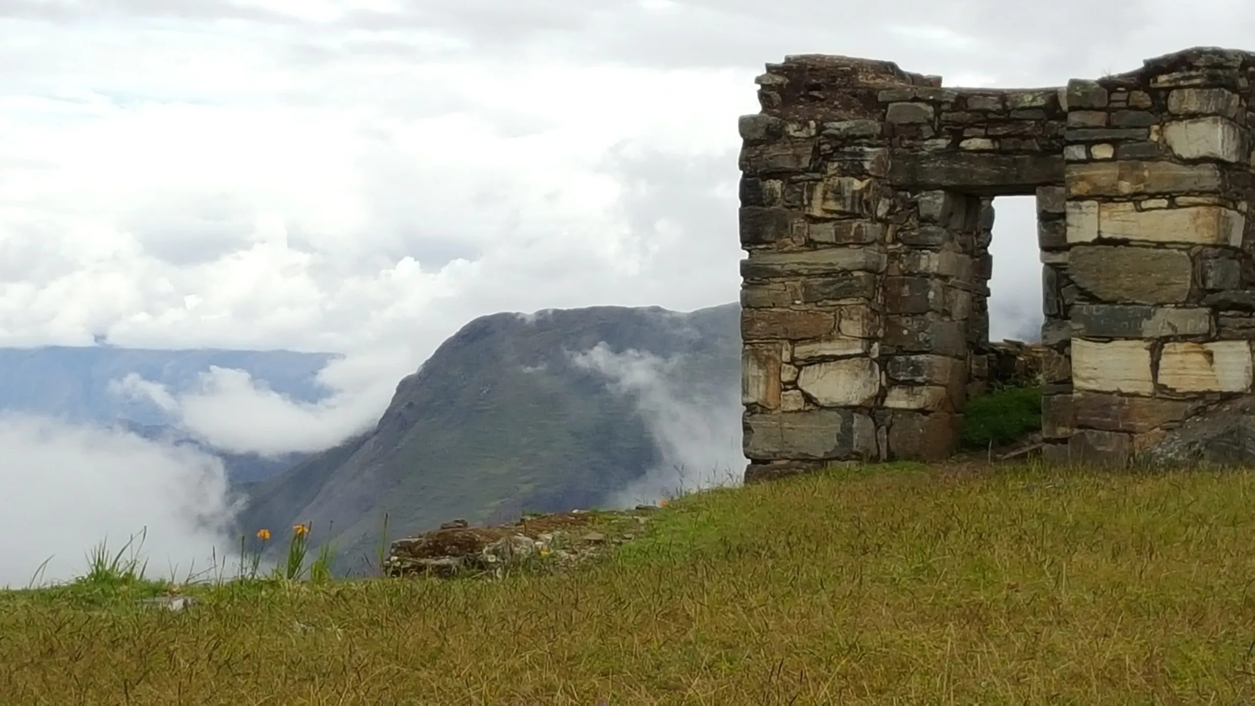
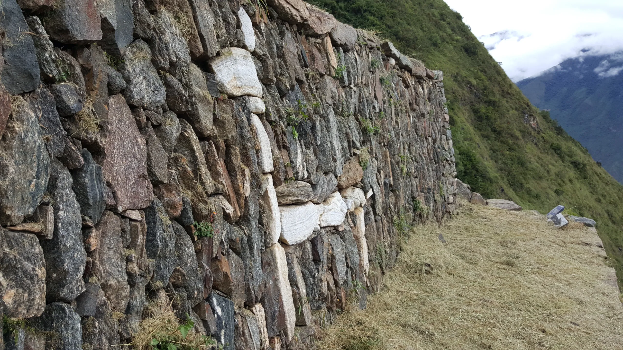
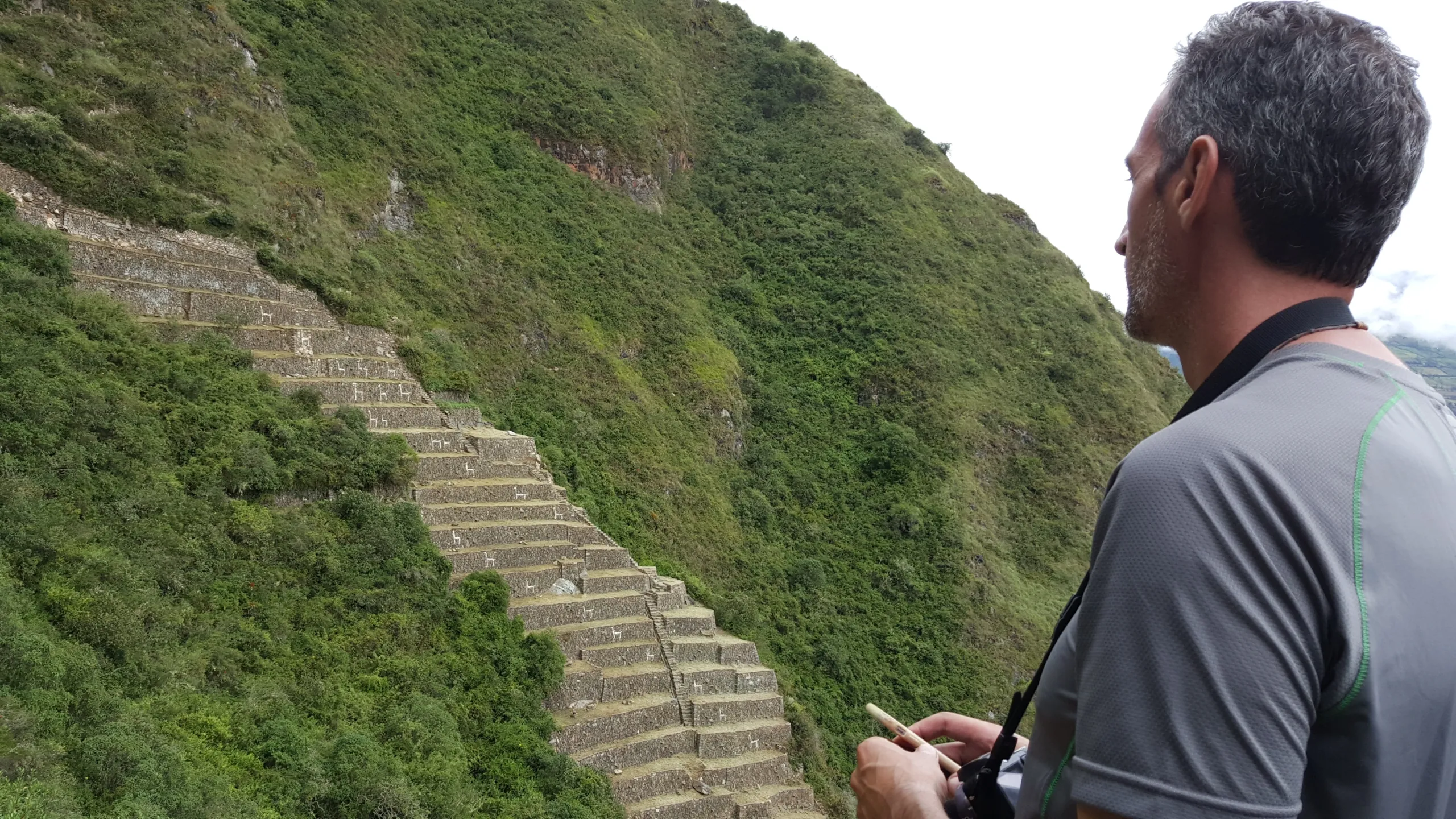
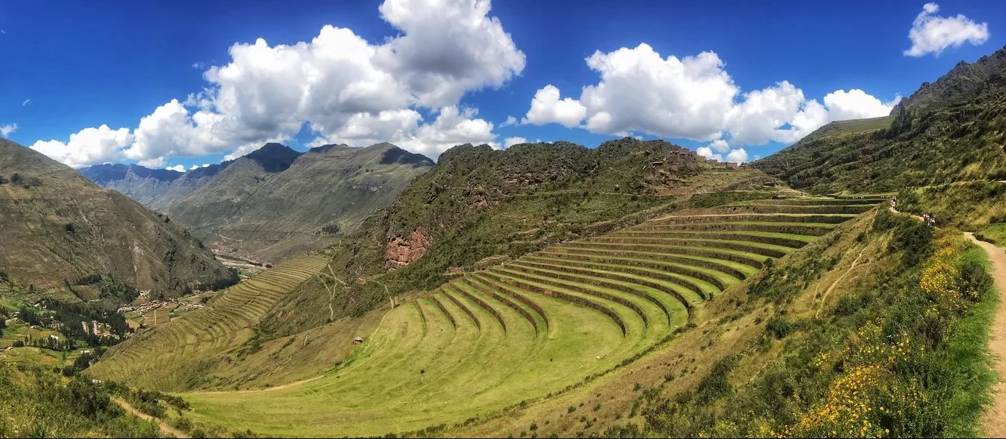
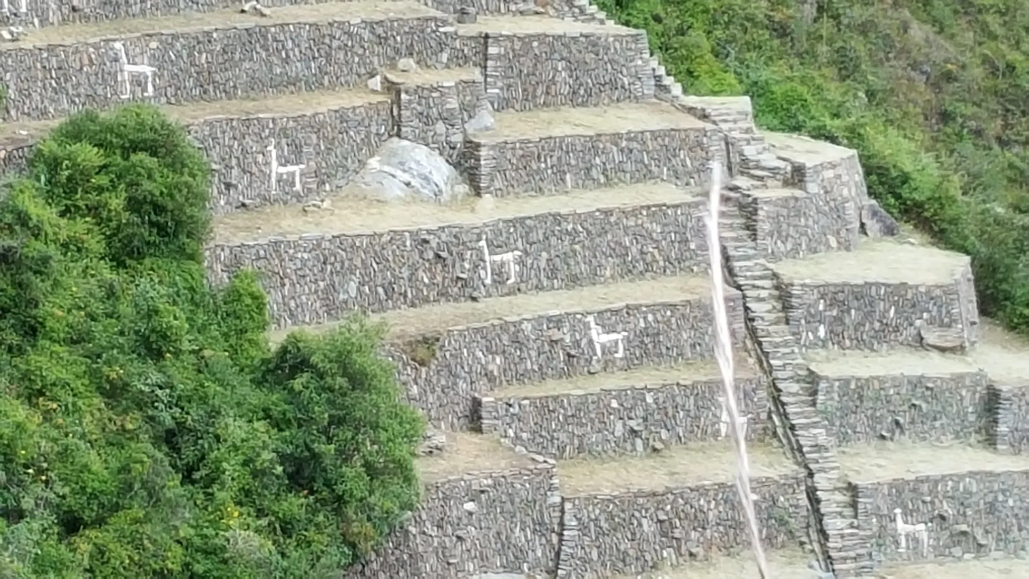
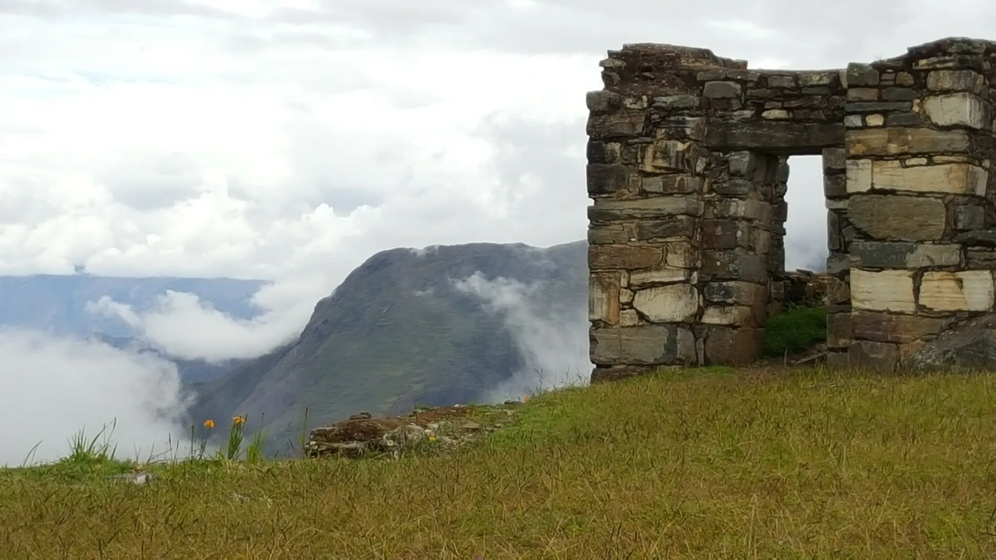
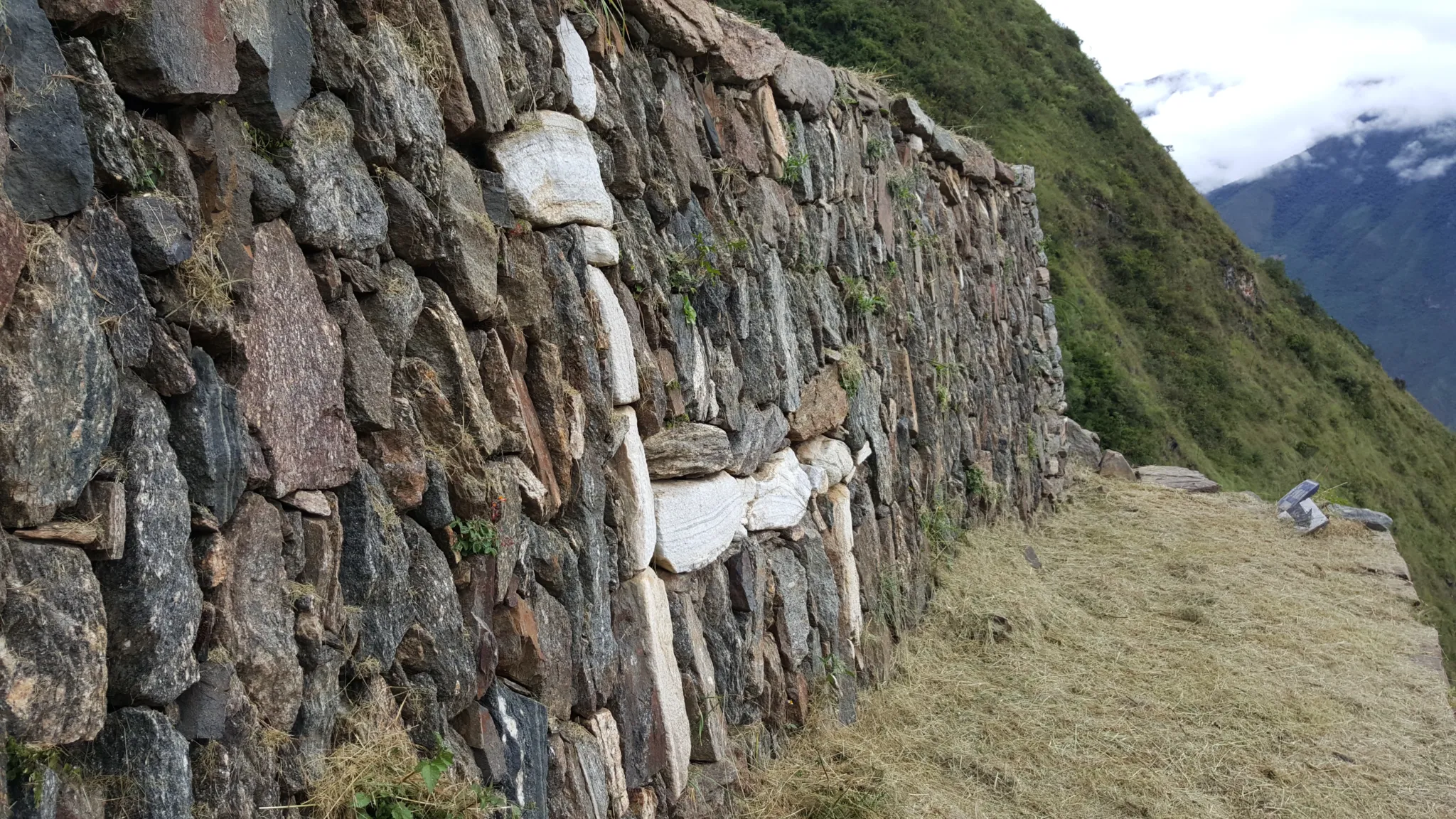
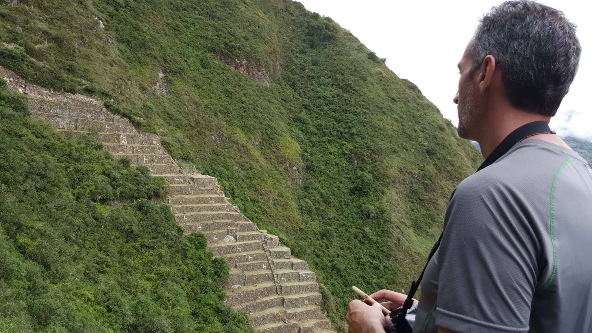
The known sections — the main plaza, the agricultural terraces, the ceremonial platforms, the llama terraces with their distinctive stone reliefs — are explored with the depth that a full day and an unhurried guide make possible. The Inka method framework moves through the site not as a tour but as a reading — the architectural choices, the astronomical alignments, the relationship between the citadel and the canyon it commands, the stories that the local communities of the Apurímac have carried about this place through five centuries of deliberate obscurity.

The afternoon moves to Marampata camp — a short walk with the full weight of the day’s exploration settling into the body and the canyon views holding the light until it finally disappears.

  • Distance: Free exploration + 4 km / 2.5 miles
  • Altitude range: 2,880m / 9,449ft – 3,050m / 10,007ft
  • Overnight: Camp at Marampata

Marampata → Apurímac River → Chiquisca | 13 km / 8.1 miles | Moderate to Difficult

The return descends through the camp of Day 1, back to the Apurímac River and the suspension bridge, then climbs to Chiquisca on the far side. The route is familiar but the internal state is not — the canyon that felt overwhelming on Day 1 now feels navigable, the distances that seemed impossible now feel measurable. That shift is itself therapeutic, and your guide will name it.

  • Distance: 13 km / 8.1 miles
  • Altitude range: 1,550m / 5,085ft – 3,000m / 9,843ft
  • Overnight: Camp at Chiquisca

Chiquisca → Capulilloq → Cusco | 7 km / 4.3 miles + 176 km / 109.4 miles by road | Difficult

The final climb to Capulilloq is the steepest of the return — a morning of sustained effort that ends at the checkpoint where the canyon first revealed itself five days ago. The view from that point, with the full knowledge of what lies below and beyond it, is categorically different from the view on Day 1.

The drive back to Cusco takes five hours through the Andean landscape. Most people sleep for most of it.

  • Distance: 7 km / 4.3 miles on foot + 176 km / 109.4 miles by road
  • Maximum altitude: 2,850m / 9,350ft
Tour route
Capuliyoc to Chiquisca

Frequently Asked Questions

How does Choquequirao compare to Machu Picchu archaeologically?

The honest answer is that nobody fully knows yet — 80% of the site remains unexcavated. What has been uncovered suggests a citadel of comparable architectural sophistication and greater territorial scale. The llama terrace reliefs, the ceremonial plaza alignment, and the site's position relative to the Apurímac Canyon indicate a level of cosmological and engineering intentionality that matches anything at Machu Picchu. The difference is that Choquequirao has not been interpreted, packaged, and presented for mass consumption. What you encounter there is raw in a way that Machu Picchu, for all its magnificence, no longer is.

Is there a plan to build a cable car to Choquequirao?

There has been ongoing discussion of a cable car project that would dramatically increase visitor access to the site. As of now it remains unbuilt, and the trek remains the only way in. Whether that changes in coming years is uncertain. What is certain is that the experience of Choquequirao as it currently exists — accessible only by two days of canyon crossing — is finite. The window for experiencing it this way is open now.

What is the physical demand of crossing the Apurímac Canyon twice?

It is the defining physical challenge of the trek. The canyon crossing involves a descent of more than 1,300 vertical meters followed immediately by an ascent of similar magnitude — done on Day 1 in significant heat, and repeated in reverse on Day 4. The difficulty rating of moderate to difficult reflects the combination of sustained gradient, temperature, and cumulative load rather than any single technically demanding section. Preparation should focus on cardiovascular fitness, downhill leg strength, and heat tolerance. Trekking poles are strongly recommended.

How many people will we encounter on the trail and at the site?

The Choquequirao trail receives a fraction of the traffic of the Inca Trail — on any given day, you may encounter a handful of other trekking groups on the path, and at the site itself the number of simultaneous visitors is typically very small. Overnight camping at Choquequirao with no other groups present is common. This is the experience that the site's remoteness has preserved, and it is the primary reason the trek demands the effort it does.

What wildlife is realistically visible on this route?

Condors are the most significant wildlife encounter — the Apurímac Canyon thermal columns are among the most reliable condor viewing locations in Peru, and sightings on the descent and ascent are frequent rather than exceptional. The cloud forest sections of Day 2 support significant bird diversity. The canyon ecosystem also hosts a range of reptiles and small mammals adapted to the extreme elevation gradients. Your guide is trained in the area's wildlife and will read the landscape accordingly.

What is the best time of year for this trek?

The dry season — May through October — offers the most reliable trail conditions and the clearest views. The Apurímac Canyon generates its own microclimate regardless of season, meaning heat at the river base is a constant. The wet season brings cloud forest sections to their most dramatically green and the waterfalls to full flow, but also makes certain sections significantly more challenging. We operate the trek year-round and will advise on conditions for your specific dates.

Included/Excluded

  • Incluido All transportation.
  • Incluido Guide service.
  • Incluido Food as described (breakfast=B, Lunch=L, dinner=D).
  • Incluido Entrance fees and permits for the detailed visit sites.
  • Incluido Chef for the trek.
  • Incluido Cooking equipment.
  • Incluido Camping equipment.
  • Incluido Transport mules.
  • Incluido Horseman – mule driver.
  • Incluido Boiled or purified water.
  • No Included Bottle of water or sports drink.
  • No Included Tipping for staff.
  • No Included Travel insurance
  • No Included Flight tickets
  • No Included Sleeping bag

Attractions

Choquequirao

Activities

Camping, Culinary, Discoveries, Experiential tourism, Full nature, Llama experience, Picnic, Rural house, Trekking, Viewpoint of Condors

Nothing to show, please go to blogs.

Journey Investment

From: $1,862.00

Book This Journey

Top Trending
Salkantay trek has more epic landscapes for an experience of a lifetime.
Salkantay Trek 6 days
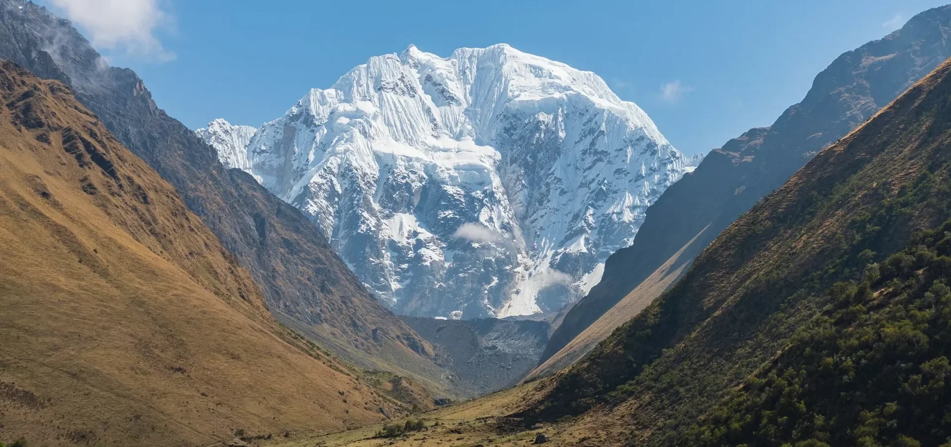
Salkantay — the savage mountain — at 6,271m / 20,574ft on one side, Humantay's glacial lake on the other, and six days of Andean terrain that moves from ice to cloud forest to Machu Picchu without repeating itself once.
Picchu Machu Picchu
It is an Andean journey that combines nature, culture and ancient wisdom. A journey with purpose and deep connection through the most exciting tours with stunning scenery, to approach you to the therapeutic goal.
Only the deepest of the andes could give you a true experience, dare to the Inka journey.
Inka Journey

A deep journey through Cusco’s natural and cultural sanctuaries — blending trekking, therapy, and ancestral wisdom to rediscover yourself in the heart of the Andes.

Memories and more experiences fo you
Full experience
Huchuy Qosqo, the Inca Trail, Rainbow Mountain, Machu Picchu, and the capital itself — the complete arc of what this civilization built, walked in the sequence that makes it fully legible.
Andes adventure
Andes Adventure
Fourteen days through the most remote high-altitude terrain in the Cusco region — Sibinacocha, Ausangate, Rainbow Mountain, and passes above 5,400m / 17,717ft. The long version of the Andes, walked in full.
Get a different perspective on life with our experiential tourism category. Fantastic experiences await you, but upgrade it with Facing the Andes program
Facing the Andes
Thirty days — as a member of a village. The Andes at full exposure: its labor, its language, its ancient sciences, and the version of yourself that only emerges at the edge of the familiar
Couple experience
Couple Experience
Stripped of language, routine, and every social script you perform together — what remains is the relationship you actually have. One week in the Andes to find out what that is.

You may like

Cart0
Cart0